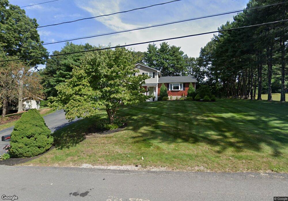
9 Fairway Dr Canton, MA 02021
Estimated Value: $891,129 - $1,003,000
4
Beds
3
Baths
1,913
Sq Ft
$502/Sq Ft
Est. Value
About This Home
This home is located at 9 Fairway Dr, Canton, MA 02021 and is currently estimated at $961,032, approximately $502 per square foot. 9 Fairway Dr is a home located in Norfolk County with nearby schools including Canton High School, St. John the Evangelist School, and Chabad Day School of School.
Ownership History
Date
Name
Owned For
Owner Type
Purchase Details
Closed on
Dec 3, 2025
Sold by
Mayer William R and Mayer Melissa D
Bought by
Mayer Lt and Mayer
Current Estimated Value
Home Financials for this Owner
Home Financials are based on the most recent Mortgage that was taken out on this home.
Original Mortgage
$500,000
Outstanding Balance
$499,051
Interest Rate
6.26%
Mortgage Type
Future Advance Clause Open End Mortgage
Estimated Equity
$461,981
Purchase Details
Closed on
Nov 25, 2003
Sold by
Wilkinson Roberta L and Wilkinson Robert G
Bought by
Mayer William R and Mayer Melissa D
Purchase Details
Closed on
Oct 31, 1995
Sold by
Lampert Bruce G and Lampert Audrey H
Bought by
Wilkinson Robert G and Wilkinson Roberta Lg
Purchase Details
Closed on
Jul 16, 1992
Sold by
Monahan William L and Monahan Elizabeth
Bought by
Lampert Bruce G and Lampert Audrey H
Create a Home Valuation Report for This Property
The Home Valuation Report is an in-depth analysis detailing your home's value as well as a comparison with similar homes in the area
Home Values in the Area
Average Home Value in this Area
Purchase History
| Date | Buyer | Sale Price | Title Company |
|---|---|---|---|
| Mayer Lt | -- | -- | |
| Mayer William R | $535,750 | -- | |
| Wilkinson Robert G | $265,000 | -- | |
| Lampert Bruce G | $250,000 | -- |
Source: Public Records
Mortgage History
| Date | Status | Borrower | Loan Amount |
|---|---|---|---|
| Open | Mayer Lt | $500,000 | |
| Previous Owner | Lampert Bruce G | $400,000 | |
| Previous Owner | Lampert Bruce G | $417,000 |
Source: Public Records
Tax History
| Year | Tax Paid | Tax Assessment Tax Assessment Total Assessment is a certain percentage of the fair market value that is determined by local assessors to be the total taxable value of land and additions on the property. | Land | Improvement |
|---|---|---|---|---|
| 2025 | $8,412 | $850,600 | $370,000 | $480,600 |
| 2024 | $8,038 | $806,200 | $355,800 | $450,400 |
| 2023 | $7,857 | $743,300 | $355,800 | $387,500 |
| 2022 | $7,599 | $669,500 | $338,800 | $330,700 |
| 2021 | $7,399 | $606,500 | $308,000 | $298,500 |
| 2020 | $7,111 | $581,400 | $293,300 | $288,100 |
| 2019 | $7,519 | $606,400 | $311,000 | $295,400 |
| 2018 | $7,289 | $586,900 | $299,100 | $287,800 |
| 2017 | $7,363 | $575,700 | $293,300 | $282,400 |
| 2016 | $7,229 | $565,200 | $286,100 | $279,100 |
| 2015 | $6,669 | $520,200 | $277,800 | $242,400 |
Source: Public Records
Map
Nearby Homes
- 59 Walpole St Unit 116
- 59 Walpole St Unit 210
- 356 Neponset St Unit E
- 84 Walpole St Unit 1C
- 360 Neponset St Unit 702
- 399 Neponset St Unit 106
- 399 Neponset St Unit 408
- 399 Neponset St Unit 411
- 399 Neponset St Unit 103
- 399 Neponset St Unit 105
- 399 Neponset St Unit 405
- 399 Neponset St Unit 301
- 399 Neponset St Unit 101
- 399 Neponset St Unit 310
- 399 Neponset St Unit 206
- 399 Neponset St Unit 202
- 399 Neponset St Unit 211
- 399 Neponset St Unit 209
- 265 Norfolk St
- 50 Coppersmith Way Unit 211
Your Personal Tour Guide
Ask me questions while you tour the home.