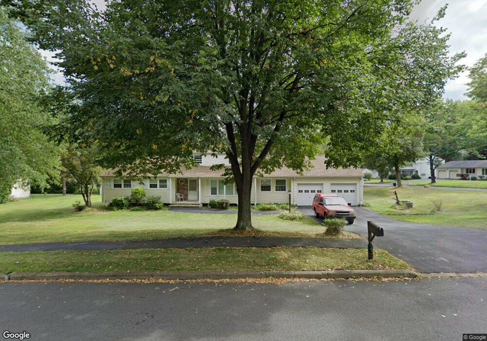
9 Farmstead Dr Parsippany, NJ 07054
Estimated Value: $579,000 - $749,000
--
Bed
--
Bath
1,900
Sq Ft
$355/Sq Ft
Est. Value
About This Home
This home is located at 9 Farmstead Dr, Parsippany, NJ 07054 and is currently estimated at $674,722, approximately $355 per square foot. 9 Farmstead Dr is a home located in Morris County with nearby schools including Lake Hiawatha Elementary School, Central Middle School, and Parsippany High School.
Ownership History
Date
Name
Owned For
Owner Type
Purchase Details
Closed on
Jan 14, 2014
Sold by
Pawlak Deborah and Sandus Samuel Ira
Bought by
Sandus Samuel Ira
Current Estimated Value
Purchase Details
Closed on
Apr 22, 2013
Sold by
Sandus Samuel Ira
Bought by
Sandus Samuel Ira and Pawlak Deborah
Purchase Details
Closed on
Jul 22, 1996
Sold by
Sandus Ester Bernice and Sandus Oscar
Bought by
Sandus Oscar
Create a Home Valuation Report for This Property
The Home Valuation Report is an in-depth analysis detailing your home's value as well as a comparison with similar homes in the area
Home Values in the Area
Average Home Value in this Area
Purchase History
| Date | Buyer | Sale Price | Title Company |
|---|---|---|---|
| Sandus Samuel Ira | $150,000 | Agent For Stewart Title Gura | |
| Sandus Samuel Ira | -- | None Available | |
| Sandus Oscar | -- | -- |
Source: Public Records
Tax History Compared to Growth
Tax History
| Year | Tax Paid | Tax Assessment Tax Assessment Total Assessment is a certain percentage of the fair market value that is determined by local assessors to be the total taxable value of land and additions on the property. | Land | Improvement |
|---|---|---|---|---|
| 2025 | $9,824 | $285,000 | $207,800 | $77,200 |
| 2024 | $9,639 | $285,000 | $207,800 | $77,200 |
| 2023 | $9,639 | $285,000 | $207,800 | $77,200 |
| 2022 | $7,571 | $285,000 | $207,800 | $77,200 |
| 2021 | $7,571 | $285,000 | $207,800 | $77,200 |
| 2020 | $8,826 | $285,000 | $207,800 | $77,200 |
| 2019 | $8,590 | $285,000 | $207,800 | $77,200 |
| 2018 | $8,402 | $285,000 | $207,800 | $77,200 |
| 2017 | $8,268 | $285,000 | $207,800 | $77,200 |
| 2016 | $8,068 | $285,000 | $207,800 | $77,200 |
| 2015 | $7,869 | $285,000 | $207,800 | $77,200 |
| 2014 | $7,763 | $285,000 | $207,800 | $77,200 |
Source: Public Records
Map
Nearby Homes
- 5 Twin Oaks Ct
- 3 Woodhaven Rd
- 2 Buckingham Rd
- 4 New Hampshire Ct
- 255 Knoll Rd
- 20 Druid Hill Dr
- 204 Lake Shore Dr
- 21 Nokomis Ave
- 30 Madison Ave
- 31.5 Roosevelt Ave
- 159 Ball Ave
- 12 Celtic Way
- 61 Minnehaha Blvd
- 101 N Beverwyck Rd Unit 10
- 42 Minnehaha Blvd
- 104 N Beverwyck Rd Unit 7
- 193 Crown Point Rd Unit 193
- 122 Lake Shore Dr
- 2 Colony Ct
- 490 Knoll Rd