9 Fox Run Ln Saint Louis, MO 63131
Estimated Value: $1,288,000 - $1,971,823
4
Beds
4
Baths
3,232
Sq Ft
$509/Sq Ft
Est. Value
About This Home
This home is located at 9 Fox Run Ln, Saint Louis, MO 63131 and is currently estimated at $1,645,956, approximately $509 per square foot. 9 Fox Run Ln is a home located in St. Louis County with nearby schools including Conway Elementary, Ladue 5th Grade Center, and Ladue Middle School.
Ownership History
Date
Name
Owned For
Owner Type
Purchase Details
Closed on
Jul 25, 2012
Sold by
The Marjorie R Harwood Revocable Trust
Bought by
Wayne & Janet Gretzky Family Trust
Current Estimated Value
Purchase Details
Closed on
Jul 26, 2009
Sold by
Harwood Marjorie R
Bought by
Harwood Marjorie R and Marjorie R Harwood Revocable Trust
Purchase Details
Closed on
Jul 26, 2002
Sold by
Harwood C Marvin and Harwood Marjorie R
Bought by
Harwood C Marvin and C Marvin Harwood Revocable Trust
Create a Home Valuation Report for This Property
The Home Valuation Report is an in-depth analysis detailing your home's value as well as a comparison with similar homes in the area
Home Values in the Area
Average Home Value in this Area
Purchase History
| Date | Buyer | Sale Price | Title Company |
|---|---|---|---|
| Wayne & Janet Gretzky Family Trust | $500,000 | Investors Title Co Clayton | |
| Harwood Marjorie R | -- | None Available | |
| Harwood C Marvin | -- | -- |
Source: Public Records
Tax History Compared to Growth
Tax History
| Year | Tax Paid | Tax Assessment Tax Assessment Total Assessment is a certain percentage of the fair market value that is determined by local assessors to be the total taxable value of land and additions on the property. | Land | Improvement |
|---|---|---|---|---|
| 2025 | $17,431 | $214,980 | $125,890 | $89,090 |
| 2024 | $17,431 | $255,070 | $116,200 | $138,870 |
| 2023 | $17,412 | $255,070 | $116,200 | $138,870 |
| 2022 | $16,139 | $227,350 | $96,840 | $130,510 |
| 2021 | $16,045 | $227,350 | $96,840 | $130,510 |
| 2020 | $14,559 | $223,420 | $95,950 | $127,470 |
| 2019 | $14,341 | $223,420 | $95,950 | $127,470 |
| 2018 | $13,651 | $196,180 | $86,360 | $109,820 |
| 2017 | $12,823 | $184,990 | $86,360 | $98,630 |
| 2016 | $9,285 | $129,390 | $76,760 | $52,630 |
Source: Public Records
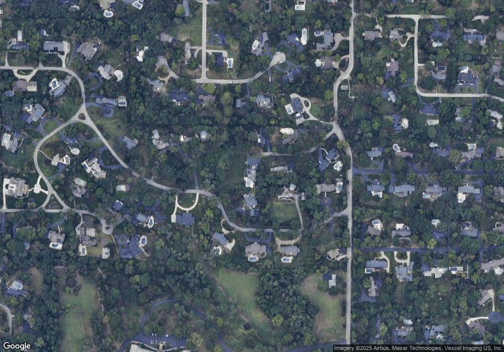
Map
Nearby Homes
- 3 Countryside Ln
- 1741 Pine Hill Dr
- 436 Tregaron Place
- 41 Manderleigh Estates Ct
- 152 Frontenac Forest
- 26 Huntleigh Woods
- 11814 Claychester Dr
- 1534 Woodgate Dr
- 1673 Frontenac Woods Ln
- 19 W Point Ln
- 11712 Westham Dr
- TBB
- TBB Ballas Ridge Hawthorne II
- TBB Ballas Ridge Westchester IV
- TBB Ballas Ridge Roclare II
- 1139 Enclave Ct
- TBB
- 1131 Enclave Ct
- 2056 N Ballas Rd
- 2062 N Ballas Rd
- 10 Countryside Ln
- 8 Fox Run Ln
- 6 Fox Run Ln
- 5 Countryside Ln
- 7 Fox Run Ln
- 11 Countryside Ln
- 7 Countryside Ln
- 11230 Hermitage Hill Place
- 12 Countryside Ln
- 6 Countryside Ln
- 11216 Hermitage Hill Place
- 11242 Hermitage Hill Place
- 2247 N Geyer Rd
- 13 Countryside Ln
- 1 Fox Run Ln
- 2 Countryside Ln
- 4 Countryside Ln
- 11254 Hermitage Hill Place
- 0 Palm Lot 4
- 2249 N Geyer Rd