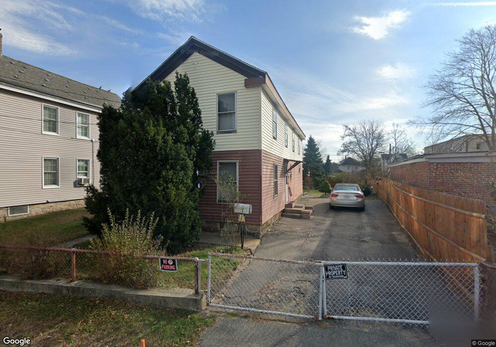
9 Front St Lawrence, MA 01843
South West NeighborhoodEstimated Value: $426,000 - $484,000
3
Beds
2
Baths
1,126
Sq Ft
$408/Sq Ft
Est. Value
About This Home
This home is located at 9 Front St, Lawrence, MA 01843 and is currently estimated at $459,095, approximately $407 per square foot. 9 Front St is a home located in Essex County with nearby schools including John Breen School, Emily G. Wetherbee School (K-8), and School For Exceptional Studies.
Ownership History
Date
Name
Owned For
Owner Type
Purchase Details
Closed on
Dec 15, 2017
Sold by
Ducheneau Paul R
Bought by
Ducheneau Paul R and Roy John J
Current Estimated Value
Purchase Details
Closed on
Aug 18, 1980
Bought by
Ducheneau Paul and Ducheneau Janet I
Create a Home Valuation Report for This Property
The Home Valuation Report is an in-depth analysis detailing your home's value as well as a comparison with similar homes in the area
Home Values in the Area
Average Home Value in this Area
Purchase History
| Date | Buyer | Sale Price | Title Company |
|---|---|---|---|
| Ducheneau Paul R | -- | -- | |
| Ducheneau Paul | -- | -- |
Source: Public Records
Mortgage History
| Date | Status | Borrower | Loan Amount |
|---|---|---|---|
| Previous Owner | Ducheneau Paul | $36,000 | |
| Previous Owner | Ducheneau Paul | $20,000 | |
| Previous Owner | Ducheneau Paul | $65,000 | |
| Previous Owner | Ducheneau Paul | $81,000 |
Source: Public Records
Tax History
| Year | Tax Paid | Tax Assessment Tax Assessment Total Assessment is a certain percentage of the fair market value that is determined by local assessors to be the total taxable value of land and additions on the property. | Land | Improvement |
|---|---|---|---|---|
| 2025 | $3,256 | $370,000 | $111,400 | $258,600 |
| 2024 | $3,106 | $335,800 | $120,600 | $215,200 |
| 2023 | $3,202 | $315,200 | $111,900 | $203,300 |
| 2022 | $3,005 | $262,700 | $101,400 | $161,300 |
| 2021 | $2,933 | $239,000 | $101,400 | $137,600 |
| 2020 | $2,708 | $217,900 | $96,100 | $121,800 |
| 2019 | $2,709 | $198,000 | $79,900 | $118,100 |
| 2018 | $2,485 | $173,500 | $75,700 | $97,800 |
| 2017 | $2,422 | $157,900 | $71,500 | $86,400 |
| 2016 | $2,266 | $146,100 | $58,800 | $87,300 |
| 2015 | $2,209 | $146,100 | $58,800 | $87,300 |
Source: Public Records
Map
Nearby Homes
- 49 Bowdoin St Unit 51
- 91-93 Newton St
- 82 S Broadway
- 33-35 Coolidge St
- 31 Garfield St
- 87-87A Brookfield St
- 543 Andover St Unit 6
- 341 S Broadway- Parcel II
- 24 Inman St Unit 6
- 24 Inman St Unit 4
- 27-29 Dorchester St
- 11 W Hawley St
- 100 Bailey St Unit 1
- 100 Bailey St Unit 3
- 46-46A Dorchester St
- 356-360 S Union St
- 151-153 Bailey St
- 161-167 S Union St
- 37 Tewksbury St Unit 39
- 183 Farnham St Unit 189
- 57 Front St
- 15 Front St Unit 17
- 191 S Broadway
- 191-193 S Broadway
- 21 Front St
- 27 Front St
- 29 Front St
- 410 Andover St
- 19 Ellis St
- 17 Ellis St
- 399 Andover St Unit 401
- 206 S Broadway
- 208-214 S Broadway
- 403 Andover St
- 4 Atkinson St
- 21 Ellis St
- 409 Andover St Unit 411
- 18 Ellis St Unit 20
- 18 Ellis St Unit 2
- 6 Atkinson St
Your Personal Tour Guide
Ask me questions while you tour the home.