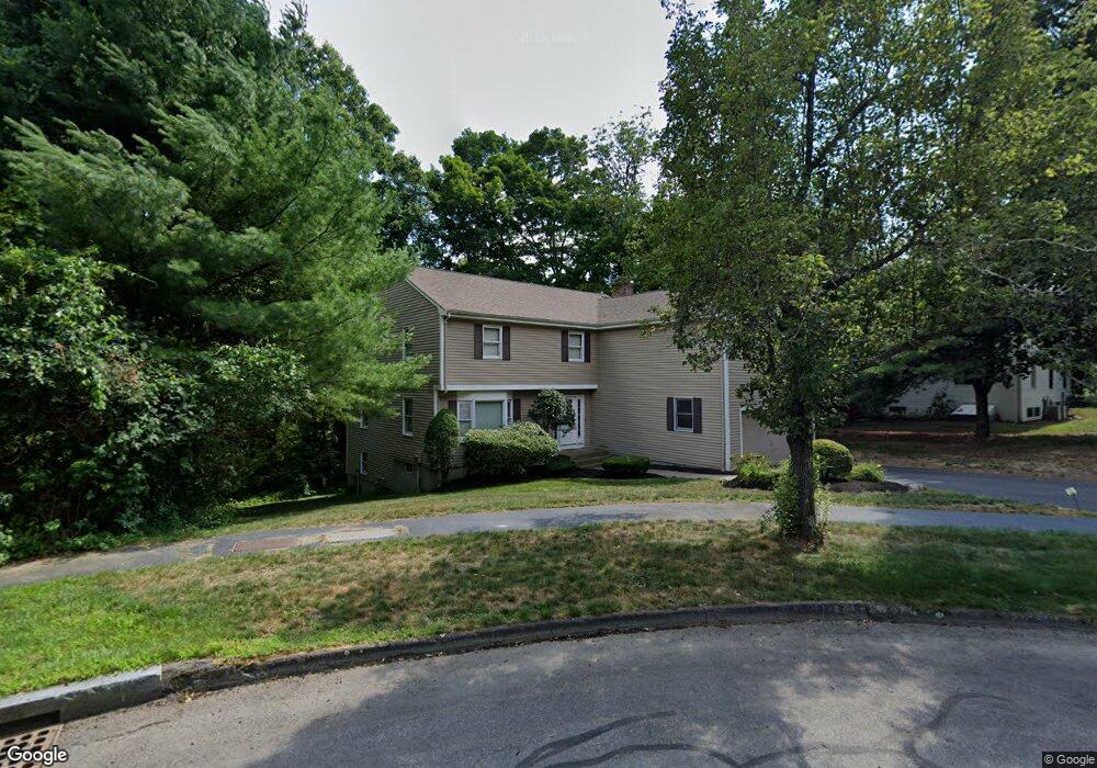
9 Frost Cir Wellesley, MA 02482
Estimated Value: $1,800,000 - $1,963,000
5
Beds
4
Baths
2,813
Sq Ft
$674/Sq Ft
Est. Value
About This Home
This home is located at 9 Frost Cir, Wellesley, MA 02482 and is currently estimated at $1,896,516, approximately $674 per square foot. 9 Frost Cir is a home located in Norfolk County with nearby schools including John D. Hardy Elementary School, Wellesley Middle School, and Wellesley Sr High School.
Ownership History
Date
Name
Owned For
Owner Type
Purchase Details
Closed on
Apr 29, 2013
Sold by
Ho Joseph S and Ho Julie L
Bought by
Ho Kenneth Y and Thoe Willine
Current Estimated Value
Home Financials for this Owner
Home Financials are based on the most recent Mortgage that was taken out on this home.
Original Mortgage
$480,000
Outstanding Balance
$342,565
Interest Rate
3.64%
Mortgage Type
New Conventional
Estimated Equity
$1,553,951
Create a Home Valuation Report for This Property
The Home Valuation Report is an in-depth analysis detailing your home's value as well as a comparison with similar homes in the area
Home Values in the Area
Average Home Value in this Area
Purchase History
| Date | Buyer | Sale Price | Title Company |
|---|---|---|---|
| Ho Kenneth Y | $850,000 | -- | |
| Ho Kenneth Y | $850,000 | -- |
Source: Public Records
Mortgage History
| Date | Status | Borrower | Loan Amount |
|---|---|---|---|
| Open | Ho Kenneth Y | $480,000 | |
| Closed | Ho Kenneth Y | $480,000 |
Source: Public Records
Tax History Compared to Growth
Tax History
| Year | Tax Paid | Tax Assessment Tax Assessment Total Assessment is a certain percentage of the fair market value that is determined by local assessors to be the total taxable value of land and additions on the property. | Land | Improvement |
|---|---|---|---|---|
| 2025 | $15,060 | $1,465,000 | $1,003,000 | $462,000 |
| 2024 | $14,085 | $1,353,000 | $908,000 | $445,000 |
| 2023 | $13,923 | $1,216,000 | $812,000 | $404,000 |
| 2022 | $12,159 | $1,041,000 | $632,000 | $409,000 |
| 2021 | $12,232 | $1,041,000 | $632,000 | $409,000 |
| 2020 | $12,034 | $1,041,000 | $632,000 | $409,000 |
| 2019 | $12,044 | $1,041,000 | $632,000 | $409,000 |
| 2018 | $11,950 | $1,000,000 | $606,000 | $394,000 |
| 2017 | $11,790 | $1,000,000 | $606,000 | $394,000 |
| 2016 | $11,546 | $976,000 | $596,000 | $380,000 |
| 2015 | $10,947 | $947,000 | $566,000 | $381,000 |
Source: Public Records
Map
Nearby Homes
- 9 Frost Cir
- 10 S Woodside Ave
- 12 S Woodside Ave
- 11 Frost Cir
- 12 Frost Cir
- 8 Frost Cir
- 14 S Woodside Ave
- 13 Frost Cir
- 6 Frost Cir
- 15 S Woodside Ave
- 18 Ottaway Cir
- 3 Frost Cir
- 68 Beechwood Rd
- 4 Frost Cir
- 16 S Woodside Ave
- 74 Beechwood Rd
- 25 S Woodside Ave
- 82 Beechwood Rd
- 82 Beechwood Rd Unit 1
- 18 S Woodside Ave