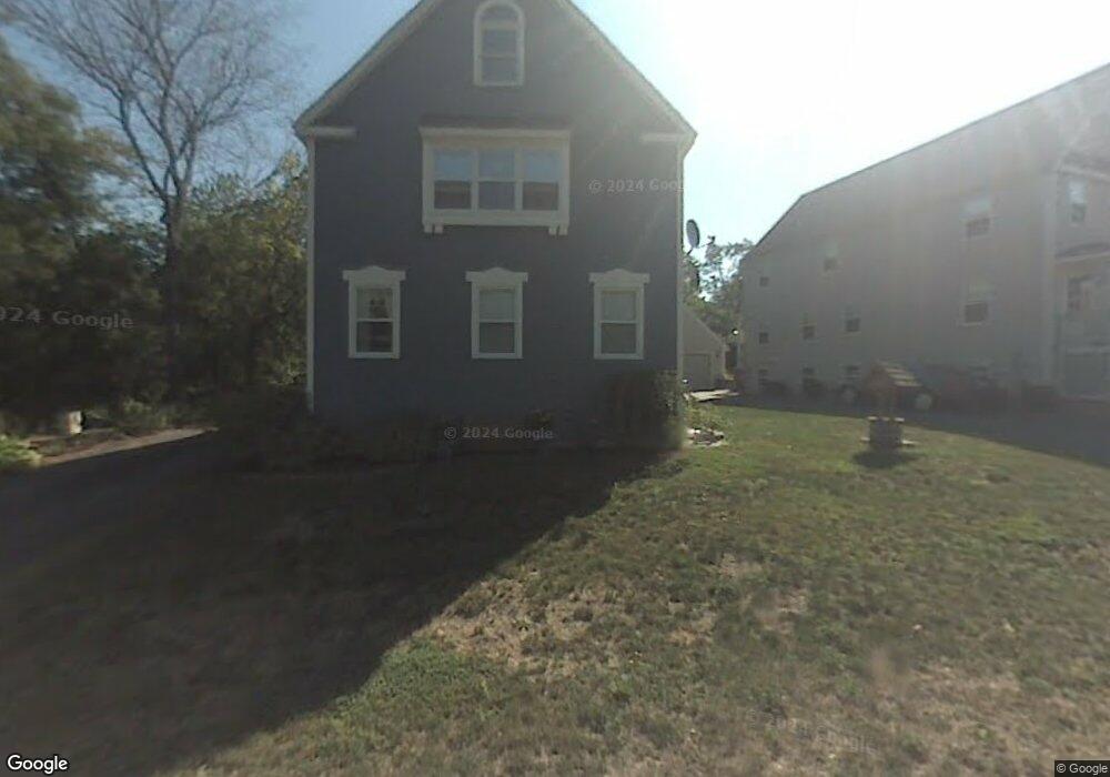
9 Fuller Ln Concord, MA 01742
Estimated Value: $368,044 - $1,041,000
3
Beds
2
Baths
2,121
Sq Ft
$285/Sq Ft
Est. Value
About This Home
This home is located at 9 Fuller Ln, Concord, MA 01742 and is currently estimated at $605,261, approximately $285 per square foot. 9 Fuller Ln is a home located in Middlesex County with nearby schools including Alcott Elementary School, Concord Middle School, and Tremont School.
Ownership History
Date
Name
Owned For
Owner Type
Purchase Details
Closed on
Feb 20, 2025
Sold by
Mickle M J
Bought by
Mickle M J M and Mickle Meghan J
Current Estimated Value
Purchase Details
Closed on
Aug 27, 1998
Sold by
Virginia Rd Rt and Conant Peter M
Bought by
Mickle M Jean
Home Financials for this Owner
Home Financials are based on the most recent Mortgage that was taken out on this home.
Original Mortgage
$89,500
Interest Rate
6.9%
Mortgage Type
Purchase Money Mortgage
Create a Home Valuation Report for This Property
The Home Valuation Report is an in-depth analysis detailing your home's value as well as a comparison with similar homes in the area
Home Values in the Area
Average Home Value in this Area
Purchase History
| Date | Buyer | Sale Price | Title Company |
|---|---|---|---|
| Mickle M J M | -- | None Available | |
| Mickle M J M | -- | None Available | |
| Mickle M Jean | $94,500 | -- | |
| Mickle M Jean | $94,500 | -- |
Source: Public Records
Mortgage History
| Date | Status | Borrower | Loan Amount |
|---|---|---|---|
| Previous Owner | Mickle M Jean | $89,500 |
Source: Public Records
Tax History Compared to Growth
Tax History
| Year | Tax Paid | Tax Assessment Tax Assessment Total Assessment is a certain percentage of the fair market value that is determined by local assessors to be the total taxable value of land and additions on the property. | Land | Improvement |
|---|---|---|---|---|
| 2025 | $3,447 | $259,923 | $0 | $259,923 |
| 2024 | $3,074 | $234,132 | $0 | $234,132 |
| 2023 | $2,648 | $204,352 | $0 | $204,352 |
| 2022 | $2,888 | $195,676 | $0 | $195,676 |
| 2021 | $2,735 | $185,775 | $0 | $185,775 |
| 2020 | $2,561 | $179,958 | $0 | $179,958 |
| 2019 | $2,558 | $180,300 | $0 | $180,300 |
| 2018 | $2,362 | $165,300 | $0 | $165,300 |
| 2017 | $1,330 | $94,500 | $0 | $94,500 |
| 2016 | $1,315 | $94,500 | $0 | $94,500 |
| 2015 | $1,350 | $94,500 | $0 | $94,500 |
Source: Public Records
Map
Nearby Homes
- 241 Shadyside Ave
- 5 South Commons Unit D
- 36 Indian Camp Ln Unit D
- 29 S Commons Unit D
- 6 Parker Rd
- 7 Blue Heron Way
- 644 Old Bedford Rd
- 28 Hatch Farm Ln
- 16 Hatch Farm Ln
- 10 Hatch Farm Ln
- 86 Butternut Cir
- 25 Glenridge Dr
- 22 Selfridge Rd
- 16 Old Cambridge Turnpike
- 646 Cambridge Turnpike
- 22 Old Cambridge Turnpike
- 58 Peter Spring Rd
- 5 Clark Rd
- 96 Independence Rd
- 39 Neillian St Unit 39