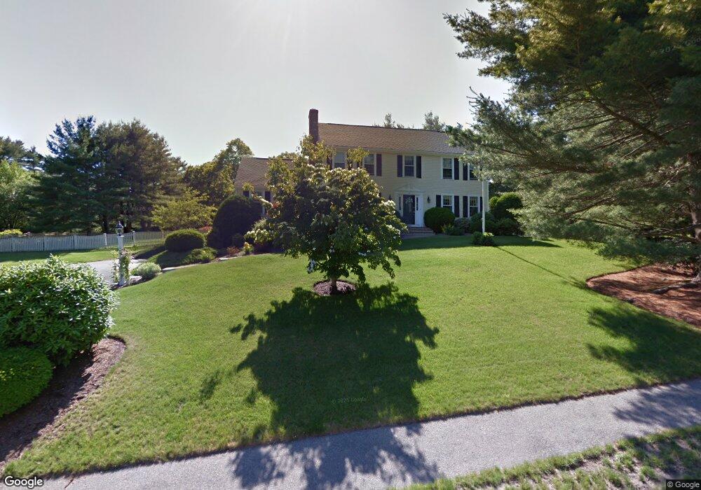
9 Hearthstone Way Hanover, MA 02339
Estimated Value: $1,008,120 - $1,105,000
4
Beds
3
Baths
2,708
Sq Ft
$387/Sq Ft
Est. Value
About This Home
This home is located at 9 Hearthstone Way, Hanover, MA 02339 and is currently estimated at $1,048,780, approximately $387 per square foot. 9 Hearthstone Way is a home located in Plymouth County with nearby schools including Hanover High School, Cadence Academy Preschool - Hanover, and The Master's Academy.
Ownership History
Date
Name
Owned For
Owner Type
Purchase Details
Closed on
May 4, 2017
Sold by
Maguire Joan
Bought by
9 Hearthstone Way Rt
Current Estimated Value
Purchase Details
Closed on
Oct 15, 2012
Sold by
Maguire Paul J and Maguire Joan M
Bought by
Maguire Joan
Home Financials for this Owner
Home Financials are based on the most recent Mortgage that was taken out on this home.
Original Mortgage
$90,000
Interest Rate
3.59%
Mortgage Type
New Conventional
Purchase Details
Closed on
Jun 9, 1986
Bought by
Maguire Joan M
Create a Home Valuation Report for This Property
The Home Valuation Report is an in-depth analysis detailing your home's value as well as a comparison with similar homes in the area
Home Values in the Area
Average Home Value in this Area
Purchase History
| Date | Buyer | Sale Price | Title Company |
|---|---|---|---|
| 9 Hearthstone Way Rt | -- | -- | |
| Maguire Joan | -- | -- | |
| Maguire Joan M | $259,000 | -- |
Source: Public Records
Mortgage History
| Date | Status | Borrower | Loan Amount |
|---|---|---|---|
| Previous Owner | Maguire Joan M | $100,000 | |
| Previous Owner | Maguire Joan | $90,000 | |
| Previous Owner | Maguire Joan M | $210,000 | |
| Previous Owner | Maguire Joan M | $200,000 |
Source: Public Records
Tax History
| Year | Tax Paid | Tax Assessment Tax Assessment Total Assessment is a certain percentage of the fair market value that is determined by local assessors to be the total taxable value of land and additions on the property. | Land | Improvement |
|---|---|---|---|---|
| 2025 | $11,637 | $942,300 | $324,100 | $618,200 |
| 2024 | $11,343 | $883,400 | $324,100 | $559,300 |
| 2023 | $11,011 | $816,200 | $294,600 | $521,600 |
| 2022 | $10,980 | $720,000 | $257,800 | $462,200 |
| 2021 | $5,568 | $671,000 | $234,300 | $436,700 |
| 2020 | $10,636 | $652,100 | $234,300 | $417,800 |
| 2019 | $10,452 | $636,900 | $245,400 | $391,500 |
| 2018 | $7,348 | $610,900 | $256,600 | $354,300 |
| 2017 | $9,857 | $596,700 | $253,300 | $343,400 |
| 2016 | $9,546 | $566,200 | $230,300 | $335,900 |
| 2015 | $9,144 | $566,200 | $230,300 | $335,900 |
Source: Public Records
Map
Nearby Homes
- 168 Larchmont Ln
- 62 Larchmont Ln
- 53 Chestnut St
- 506 Main St
- 68 East St
- 776 Main St
- 33 1st Parish Ln
- 44 Stone Meadow Ln
- 47 Stone Meadow Ln
- 36 Grove St
- 250 Center St
- 535 Webster St
- 51 Cervelli Farm Dr
- 37 Dr
- 23 Cervelli Farm Dr
- 38 Cervelli Farm Dr
- 9 Cervelli Farm Dr
- 46 Brookwood Rd
- 164 Main St
- 35 Sproul Rd
Your Personal Tour Guide
Ask me questions while you tour the home.