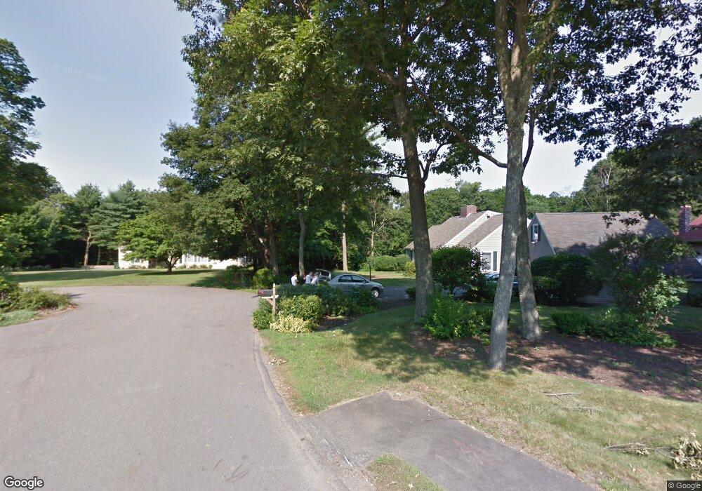
9 Hedgerow Ln Westwood, MA 02090
Estimated Value: $2,704,000 - $3,073,000
4
Beds
3
Baths
4,071
Sq Ft
$714/Sq Ft
Est. Value
About This Home
This home is located at 9 Hedgerow Ln, Westwood, MA 02090 and is currently estimated at $2,906,512, approximately $713 per square foot. 9 Hedgerow Ln is a home located in Norfolk County with nearby schools including Westwood High School, St Catherine Of Siena School, and Xaverian Brothers High School.
Ownership History
Date
Name
Owned For
Owner Type
Purchase Details
Closed on
Apr 29, 2021
Sold by
Canton Street Rt
Bought by
Daniel Kazachkov 2020 Ret
Current Estimated Value
Home Financials for this Owner
Home Financials are based on the most recent Mortgage that was taken out on this home.
Original Mortgage
$1,400,000
Outstanding Balance
$1,264,030
Interest Rate
3%
Mortgage Type
Purchase Money Mortgage
Estimated Equity
$1,642,482
Purchase Details
Closed on
Dec 19, 2016
Sold by
Hedgerow Lane Rt and Spiegel
Bought by
Canton Street Rt and Spiegel
Home Financials for this Owner
Home Financials are based on the most recent Mortgage that was taken out on this home.
Original Mortgage
$4,000,000
Interest Rate
3.54%
Mortgage Type
Purchase Money Mortgage
Purchase Details
Closed on
Feb 29, 2016
Sold by
Powers 3Rd John W and Powers Dorothy A
Bought by
Hedgerow Lane Rt
Purchase Details
Closed on
Aug 15, 2003
Sold by
Silva Francisco C
Bought by
Powers John W and Powers Dorothy A
Purchase Details
Closed on
May 10, 2002
Sold by
Lee Yong C
Bought by
Silva Francisco C
Create a Home Valuation Report for This Property
The Home Valuation Report is an in-depth analysis detailing your home's value as well as a comparison with similar homes in the area
Home Values in the Area
Average Home Value in this Area
Purchase History
| Date | Buyer | Sale Price | Title Company |
|---|---|---|---|
| Daniel Kazachkov 2020 Ret | $2,200,000 | None Available | |
| Canton Street Rt | -- | -- | |
| Hedgerow Lane Rt | $1,025,000 | -- | |
| Powers John W | $739,000 | -- | |
| Silva Francisco C | $670,000 | -- | |
| Canton Street Rt | -- | -- | |
| Powers John W | $739,000 | -- | |
| Silva Francisco C | $670,000 | -- |
Source: Public Records
Mortgage History
| Date | Status | Borrower | Loan Amount |
|---|---|---|---|
| Open | Daniel Kazachkov 2020 Ret | $1,400,000 | |
| Previous Owner | Canton Street Rt | $4,000,000 | |
| Previous Owner | Canton Street Rt | $929,595 |
Source: Public Records
Tax History Compared to Growth
Tax History
| Year | Tax Paid | Tax Assessment Tax Assessment Total Assessment is a certain percentage of the fair market value that is determined by local assessors to be the total taxable value of land and additions on the property. | Land | Improvement |
|---|---|---|---|---|
| 2025 | $32,836 | $2,563,300 | $664,000 | $1,899,300 |
| 2024 | $32,836 | $2,563,300 | $664,000 | $1,899,300 |
| 2023 | $34,786 | $2,432,600 | $556,500 | $1,876,100 |
| 2022 | $19,132 | $1,290,100 | $139,400 | $1,150,700 |
| 2021 | $1,960 | $132,600 | $132,600 | $0 |
| 2020 | $1,924 | $132,600 | $132,600 | $0 |
| 2019 | $1,855 | $126,600 | $126,600 | $0 |
| 2018 | $1,910 | $126,600 | $126,600 | $0 |
| 2017 | $12,811 | $879,300 | $421,600 | $457,700 |
| 2016 | $12,579 | $858,050 | $421,600 | $436,450 |
| 2015 | $12,154 | $797,500 | $421,600 | $375,900 |
Source: Public Records
Map
Nearby Homes
- 507 Everett St
- 139 Porter St
- 355 Canton St
- 19 Cushing Rd
- 87 Whitewood Rd
- 243 Weatherbee Dr
- 215 Blue Hill Dr
- 120 University Ave Unit 2308
- 130 University Ave Unit 1405
- 360 Blue Hill Dr
- 102 Smith Dr
- 187 Vincent Rd
- 34 Cranberry Ln
- 88 Fox Meadow Ln
- 24 Overlook Ave
- 290 East St
- 21 Birch St
- 29 S Gate St
- 51 Hawthorn St
- 301 Neponset St Unit 25