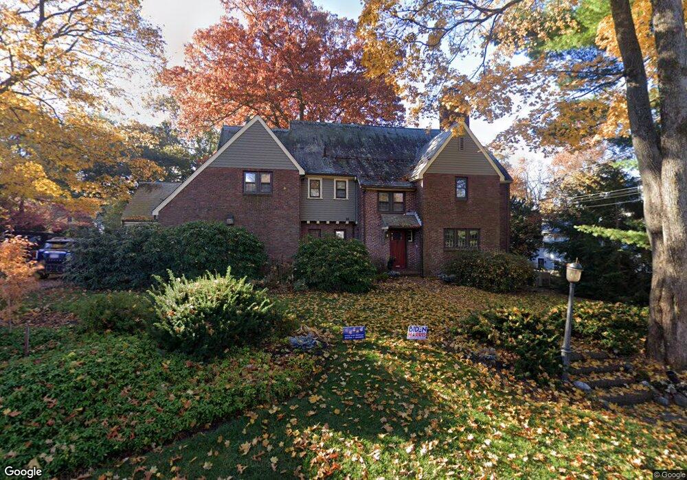
9 Herrick St Winchester, MA 01890
Estimated Value: $2,573,000 - $2,793,000
5
Beds
5
Baths
4,646
Sq Ft
$577/Sq Ft
Est. Value
About This Home
This home is located at 9 Herrick St, Winchester, MA 01890 and is currently estimated at $2,678,719, approximately $576 per square foot. 9 Herrick St is a home located in Middlesex County with nearby schools including Lincoln Elementary School, McCall Middle School, and Winchester High School.
Ownership History
Date
Name
Owned For
Owner Type
Purchase Details
Closed on
Mar 18, 2005
Sold by
Rowan Tr Faustina M and Rowan George P
Bought by
Foote Caroline B and Breckwoldt William L
Current Estimated Value
Home Financials for this Owner
Home Financials are based on the most recent Mortgage that was taken out on this home.
Original Mortgage
$600,000
Outstanding Balance
$300,725
Interest Rate
5.64%
Mortgage Type
Purchase Money Mortgage
Estimated Equity
$2,377,994
Create a Home Valuation Report for This Property
The Home Valuation Report is an in-depth analysis detailing your home's value as well as a comparison with similar homes in the area
Home Values in the Area
Average Home Value in this Area
Purchase History
| Date | Buyer | Sale Price | Title Company |
|---|---|---|---|
| Foote Caroline B | $1,390,200 | -- |
Source: Public Records
Mortgage History
| Date | Status | Borrower | Loan Amount |
|---|---|---|---|
| Open | Foote Caroline B | $600,000 |
Source: Public Records
Tax History Compared to Growth
Tax History
| Year | Tax Paid | Tax Assessment Tax Assessment Total Assessment is a certain percentage of the fair market value that is determined by local assessors to be the total taxable value of land and additions on the property. | Land | Improvement |
|---|---|---|---|---|
| 2025 | $27,072 | $2,441,100 | $1,361,400 | $1,079,700 |
| 2024 | $26,328 | $2,323,700 | $1,321,400 | $1,002,300 |
| 2023 | $24,848 | $2,105,800 | $1,241,400 | $864,400 |
| 2022 | $24,326 | $1,944,500 | $1,121,200 | $823,300 |
| 2021 | $6,474 | $1,804,500 | $981,200 | $823,300 |
| 2020 | $22,358 | $1,804,500 | $981,200 | $823,300 |
| 2019 | $4,645 | $1,684,500 | $861,200 | $823,300 |
| 2018 | $20,039 | $1,643,900 | $841,200 | $802,700 |
| 2017 | $19,330 | $1,574,100 | $800,200 | $773,900 |
| 2016 | $18,098 | $1,549,500 | $800,200 | $749,300 |
| 2015 | $17,724 | $1,460,000 | $727,200 | $732,800 |
| 2014 | $17,644 | $1,393,700 | $661,200 | $732,500 |
Source: Public Records
Map
Nearby Homes
- 30 Prospect St
- 8 Felsdale Close
- 5 Bacon St
- 77A Brooks St
- 446 Highland Ave
- 53 Bacon St
- 46 Church St
- 9 Lakeview Terrace
- 2 Everett Ave
- 39 Town Way
- 36 Elmwood Ave Unit 2
- 19 Town Way
- 19 Glengarry Rd
- 666 Main St Unit 312
- 666 Main St Unit 315
- 209 Washington St
- 13 Nelson St
- 26 North Gateway
- 6 Wyman Ct Unit 6
- 4 Wyman Ct Unit 4