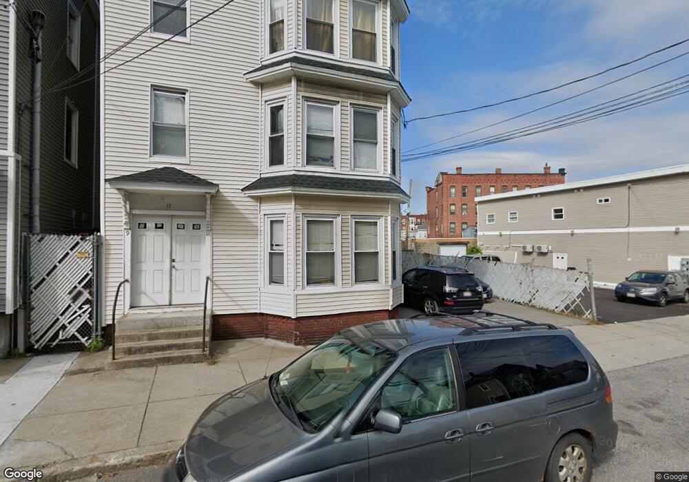
9 High St Unit 11 Haverhill, MA 01832
Mount Washington NeighborhoodEstimated Value: $665,000 - $772,000
6
Beds
3
Baths
2,970
Sq Ft
$236/Sq Ft
Est. Value
About This Home
This home is located at 9 High St Unit 11, Haverhill, MA 01832 and is currently estimated at $701,667, approximately $236 per square foot. 9 High St Unit 11 is a home located in Essex County with nearby schools including Tilton Elementary School.
Ownership History
Date
Name
Owned For
Owner Type
Purchase Details
Closed on
Mar 22, 2011
Sold by
Jimenez Martin
Bought by
Guerra Angela
Current Estimated Value
Home Financials for this Owner
Home Financials are based on the most recent Mortgage that was taken out on this home.
Original Mortgage
$155,944
Outstanding Balance
$107,401
Interest Rate
4.84%
Mortgage Type
Purchase Money Mortgage
Estimated Equity
$594,266
Purchase Details
Closed on
Dec 20, 2004
Sold by
Rodriguez Jose R
Bought by
Jimenez Martin O
Purchase Details
Closed on
Aug 4, 1998
Sold by
Wurlwind T
Bought by
Rodriguez Kikia
Purchase Details
Closed on
Dec 1, 1993
Sold by
Lawson Marie C and Ouellette Norman
Bought by
Wurlwind T T and Wurlwind Gordan
Create a Home Valuation Report for This Property
The Home Valuation Report is an in-depth analysis detailing your home's value as well as a comparison with similar homes in the area
Home Values in the Area
Average Home Value in this Area
Purchase History
| Date | Buyer | Sale Price | Title Company |
|---|---|---|---|
| Guerra Angela | $160,000 | -- | |
| Jimenez Martin O | $336,900 | -- | |
| Rodriguez Kikia | $57,000 | -- | |
| Wurlwind T T | $25,000 | -- |
Source: Public Records
Mortgage History
| Date | Status | Borrower | Loan Amount |
|---|---|---|---|
| Open | Wurlwind T T | $155,944 | |
| Previous Owner | Wurlwind T T | $320,000 | |
| Previous Owner | Wurlwind T T | $31,000 |
Source: Public Records
Tax History Compared to Growth
Tax History
| Year | Tax Paid | Tax Assessment Tax Assessment Total Assessment is a certain percentage of the fair market value that is determined by local assessors to be the total taxable value of land and additions on the property. | Land | Improvement |
|---|---|---|---|---|
| 2025 | $6,773 | $632,400 | $133,000 | $499,400 |
| 2024 | $6,251 | $587,500 | $124,200 | $463,300 |
| 2023 | $6,039 | $541,600 | $124,200 | $417,400 |
| 2022 | $5,729 | $450,400 | $113,800 | $336,600 |
| 2021 | $5,372 | $399,700 | $97,600 | $302,100 |
| 2020 | $5,157 | $379,200 | $93,100 | $286,100 |
| 2019 | $4,804 | $344,400 | $81,300 | $263,100 |
| 2018 | $4,586 | $321,600 | $76,900 | $244,700 |
| 2017 | $4,044 | $269,800 | $71,000 | $198,800 |
| 2016 | $3,610 | $235,000 | $62,100 | $172,900 |
| 2015 | -- | $219,000 | $62,100 | $156,900 |
Source: Public Records
Map
Nearby Homes
- 40 Bellevue Ave Unit 42
- 97-99 Blaisdell St Unit 2
- 99 Blaisdell St Unit C
- 23 Lewis St
- 80 Wingate St Unit 4C
- 80 Wingate St Unit 3C
- 80 Wingate St Unit 2F
- 2 Washington St
- 2 Washington St Unit 201
- 18-22 Essex St Unit 22
- 8 Victoria Ct
- 52-58 Washington St Unit BC
- 19 Washington St Unit 2
- 19 Washington St Unit 5
- 134 High St
- 24 Washington St Unit 402
- 335 Washington St Unit 335
- 72 River St Unit 7
- 72 River St Unit 10
- 72 River St Unit 6
- 6 Lafayette Square
- 2 Lafayette Square Unit 6
- 2 Lafayette Square Unit 8
- 2 Lafayette Square
- LOT 12 Hilldale Ave
- 13 High St Unit 201
- 13 High St Unit 101
- 13 High St Unit 102
- 13 High St Unit 401
- 13 High St Unit 2R
- 13 High St Unit 1
- 13 High St Unit 3
- 13 High St Unit 2
- 13 High St
- 13 High St Unit 301
- 13 High St Unit 203
- 13 High St Unit 202
- 12 Hillside St
- 17 High St
- 14 Hillside St