9 Highfield Ln Belfast, ME 04915
Estimated Value: $333,000 - $591,000
2
Beds
2
Baths
1,442
Sq Ft
$306/Sq Ft
Est. Value
About This Home
This home is located at 9 Highfield Ln, Belfast, ME 04915 and is currently estimated at $440,697, approximately $305 per square foot. 9 Highfield Ln is a home with nearby schools including Cornerspring Children's House and The School At Sweetser - Belfast.
Ownership History
Date
Name
Owned For
Owner Type
Purchase Details
Closed on
Dec 21, 2023
Sold by
Kalinowski Leonard E and Kalinowski Deanne L
Bought by
L E Kalinowski Jr Lt and Kalinowski
Current Estimated Value
Purchase Details
Closed on
Jul 19, 2011
Sold by
Bailey James F and Bailey Gwen P
Bought by
Kalinowski Leonard E and Kalinowski Deanne L
Create a Home Valuation Report for This Property
The Home Valuation Report is an in-depth analysis detailing your home's value as well as a comparison with similar homes in the area
Home Values in the Area
Average Home Value in this Area
Purchase History
| Date | Buyer | Sale Price | Title Company |
|---|---|---|---|
| L E Kalinowski Jr Lt | -- | None Available | |
| Kalinowski Leonard E | -- | -- |
Source: Public Records
Tax History Compared to Growth
Tax History
| Year | Tax Paid | Tax Assessment Tax Assessment Total Assessment is a certain percentage of the fair market value that is determined by local assessors to be the total taxable value of land and additions on the property. | Land | Improvement |
|---|---|---|---|---|
| 2024 | $5,618 | $364,800 | $61,000 | $303,800 |
| 2023 | $4,462 | $222,000 | $47,400 | $174,600 |
| 2022 | $4,543 | $212,300 | $47,400 | $164,900 |
| 2021 | $4,671 | $212,300 | $47,400 | $164,900 |
| 2020 | $4,352 | $186,800 | $43,100 | $143,700 |
| 2019 | $4,218 | $184,200 | $43,100 | $141,100 |
| 2018 | $4,068 | $179,200 | $38,100 | $141,100 |
| 2017 | $3,886 | $179,200 | $38,100 | $141,100 |
| 2016 | $2,192 | $184,500 | $35,600 | $148,900 |
| 2015 | $4,133 | $184,500 | $35,600 | $148,900 |
| 2014 | $3,994 | $184,500 | $35,600 | $148,900 |
| 2013 | $3,846 | $184,900 | $36,000 | $148,900 |
Source: Public Records
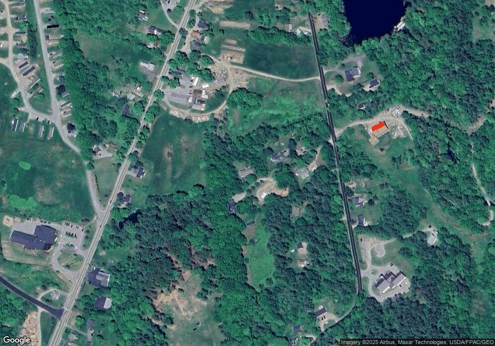
Map
Nearby Homes
- 6 Daniel Dr
- 37 Jacobs Rd
- 2 Swan Lake Ave
- 73 Swan Lake Ave
- 12 Ashley Dr
- 45 Brooke Ave
- 17 Footbridge Rd
- 40 Robbins Rd
- 90 Searsport Ave
- 51 Bridge St
- 1 Miller St
- 0 Patterson Hill Rd Unit Lot 2 1614981
- 0 Robbins Rd Unit 1634953
- 208 High St
- 38 Union St
- 38 Spring St
- 86 High St
- 388 High St
- 394 High St
- 28 Charles St