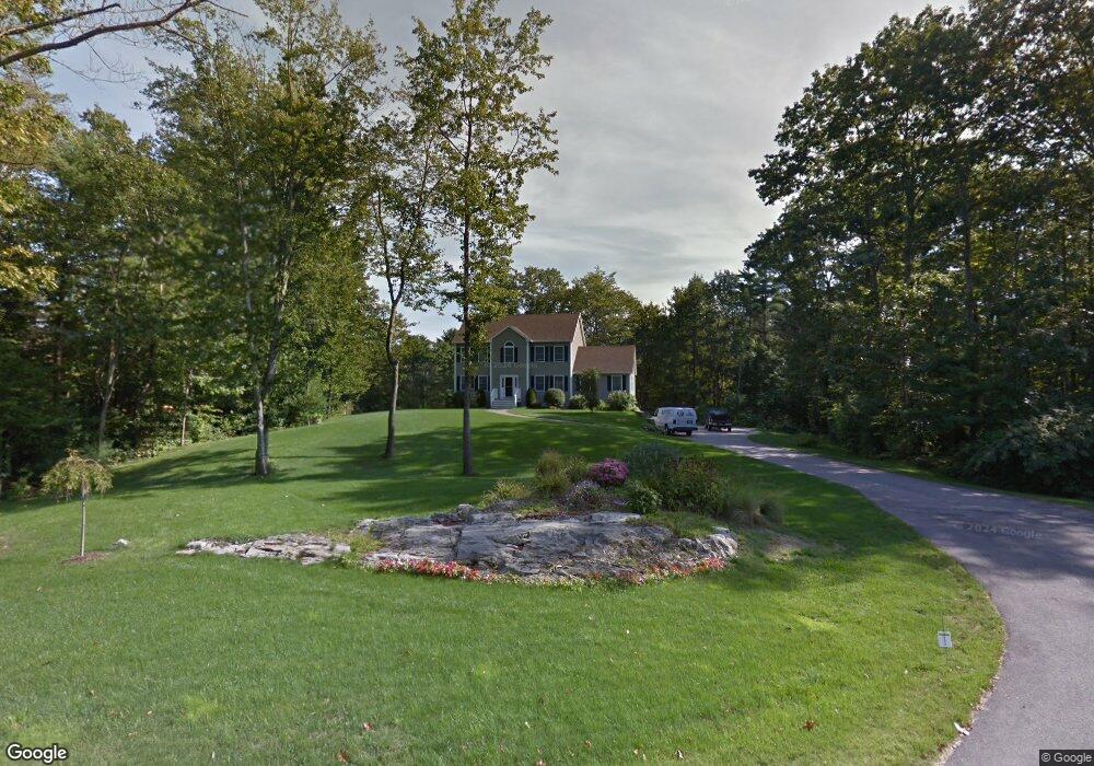
9 Highpointe Cir Kittery, ME 03904
Estimated Value: $788,000 - $941,000
4
Beds
3
Baths
392
Sq Ft
$2,210/Sq Ft
Est. Value
About This Home
This home is located at 9 Highpointe Cir, Kittery, ME 03904 and is currently estimated at $866,310, approximately $2,209 per square foot. 9 Highpointe Cir is a home located in York County with nearby schools including Shapleigh School, Horace Mitchell Primary School, and Robert W Traip Academy.
Ownership History
Date
Name
Owned For
Owner Type
Purchase Details
Closed on
Nov 28, 2005
Sold by
Good House Const Co Llc
Bought by
Dean Debra A and Dean Dennis A
Current Estimated Value
Home Financials for this Owner
Home Financials are based on the most recent Mortgage that was taken out on this home.
Original Mortgage
$445,293
Outstanding Balance
$125,114
Interest Rate
6.06%
Mortgage Type
Unknown
Estimated Equity
$741,196
Create a Home Valuation Report for This Property
The Home Valuation Report is an in-depth analysis detailing your home's value as well as a comparison with similar homes in the area
Home Values in the Area
Average Home Value in this Area
Purchase History
| Date | Buyer | Sale Price | Title Company |
|---|---|---|---|
| Dean Debra A | -- | -- |
Source: Public Records
Mortgage History
| Date | Status | Borrower | Loan Amount |
|---|---|---|---|
| Open | Dean Debra A | $445,293 |
Source: Public Records
Tax History Compared to Growth
Tax History
| Year | Tax Paid | Tax Assessment Tax Assessment Total Assessment is a certain percentage of the fair market value that is determined by local assessors to be the total taxable value of land and additions on the property. | Land | Improvement |
|---|---|---|---|---|
| 2024 | $7,334 | $516,500 | $140,100 | $376,400 |
| 2023 | $7,030 | $516,500 | $140,100 | $376,400 |
| 2022 | $6,962 | $516,500 | $140,100 | $376,400 |
| 2021 | $6,754 | $519,500 | $140,100 | $379,400 |
| 2020 | $6,702 | $519,500 | $140,100 | $379,400 |
| 2019 | $6,603 | $379,500 | $84,300 | $295,200 |
| 2018 | $6,376 | $379,500 | $84,300 | $295,200 |
| 2017 | $6,262 | $379,500 | $84,300 | $295,200 |
| 2016 | $6,091 | $379,500 | $84,300 | $295,200 |
| 2015 | $5,947 | $379,500 | $84,300 | $295,200 |
| 2014 | $5,890 | $379,500 | $84,300 | $295,200 |
| 2013 | $5,776 | $379,500 | $84,300 | $295,200 |
Source: Public Records
Map
Nearby Homes
- 3 Izzy Ln
- 78 Norton Rd Unit 6
- 50 Lewis Rd
- 12 Blueberry Ln
- 20 Washburn Farm Ln Unit 5
- 10 Lewis Rd
- 18 Washburn Farm Ln Unit 4
- 13 Washburn Farm Ln Unit 7
- 25 Bartlett Rd
- 7 Washburn Farm Ln Unit 9
- 2 Washburn Farm Ln Unit 1
- 12 Washburn Farm Ln Unit 3
- 122 Haley Rd
- 299 Haley Rd
- 24 Regency Cir Unit 3
- 3 Sandalwood Cir
- 109 Bartlett Rd
- 2 Woodside Meadow Rd
- 8 Spruce Point Rd
- 7 Blackberry Place
- 7 Highpointe Cir
- 9 Old Farm Rd
- 14 Highpointe Cir
- 14 Highpointe Cir
- 11 Highpointe Cir
- 12 Highpointe Cir
- 12 Highpointe Cir
- 7 Old Farm Rd
- 5 Highpointe Cir
- 5 Highpointe Cir
- 6 Old Farm Rd
- 12 Old Farm Rd
- 10 Highpointe Cir
- 7 Quiet Pine Ln
- 17 Kittree Ln
- 22 Old Farm Rd
- 103 Norton Rd
- 8 Highpointe Cir
- 8 Highpointe Cir
- 14 Kittree Ln