9 Hillcrest Ave Port Murray, NJ 07865
Washington Township Morris NeighborhoodEstimated Value: $271,421 - $431,000
--
Bed
--
Bath
1,120
Sq Ft
$307/Sq Ft
Est. Value
About This Home
This home is located at 9 Hillcrest Ave, Port Murray, NJ 07865 and is currently estimated at $343,855, approximately $307 per square foot. 9 Hillcrest Ave is a home located in Morris County with nearby schools including Flocktown-Kossmann Elementary School, Long Valley Middle School, and West Morris Central High School.
Ownership History
Date
Name
Owned For
Owner Type
Purchase Details
Closed on
Dec 2, 2004
Sold by
Tate Thomas
Bought by
Dixon Deborah
Current Estimated Value
Purchase Details
Closed on
Nov 10, 2003
Sold by
Roukens Joanne
Bought by
Tate Thomas
Home Financials for this Owner
Home Financials are based on the most recent Mortgage that was taken out on this home.
Original Mortgage
$101,200
Interest Rate
6.03%
Create a Home Valuation Report for This Property
The Home Valuation Report is an in-depth analysis detailing your home's value as well as a comparison with similar homes in the area
Home Values in the Area
Average Home Value in this Area
Purchase History
| Date | Buyer | Sale Price | Title Company |
|---|---|---|---|
| Dixon Deborah | $176,000 | -- | |
| Tate Thomas | $135,000 | -- |
Source: Public Records
Mortgage History
| Date | Status | Borrower | Loan Amount |
|---|---|---|---|
| Previous Owner | Tate Thomas | $101,200 |
Source: Public Records
Tax History Compared to Growth
Tax History
| Year | Tax Paid | Tax Assessment Tax Assessment Total Assessment is a certain percentage of the fair market value that is determined by local assessors to be the total taxable value of land and additions on the property. | Land | Improvement |
|---|---|---|---|---|
| 2025 | $5,283 | $182,100 | $106,200 | $75,900 |
| 2024 | $5,164 | $182,100 | $106,200 | $75,900 |
| 2023 | $5,164 | $182,100 | $106,200 | $75,900 |
| 2022 | $4,525 | $182,100 | $106,200 | $75,900 |
| 2021 | $4,525 | $182,100 | $106,200 | $75,900 |
| 2020 | $4,806 | $182,100 | $106,200 | $75,900 |
| 2019 | $4,756 | $182,100 | $106,200 | $75,900 |
| 2018 | $4,651 | $182,100 | $106,200 | $75,900 |
| 2017 | $4,551 | $182,100 | $106,200 | $75,900 |
| 2016 | $4,412 | $182,100 | $106,200 | $75,900 |
| 2015 | $4,323 | $182,100 | $106,200 | $75,900 |
| 2014 | $4,285 | $182,100 | $106,200 | $75,900 |
Source: Public Records
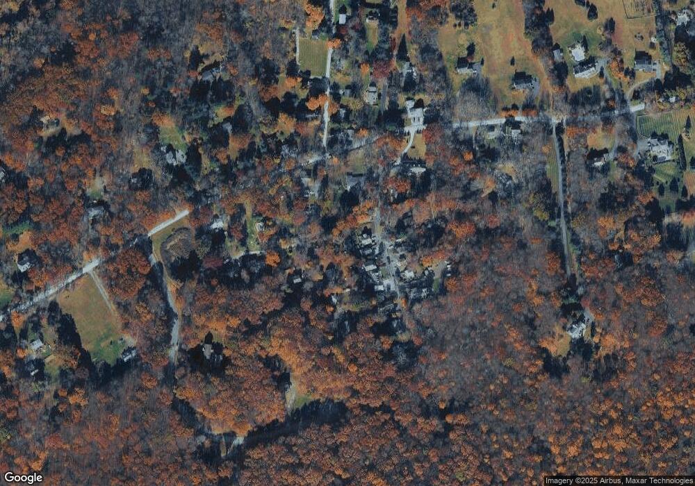
Map
Nearby Homes
- 5 Settlers Ridge Ct
- 7 Settlers Ridge Ct
- 149 Old Turnpike Rd
- 102 Mountain View Ln
- 40 Heiser Rd
- 2 Budd Ln
- 25 Mountain View Ln
- 1404 New Jersey 57
- 19 E Mill Rd
- 1333 New Jersey 57
- 50 Thomas Rd
- 355 Rockport Rd
- 46 48cherry Tree Bend Rd
- 414 Rockport Rd
- 000 Pleasant Grove Rd
- 0 Port Murray Rd Unit 3950462
- 0 Port Murray Rd Unit 3946276
- 0 Port Murray Rd Unit 3951792
- 1 Wilson St
- 1 Heather Ct
- 2 Lawrence Trail
- 4 Lawrence Trail
- 6 Lawrence Trail
- 1 La Bonty Trail
- 3 La Bonty Trail
- 8 Lawrence Trail
- 181 Old Turnpike Rd
- 3 Lawrence Ave
- 3 Lawrence Trail
- 169 Old Turnpike Rd
- 10 Lawrence Trail
- 5 Lawrence Trail
- 5 La Bonty Trail
- 5 La Bonnty Trail
- 6 La Bonnty Trail
- 177 Old Turnpike Rd
- 4 La Bonty Trail
- 7 Lawrence Trail
- 14 Lawrence Trail
- 6 La Bonty Trail