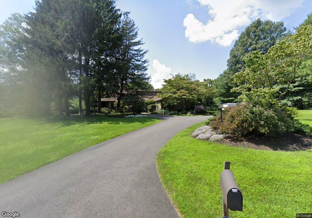
9 Hilltop Rd Kennett Square, PA 19348
Estimated Value: $731,000 - $925,000
3
Beds
3
Baths
2,728
Sq Ft
$302/Sq Ft
Est. Value
About This Home
This home is located at 9 Hilltop Rd, Kennett Square, PA 19348 and is currently estimated at $822,745, approximately $301 per square foot. 9 Hilltop Rd is a home located in Chester County with nearby schools including Kennett Middle School, Kennett High School, and St. Patrick School.
Ownership History
Date
Name
Owned For
Owner Type
Purchase Details
Closed on
Nov 29, 1996
Sold by
Crowe Robert C and Crowe Gwen G
Bought by
Phillips Steven and Phillips Sharon
Current Estimated Value
Home Financials for this Owner
Home Financials are based on the most recent Mortgage that was taken out on this home.
Original Mortgage
$200,000
Outstanding Balance
$20,568
Interest Rate
7.83%
Estimated Equity
$802,177
Create a Home Valuation Report for This Property
The Home Valuation Report is an in-depth analysis detailing your home's value as well as a comparison with similar homes in the area
Home Values in the Area
Average Home Value in this Area
Purchase History
| Date | Buyer | Sale Price | Title Company |
|---|---|---|---|
| Phillips Steven | $312,500 | -- |
Source: Public Records
Mortgage History
| Date | Status | Borrower | Loan Amount |
|---|---|---|---|
| Open | Phillips Steven | $200,000 |
Source: Public Records
Tax History Compared to Growth
Tax History
| Year | Tax Paid | Tax Assessment Tax Assessment Total Assessment is a certain percentage of the fair market value that is determined by local assessors to be the total taxable value of land and additions on the property. | Land | Improvement |
|---|---|---|---|---|
| 2025 | $12,989 | $318,520 | $70,870 | $247,650 |
| 2024 | $12,989 | $318,520 | $70,870 | $247,650 |
| 2023 | $12,737 | $318,520 | $70,870 | $247,650 |
| 2022 | $12,397 | $318,520 | $70,870 | $247,650 |
| 2021 | $12,211 | $318,520 | $70,870 | $247,650 |
| 2020 | $11,982 | $318,520 | $70,870 | $247,650 |
| 2019 | $11,822 | $318,520 | $70,870 | $247,650 |
| 2018 | $11,578 | $318,520 | $70,870 | $247,650 |
| 2017 | $10,769 | $318,520 | $70,870 | $247,650 |
| 2016 | $1,263 | $318,520 | $70,870 | $247,650 |
| 2015 | $1,263 | $318,520 | $70,870 | $247,650 |
| 2014 | $1,263 | $318,520 | $70,870 | $247,650 |
Source: Public Records
Map
Nearby Homes
- 535 Chandler Mill Rd
- 118 Pleasant Bank Ln
- 25 Southridge Dr
- 823 Creek Rd
- 1215 Benjamin Dr
- 1219 Benjamin Dr
- 102 Knoxlyn Farm Dr
- 115 Chandler Mill Rd
- 114 Chandler Mill Rd
- 117 Chandler Mill Rd
- 1025 James Walter Way
- 111 Saint Andrews Dr
- 109 Chandler Mill Rd
- 408 Willowbend Ct
- 606 Parkridge Dr
- 683 Mc Govern Rd
- 747 Morris Rd
- 109 Regency Ct
- 187 E Hillendale Rd
- 757 Auburn Mill Rd
- 7 Hilltop Rd
- 4 Hilltop Rd
- 1 Hilltop Rd
- 5 Hilltop Rd
- 123 Round Hill Rd
- 523 Chandler Mill Rd
- 2 Hilltop Rd
- 3 Hilltop Rd
- 1086 Kaolin Rd
- 125 Round Hill Rd
- 531 Chandler Mill Rd
- 121 Round Hill Rd
- 128 Round Hill Rd
- 1082 Kaolin Rd
- 1084 Kaolin Rd
- 130 Round Hill Rd
- 119 Round Hill Rd
- 127 Round Hill Rd
- 515 Chandler Mill Rd
- 112 Pleasant Bank Ln