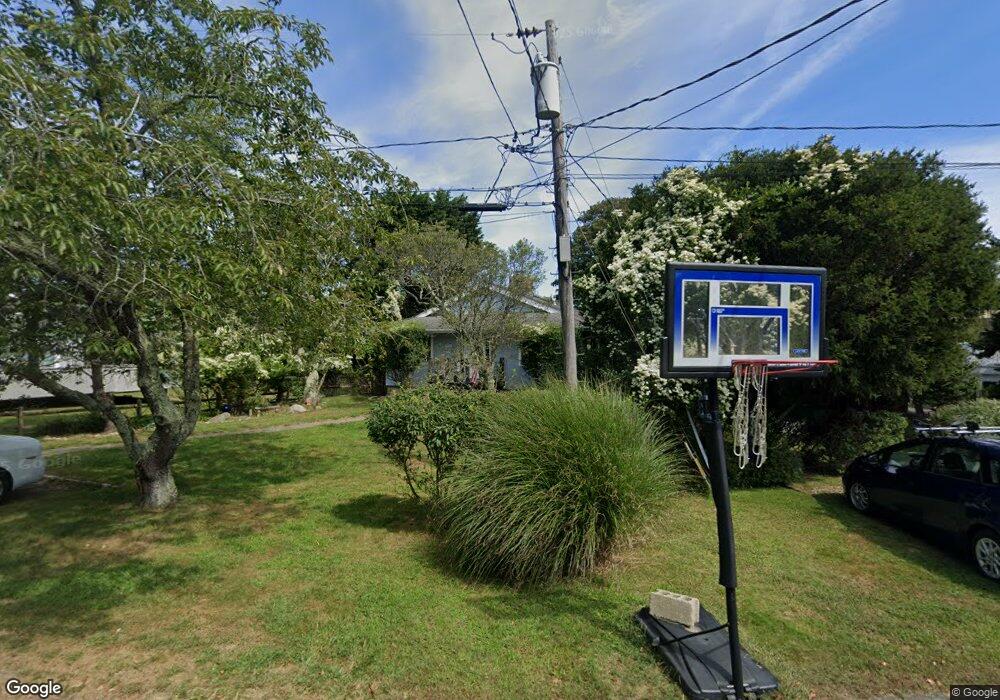
9 Hoyt Place Montauk, NY 11954
Estimated Value: $1,444,000 - $2,676,000
--
Bed
--
Bath
--
Sq Ft
10,019
Sq Ft Lot
About This Home
This home is located at 9 Hoyt Place, Montauk, NY 11954 and is currently estimated at $2,001,737. 9 Hoyt Place is a home located in Suffolk County with nearby schools including Montauk School.
Ownership History
Date
Name
Owned For
Owner Type
Purchase Details
Closed on
Apr 1, 2023
Sold by
Franzone Vincent J and Franzone Joan L
Bought by
Franzone Joan L
Current Estimated Value
Purchase Details
Closed on
Nov 15, 2002
Sold by
Franzone Vincent J and Biernacki Joan L
Bought by
Franzone Vincent J and Franzone Joan L
Home Financials for this Owner
Home Financials are based on the most recent Mortgage that was taken out on this home.
Original Mortgage
$5,422
Interest Rate
5.64%
Mortgage Type
Purchase Money Mortgage
Create a Home Valuation Report for This Property
The Home Valuation Report is an in-depth analysis detailing your home's value as well as a comparison with similar homes in the area
Home Values in the Area
Average Home Value in this Area
Purchase History
| Date | Buyer | Sale Price | Title Company |
|---|---|---|---|
| Franzone Joan L | $445,000 | None Available | |
| Franzone Joan L | $445,000 | None Available | |
| Franzone Vincent J | -- | Washington Title | |
| Franzone Vincent J | -- | Washington Title |
Source: Public Records
Mortgage History
| Date | Status | Borrower | Loan Amount |
|---|---|---|---|
| Previous Owner | Franzone Vincent J | $5,422 |
Source: Public Records
Tax History Compared to Growth
Tax History
| Year | Tax Paid | Tax Assessment Tax Assessment Total Assessment is a certain percentage of the fair market value that is determined by local assessors to be the total taxable value of land and additions on the property. | Land | Improvement |
|---|---|---|---|---|
| 2024 | $5,202 | $5,000 | $400 | $4,600 |
| 2023 | $2,601 | $5,000 | $400 | $4,600 |
| 2022 | $4,193 | $5,000 | $400 | $4,600 |
| 2021 | $4,193 | $5,000 | $400 | $4,600 |
| 2020 | $4,248 | $5,000 | $400 | $4,600 |
| 2019 | $4,248 | $0 | $0 | $0 |
| 2018 | $4,257 | $5,000 | $400 | $4,600 |
| 2017 | $4,257 | $5,000 | $400 | $4,600 |
| 2016 | $4,201 | $5,000 | $400 | $4,600 |
| 2015 | -- | $5,000 | $400 | $4,600 |
| 2014 | -- | $5,000 | $400 | $4,600 |
Source: Public Records
Map
Nearby Homes
- 30 Hoppin Ave
- 12 Flagg Ave
- 19 Deforest Rd
- 40 & 42 Deforest Rd
- 40 Deforest Rd
- 42 Deforest Rd
- 100 Deforest Rd Unit 513
- 100 Deforest Rd Unit 25
- 100 Deforest Rd Unit 701
- 100 Deforest Rd Unit 433
- 100 Deforest Rd Unit 305
- 28 Ditch Plains Rd
- 21 S Fulton Dr Unit 29
- 21 S Fulton St Unit 6
- 27 S Fulton Dr
- 86 E Lake Dr
- 41 N Surfside Ave
- 10 Lakeside Ct
- 14 Lakeside Ct
- 9 Hopkins Ave