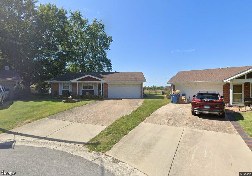
9 Hunt Dr Swansea, IL 62226
Estimated Value: $182,846 - $223,000
--
Bed
--
Bath
1,634
Sq Ft
$123/Sq Ft
Est. Value
About This Home
This home is located at 9 Hunt Dr, Swansea, IL 62226 and is currently estimated at $201,712, approximately $123 per square foot. 9 Hunt Dr is a home located in St. Clair County with nearby schools including Wolf Branch Elementary School, Wolf Branch Middle School, and Elite Scholars STEAM Academy.
Create a Home Valuation Report for This Property
The Home Valuation Report is an in-depth analysis detailing your home's value as well as a comparison with similar homes in the area
Home Values in the Area
Average Home Value in this Area
Tax History Compared to Growth
Tax History
| Year | Tax Paid | Tax Assessment Tax Assessment Total Assessment is a certain percentage of the fair market value that is determined by local assessors to be the total taxable value of land and additions on the property. | Land | Improvement |
|---|---|---|---|---|
| 2024 | $2,023 | $52,745 | $9,109 | $43,636 |
| 2023 | $2,042 | $49,891 | $8,983 | $40,908 |
| 2022 | $2,102 | $45,438 | $8,181 | $37,257 |
| 2021 | $2,143 | $43,573 | $7,845 | $35,728 |
| 2020 | $2,173 | $40,579 | $7,306 | $33,273 |
| 2019 | $2,184 | $40,339 | $7,455 | $32,884 |
| 2018 | $2,186 | $39,309 | $7,265 | $32,044 |
| 2017 | $2,188 | $38,263 | $7,072 | $31,191 |
| 2016 | $2,196 | $36,944 | $6,828 | $30,116 |
| 2014 | $2,423 | $36,166 | $6,585 | $29,581 |
| 2013 | $2,620 | $36,166 | $6,585 | $29,581 |
Source: Public Records
Map
Nearby Homes
- 2 Mercury Dr
- 34 Twilight Dr
- 525 Big Bend Blvd
- 3837 N Illinois St
- 505 Thistle Ln
- 3920 Michael John Dr
- 201 Big Bend Blvd
- 1861 Old Park Ln
- 1705 Old Park Ln
- 3920 Beechmont Cir
- 4167 Addiston Dr
- 1709 Old Park Ln
- 1857 Old Park Ln
- 4171 Addiston Dr
- 1878 Old Park Ln
- 1853 Old Park Ln
- 1849 Old Park Ln
- 3912 Red Bird Ln
- 3916 Red Bird Ln
- 3920 Red Bird Ln