9 Hunts Pond Ln Abington, MA 02351
Estimated Value: $907,000 - $1,428,048
5
Beds
5
Baths
3,095
Sq Ft
$350/Sq Ft
Est. Value
About This Home
This home is located at 9 Hunts Pond Ln, Abington, MA 02351 and is currently estimated at $1,082,262, approximately $349 per square foot. 9 Hunts Pond Ln is a home located in Plymouth County with nearby schools including Beaver Brook Elementary School, Abington Middle School, and Woodsdale School.
Ownership History
Date
Name
Owned For
Owner Type
Purchase Details
Closed on
May 26, 2022
Sold by
Jean M Mcmenimon T
Bought by
Mcmenimon Brett M and Mcmenimon Elyse A
Current Estimated Value
Purchase Details
Closed on
Mar 24, 2021
Sold by
Mcmenimon Jean M
Bought by
Jean M Mcmenimon T
Purchase Details
Closed on
Sep 1, 2016
Sold by
Mcmenimon Barry L and Mcmenimon Jean M
Bought by
Mcmenimon Jean M
Purchase Details
Closed on
Jul 27, 1997
Sold by
Hamhom Rt
Bought by
Mcmenimon Barry L and Mcmenimon Jean M
Create a Home Valuation Report for This Property
The Home Valuation Report is an in-depth analysis detailing your home's value as well as a comparison with similar homes in the area
Home Values in the Area
Average Home Value in this Area
Purchase History
| Date | Buyer | Sale Price | Title Company |
|---|---|---|---|
| Mcmenimon Brett M | -- | None Available | |
| Jean M Mcmenimon T | -- | None Available | |
| Mcmenimon Jean M | -- | -- | |
| Mcmenimon Barry L | $130,000 | -- |
Source: Public Records
Mortgage History
| Date | Status | Borrower | Loan Amount |
|---|---|---|---|
| Previous Owner | Mcmenimon Barry L | $119,100 | |
| Previous Owner | Mcmenimon Barry L | $240,000 | |
| Previous Owner | Mcmenimon Barry L | $55,000 | |
| Previous Owner | Mcmenimon Barry L | $40,000 |
Source: Public Records
Tax History Compared to Growth
Tax History
| Year | Tax Paid | Tax Assessment Tax Assessment Total Assessment is a certain percentage of the fair market value that is determined by local assessors to be the total taxable value of land and additions on the property. | Land | Improvement |
|---|---|---|---|---|
| 2025 | $17,246 | $1,320,500 | $441,600 | $878,900 |
| 2024 | $16,388 | $1,224,800 | $440,500 | $784,300 |
| 2023 | $13,703 | $964,300 | $407,900 | $556,400 |
| 2022 | $14,034 | $922,100 | $371,600 | $550,500 |
| 2021 | $7 | $813,200 | $363,000 | $450,200 |
| 2020 | $6,635 | $789,200 | $349,800 | $439,400 |
| 2019 | $10,319 | $789,500 | $349,800 | $439,700 |
| 2018 | $13,244 | $743,200 | $349,800 | $393,400 |
| 2017 | $13,359 | $728,000 | $349,800 | $378,200 |
| 2016 | $12,508 | $697,600 | $335,600 | $362,000 |
| 2015 | $11,643 | $684,900 | $335,600 | $349,300 |
Source: Public Records
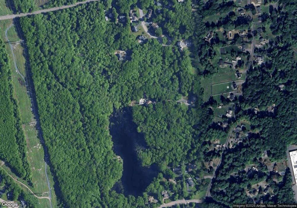
Map
Nearby Homes
- 11 Hunts Pond Ln
- 7 Hunts Pond Ln
- 8 Hunts Pond Ln
- 5 Hunts Pond Ln
- 143 Mill St
- 86 Linwood St
- 3 Hunts Pond Ln
- 30 Linwood St
- 30 Linwood St Unit 30
- 4 Hunts Pond Ln
- 149 Mill St
- 6 Hunts Pond Ln
- 98 Linwood St
- 160 Linwood St
- 106 Linwood St
- 38 Linwood St
- 78 Linwood St
- 62 Linwood St
- 162 Linwood St
- 16 Linwood St