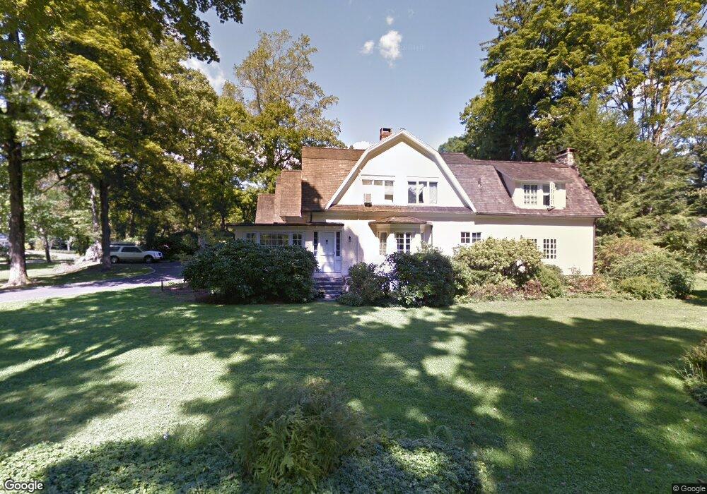
9 Huntzinger Dr Greenwich, CT 06831
Mid-Country West NeighborhoodEstimated Value: $3,960,968 - $4,525,000
5
Beds
5
Baths
5,416
Sq Ft
$765/Sq Ft
Est. Value
About This Home
This home is located at 9 Huntzinger Dr, Greenwich, CT 06831 and is currently estimated at $4,141,992, approximately $764 per square foot. 9 Huntzinger Dr is a home located in Fairfield County with nearby schools including Glenville School, Western Middle School, and Greenwich High School.
Ownership History
Date
Name
Owned For
Owner Type
Purchase Details
Closed on
Jul 31, 1992
Sold by
Burke Claire
Bought by
Channon Martin and Cannon Nancy
Current Estimated Value
Create a Home Valuation Report for This Property
The Home Valuation Report is an in-depth analysis detailing your home's value as well as a comparison with similar homes in the area
Home Values in the Area
Average Home Value in this Area
Purchase History
| Date | Buyer | Sale Price | Title Company |
|---|---|---|---|
| Channon Martin | $925,000 | -- |
Source: Public Records
Mortgage History
| Date | Status | Borrower | Loan Amount |
|---|---|---|---|
| Open | Channon Martin | $1,000,000 | |
| Closed | Channon Martin | $992,600 | |
| Closed | Channon Martin | $1,000,000 |
Source: Public Records
Tax History Compared to Growth
Tax History
| Year | Tax Paid | Tax Assessment Tax Assessment Total Assessment is a certain percentage of the fair market value that is determined by local assessors to be the total taxable value of land and additions on the property. | Land | Improvement |
|---|---|---|---|---|
| 2025 | $23,508 | $1,902,110 | $1,012,690 | $889,420 |
| 2024 | $22,704 | $1,902,110 | $1,012,690 | $889,420 |
| 2023 | $22,133 | $1,902,110 | $1,012,690 | $889,420 |
| 2022 | $21,931 | $1,902,110 | $1,012,690 | $889,420 |
| 2021 | $21,449 | $1,781,500 | $780,500 | $1,001,000 |
| 2020 | $21,414 | $1,781,500 | $780,500 | $1,001,000 |
| 2019 | $21,627 | $1,781,500 | $780,500 | $1,001,000 |
| 2018 | $21,146 | $1,781,500 | $780,500 | $1,001,000 |
| 2017 | $21,412 | $1,781,500 | $780,500 | $1,001,000 |
| 2016 | $21,073 | $1,781,500 | $780,500 | $1,001,000 |
| 2015 | $18,791 | $1,575,770 | $916,160 | $659,610 |
| 2014 | $18,318 | $1,575,770 | $916,160 | $659,610 |
Source: Public Records
Map
Nearby Homes
- 21 Calhoun Dr
- 20 Sherwood Farm Ln
- 14 Meadow Dr
- 175 Lake Ave
- 1 Prescott Ln
- 10 Carleton St
- 115 Lake Ave
- 34 Edgewood Dr
- 8 Fox Run Ln
- 22 Carleton St
- 626 W Lyon Farm Dr
- 2 Winding Ln
- 608 W Lyon Farm Dr
- 7 Perryridge Rd
- 68 Dearfield Dr
- 106 Patterson Ave
- 47 Lafayette Place Unit 6J
- 47 Lafayette Place Unit 6J
- 1 Northfield St Unit B
- 39 Homestead Rd