9 Independence Ave de Soto, MO 63020
Estimated Value: $320,760 - $390,000
Studio
--
Bath
1,708
Sq Ft
$207/Sq Ft
Est. Value
About This Home
This home is located at 9 Independence Ave, de Soto, MO 63020 and is currently estimated at $353,940, approximately $207 per square foot. 9 Independence Ave is a home located in Jefferson County with nearby schools including Sunrise Elementary School and St Rose Of Lima School.
Ownership History
Date
Name
Owned For
Owner Type
Purchase Details
Closed on
Oct 26, 2017
Sold by
Thomas James H and Thomas Wendy G
Bought by
Kamler David and Kamler Amber
Current Estimated Value
Home Financials for this Owner
Home Financials are based on the most recent Mortgage that was taken out on this home.
Original Mortgage
$230,450
Outstanding Balance
$192,284
Interest Rate
3.78%
Mortgage Type
New Conventional
Estimated Equity
$161,656
Purchase Details
Closed on
Apr 15, 2002
Sold by
Stocker Joseph R and Stocker Judy
Bought by
Thomas James H and Thomas Wendy G
Home Financials for this Owner
Home Financials are based on the most recent Mortgage that was taken out on this home.
Original Mortgage
$153,200
Interest Rate
6%
Purchase Details
Closed on
Aug 2, 2000
Sold by
Crader Rose V and Crader Cecil J
Bought by
Stocker Joseph R and Stocker Judy
Create a Home Valuation Report for This Property
The Home Valuation Report is an in-depth analysis detailing your home's value as well as a comparison with similar homes in the area
Home Values in the Area
Average Home Value in this Area
Purchase History
| Date | Buyer | Sale Price | Title Company |
|---|---|---|---|
| Kamler David | -- | None Available | |
| Thomas James H | -- | First American Title | |
| Stocker Joseph R | -- | Commonwealth Title |
Source: Public Records
Mortgage History
| Date | Status | Borrower | Loan Amount |
|---|---|---|---|
| Open | Kamler David | $230,450 | |
| Previous Owner | Thomas James H | $153,200 |
Source: Public Records
Tax History
| Year | Tax Paid | Tax Assessment Tax Assessment Total Assessment is a certain percentage of the fair market value that is determined by local assessors to be the total taxable value of land and additions on the property. | Land | Improvement |
|---|---|---|---|---|
| 2025 | $2,546 | $37,700 | $3,800 | $33,900 |
| 2024 | $2,546 | $35,400 | $3,800 | $31,600 |
| 2023 | $2,546 | $35,400 | $3,800 | $31,600 |
| 2022 | $2,523 | $35,400 | $3,800 | $31,600 |
| 2021 | $2,501 | $35,400 | $3,800 | $31,600 |
| 2020 | $2,068 | $28,600 | $1,600 | $27,000 |
| 2019 | $2,067 | $28,600 | $1,600 | $27,000 |
| 2018 | $2,051 | $28,600 | $1,600 | $27,000 |
| 2016 | $1,844 | $26,300 | $1,700 | $24,600 |
Source: Public Records
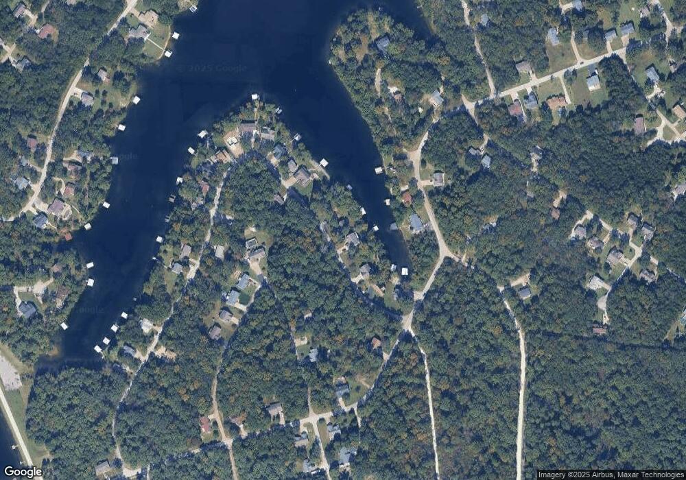
Map
Nearby Homes
- 401 Bunker Hill Dr
- 101 Constitution (Plat 6 Lot 101) Ave
- 415 Saratoga Dr
- 0 Section 5 Lots 10 & 11 Unit MAR24012677
- 6-264 Hamilton Dr
- Lot315 Sec6 Marion Dr
- 49 Monte Rosa Dr
- 0 Glen Echo Dr Unit MAR25029679
- Lot 371 Trenton Dr
- 211 Easy St
- 6-637 Easy
- 000 Glory Trail
- 0 Catawba Dr
- 2151 Lake Park Trail
- 2141 Big River Trail
- 401 Hill Side Rd
- 10 Acres Off Hawkwood Trail
- 0 Hill Side Rd Unit MIS26009917
- 400 Hill Side Rd
- 155 Lot Hill Side Rd
- 11 Independence Ave
- 5 Independence Ave
- 13 Independence Ave
- 3 Independence Ave
- 78 E Lakeview Dr
- 76 E Lakeview Dr
- 18 Independence Ave
- 1 Independence Ave
- 17 Independence Ave
- 20 Independence Ave
- 74 E Lakeview Dr
- 232TBB Saratoga Dr
- 290 Constitution Ave
- 19 Independence Ave
- 0 Bunker Hill Unit 80029886
- 300 Constitution Ave
- 0Lot 70 Independence Ave
- 75 E Lakeview Dr
- 90 E Lakeview Dr
- 122 Summer Set Section 6 Lot 122
Your Personal Tour Guide
Ask me questions while you tour the home.