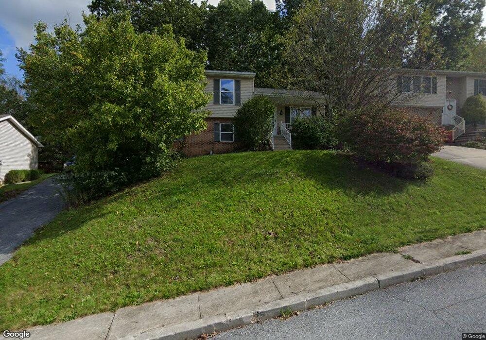
9 Independence Dr Mount Holly Springs, PA 17065
Estimated Value: $282,840 - $286,000
3
Beds
2
Baths
1,356
Sq Ft
$210/Sq Ft
Est. Value
About This Home
This home is located at 9 Independence Dr, Mount Holly Springs, PA 17065 and is currently estimated at $284,960, approximately $210 per square foot. 9 Independence Dr is a home located in Cumberland County with nearby schools including Mt. Holly Springs Elementary School, Lamberton Middle School, and Carlisle Area High School.
Ownership History
Date
Name
Owned For
Owner Type
Purchase Details
Closed on
Sep 8, 2006
Sold by
Johns Matthew W
Bought by
Wimer Laci A
Current Estimated Value
Home Financials for this Owner
Home Financials are based on the most recent Mortgage that was taken out on this home.
Original Mortgage
$135,100
Outstanding Balance
$81,662
Interest Rate
6.79%
Mortgage Type
New Conventional
Estimated Equity
$203,298
Create a Home Valuation Report for This Property
The Home Valuation Report is an in-depth analysis detailing your home's value as well as a comparison with similar homes in the area
Home Values in the Area
Average Home Value in this Area
Purchase History
| Date | Buyer | Sale Price | Title Company |
|---|---|---|---|
| Wimer Laci A | $168,900 | -- |
Source: Public Records
Mortgage History
| Date | Status | Borrower | Loan Amount |
|---|---|---|---|
| Open | Wimer Laci A | $135,100 |
Source: Public Records
Tax History Compared to Growth
Tax History
| Year | Tax Paid | Tax Assessment Tax Assessment Total Assessment is a certain percentage of the fair market value that is determined by local assessors to be the total taxable value of land and additions on the property. | Land | Improvement |
|---|---|---|---|---|
| 2025 | $3,969 | $165,600 | $36,400 | $129,200 |
| 2024 | $3,857 | $165,600 | $36,400 | $129,200 |
| 2023 | $3,621 | $165,600 | $36,400 | $129,200 |
| 2022 | $3,511 | $165,600 | $36,400 | $129,200 |
| 2021 | $3,460 | $165,600 | $36,400 | $129,200 |
| 2020 | $3,386 | $165,600 | $36,400 | $129,200 |
| 2019 | $3,264 | $165,600 | $36,400 | $129,200 |
| 2018 | $3,172 | $165,600 | $36,400 | $129,200 |
| 2017 | $3,106 | $165,600 | $36,400 | $129,200 |
| 2016 | -- | $165,600 | $36,400 | $129,200 |
| 2015 | -- | $165,600 | $36,400 | $129,200 |
| 2014 | -- | $165,600 | $36,400 | $129,200 |
Source: Public Records
Map
Nearby Homes
- 18 Yankee Dr
- 0 E Locust St Unit PACB2047480
- 12 Larken Ln
- 23 N Baltimore Ave
- 419 Chestnut St
- 610 Woodland Ave
- 4599 Carlisle Rd
- 109 Sycamore Dr
- 1132 Petersburg Rd
- 316 Pine Rd
- 200 Old State Rd
- Church Ln
- 00 Church Ln
- 4303 Carlisle Rd
- 19 Sandy Bottom Rd
- 645 W 1st St
- 6 Auburn Cir
- 51 Heisers Ln
- 1301 Goodyear Rd Unit (35.50 ACRES)
- 155 Coffeetown Rd
- 7 Independence Dr
- 11 Independence Dr
- 5 Independence Dr
- 13 Independence Dr
- 6 Independence Dr
- 20 Yankee Dr
- 8 Independence Dr
- 45 Liberty Dr
- 47 Liberty Dr
- 4 Independence Dr
- 22 Yankee Dr
- 10 Independence Dr
- 15 Independence Dr
- 12 Independence Dr
- 5 Liberty Dr
- 7 Liberty Dr
- 2 Independence Dr
- 17 Independence Dr
- 43 Liberty Dr
- 3 Liberty Dr