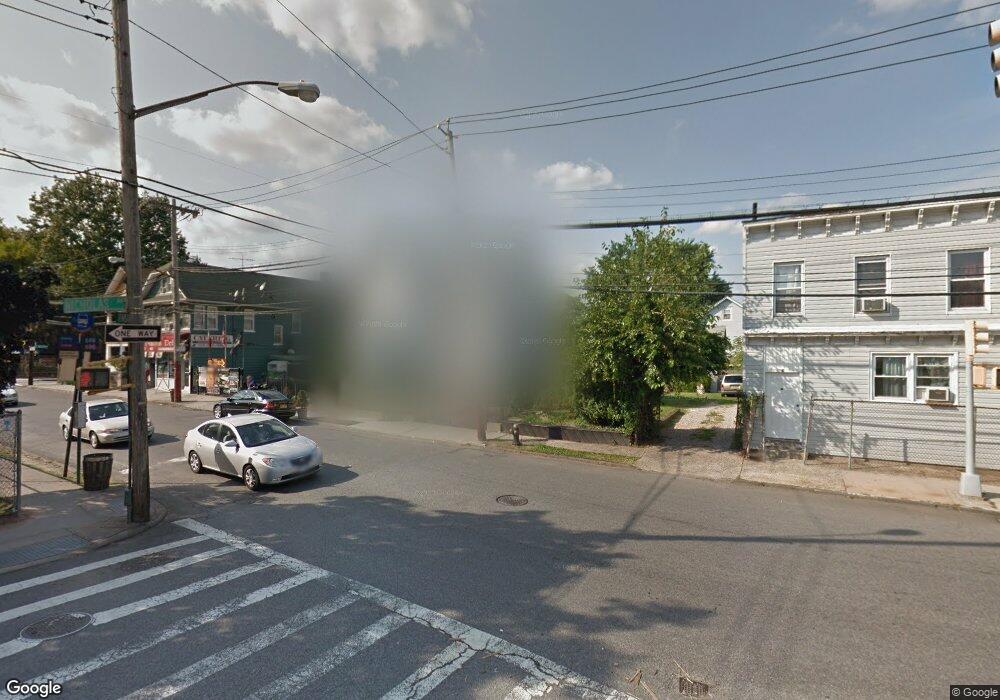
9 Innis St Staten Island, NY 10302
Port Richmond NeighborhoodEstimated Value: $595,320 - $680,000
--
Bed
4
Baths
2,124
Sq Ft
$298/Sq Ft
Est. Value
About This Home
This home is located at 9 Innis St, Staten Island, NY 10302 and is currently estimated at $632,580, approximately $297 per square foot. 9 Innis St is a home located in Richmond County with nearby schools including PS 21 Margaret Emery-Elm Park, I.S. 51 Edwin Markham, and Port Richmond High School.
Ownership History
Date
Name
Owned For
Owner Type
Purchase Details
Closed on
Sep 27, 2007
Sold by
Tolas Janet E and Tolas Charles
Bought by
Tolas Charles
Current Estimated Value
Create a Home Valuation Report for This Property
The Home Valuation Report is an in-depth analysis detailing your home's value as well as a comparison with similar homes in the area
Home Values in the Area
Average Home Value in this Area
Purchase History
| Date | Buyer | Sale Price | Title Company |
|---|---|---|---|
| Tolas Charles | $100,000 | The Judicial Title Insurance |
Source: Public Records
Tax History Compared to Growth
Tax History
| Year | Tax Paid | Tax Assessment Tax Assessment Total Assessment is a certain percentage of the fair market value that is determined by local assessors to be the total taxable value of land and additions on the property. | Land | Improvement |
|---|---|---|---|---|
| 2025 | $5,202 | $35,640 | $6,187 | $29,453 |
| 2024 | $5,214 | $38,040 | $5,469 | $32,571 |
| 2023 | $2,839 | $27,302 | $4,698 | $22,604 |
| 2022 | $2,701 | $37,680 | $7,620 | $30,060 |
| 2021 | $5,076 | $39,720 | $7,620 | $32,100 |
| 2020 | $4,809 | $34,260 | $7,620 | $26,640 |
| 2019 | $4,467 | $31,560 | $7,620 | $23,940 |
| 2018 | $4,340 | $22,752 | $7,030 | $15,722 |
| 2017 | $4,303 | $22,580 | $7,081 | $15,499 |
| 2016 | $3,949 | $21,302 | $5,868 | $15,434 |
| 2015 | $3,246 | $20,097 | $5,621 | $14,476 |
| 2014 | $3,246 | $18,960 | $6,360 | $12,600 |
Source: Public Records
Map
Nearby Homes
- 98 Saint Josephs Ave
- 145 Clinton Place
- 209 Nicholas Ave
- 231 Charles Ave
- 38 Laforge Ave
- 145 Morningside Ave Unit 2C
- 13 Laforge Ave
- 11 Laforge Ave
- 28 Hooker Place
- 211 Morningstar Rd
- 152 Port Richmond Ave
- 469 Port Richmond Ave
- 54 Riverside Dr Unit 1AA
- 121 Harrison Ave
- 28 Morningstar Rd
- 28 Clinton Place
- 1594 Castleton Ave
- 306 Morningstar Rd
- 47 Montell St
- 322 Morningstar Rd
- 1 Innis St
- 15 Innis St Unit 1
- 15 Innis St
- 248 Nicholas Ave
- 72 Saint Josephs Ave
- 19 Innis St
- 244 Nicholas Ave
- 274 Nicholas Ave
- 74 Saint Josephs Ave
- 272 Nicholas Ave
- 76 Saint Josephs Ave
- 240 Nicholas Ave
- 0 Saint Josephs Ave
- 14 Innis St
- 78 Saint Josephs Ave
- 253 Nicholas Ave
- 251 Nicholas Ave
- 16 Innis St
- 259 Nicholas Ave
- 259 Nicholas Ave Unit 1