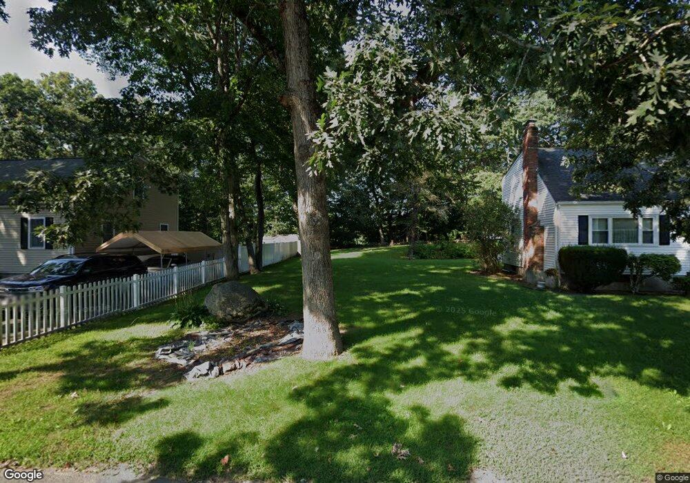
9 Judy Ln Mansfield, MA 02048
Estimated Value: $597,771 - $669,000
3
Beds
3
Baths
1,421
Sq Ft
$439/Sq Ft
Est. Value
About This Home
This home is located at 9 Judy Ln, Mansfield, MA 02048 and is currently estimated at $623,943, approximately $439 per square foot. 9 Judy Ln is a home located in Bristol County with nearby schools including Everett W. Robinson Elementary School, Jordan/Jackson Elementary School, and Harold L. Qualters Middle School.
Ownership History
Date
Name
Owned For
Owner Type
Purchase Details
Closed on
Jun 16, 2005
Sold by
Cloherty Kevin P
Bought by
Aspinall James M and Aspinall Kathleen
Current Estimated Value
Home Financials for this Owner
Home Financials are based on the most recent Mortgage that was taken out on this home.
Original Mortgage
$295,000
Outstanding Balance
$154,206
Interest Rate
5.78%
Mortgage Type
Purchase Money Mortgage
Estimated Equity
$469,737
Purchase Details
Closed on
Jan 19, 1994
Sold by
Schmidt William H and Schmidt Donna
Bought by
Cloherty Kevin P
Home Financials for this Owner
Home Financials are based on the most recent Mortgage that was taken out on this home.
Original Mortgage
$125,400
Interest Rate
7.08%
Mortgage Type
Purchase Money Mortgage
Create a Home Valuation Report for This Property
The Home Valuation Report is an in-depth analysis detailing your home's value as well as a comparison with similar homes in the area
Home Values in the Area
Average Home Value in this Area
Purchase History
| Date | Buyer | Sale Price | Title Company |
|---|---|---|---|
| Aspinall James M | $375,000 | -- | |
| Cloherty Kevin P | $132,000 | -- |
Source: Public Records
Mortgage History
| Date | Status | Borrower | Loan Amount |
|---|---|---|---|
| Open | Aspinall James M | $295,000 | |
| Previous Owner | Cloherty Kevin P | $125,400 |
Source: Public Records
Tax History Compared to Growth
Tax History
| Year | Tax Paid | Tax Assessment Tax Assessment Total Assessment is a certain percentage of the fair market value that is determined by local assessors to be the total taxable value of land and additions on the property. | Land | Improvement |
|---|---|---|---|---|
| 2025 | $6,692 | $508,100 | $252,000 | $256,100 |
| 2024 | $6,747 | $499,800 | $240,500 | $259,300 |
| 2023 | $6,541 | $464,200 | $240,500 | $223,700 |
| 2022 | $6,324 | $416,900 | $222,700 | $194,200 |
| 2021 | $6,173 | $401,900 | $212,000 | $189,900 |
| 2020 | $5,546 | $361,100 | $185,500 | $175,600 |
| 2019 | $5,388 | $354,000 | $176,800 | $177,200 |
| 2018 | $3,797 | $341,000 | $168,500 | $172,500 |
| 2017 | $4,809 | $320,200 | $163,600 | $156,600 |
| 2016 | $4,620 | $299,800 | $155,900 | $143,900 |
| 2015 | $4,599 | $296,700 | $155,900 | $140,800 |
Source: Public Records
Map
Nearby Homes
- 245 Willow St
- 12 Wilson Place
- 21 East St Unit 1D
- 16 East St Unit 2
- 15 Reservoir St Unit 44
- 18 Columbine Rd
- 28 Court St
- 28 Court St Unit 4
- 38 Court St
- 460 Ware St
- 442 Ware St
- 72 Court St Unit B
- 24 Barberry Rd
- 76 Samoset Ave
- 150 Rumford Ave Unit 222
- 241-243 N Main St
- 250 Mansfield Ave Unit 66
- 711 Ware St
- 450 West St
- 22 Pleasant St Unit B