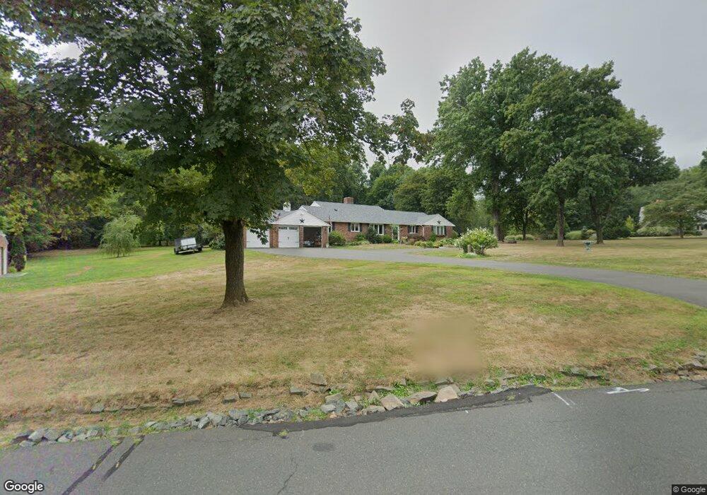
9 Kenmore Rd Bloomfield, CT 06002
Estimated Value: $477,000 - $601,000
3
Beds
3
Baths
2,473
Sq Ft
$221/Sq Ft
Est. Value
About This Home
This home is located at 9 Kenmore Rd, Bloomfield, CT 06002 and is currently estimated at $546,470, approximately $220 per square foot. 9 Kenmore Rd is a home located in Hartford County with nearby schools including Laurel School, Carmen Arace Intermediate School, and Metacomet School.
Ownership History
Date
Name
Owned For
Owner Type
Purchase Details
Closed on
Jul 3, 2003
Sold by
Pudenz Brian
Bought by
Bryant Nancy
Current Estimated Value
Purchase Details
Closed on
Aug 23, 2002
Sold by
Thornton Anita Est and Thornton
Bought by
Pudenz Brian
Create a Home Valuation Report for This Property
The Home Valuation Report is an in-depth analysis detailing your home's value as well as a comparison with similar homes in the area
Home Values in the Area
Average Home Value in this Area
Purchase History
| Date | Buyer | Sale Price | Title Company |
|---|---|---|---|
| Bryant Nancy | $357,500 | -- | |
| Bryant Nancy | $357,500 | -- | |
| Pudenz Brian | $345,000 | -- | |
| Pudenz Brian | $345,000 | -- |
Source: Public Records
Mortgage History
| Date | Status | Borrower | Loan Amount |
|---|---|---|---|
| Open | Pudenz Brian | $218,000 | |
| Closed | Pudenz Brian | $650,000 | |
| Closed | Pudenz Brian | $220,000 |
Source: Public Records
Tax History
| Year | Tax Paid | Tax Assessment Tax Assessment Total Assessment is a certain percentage of the fair market value that is determined by local assessors to be the total taxable value of land and additions on the property. | Land | Improvement |
|---|---|---|---|---|
| 2025 | $13,634 | $363,580 | $89,180 | $274,400 |
| 2024 | $9,394 | $239,400 | $77,280 | $162,120 |
| 2023 | $9,224 | $239,400 | $77,280 | $162,120 |
| 2022 | $8,626 | $239,400 | $77,280 | $162,120 |
| 2021 | $8,817 | $239,400 | $77,280 | $162,120 |
| 2020 | $8,681 | $239,400 | $77,280 | $162,120 |
| 2019 | $9,209 | $238,210 | $77,280 | $160,930 |
| 2018 | $9,605 | $248,710 | $77,630 | $171,080 |
| 2017 | $9,590 | $248,710 | $77,630 | $171,080 |
| 2016 | $9,364 | $248,710 | $77,630 | $171,080 |
| 2015 | $9,190 | $248,710 | $77,630 | $171,080 |
| 2014 | $10,042 | $280,980 | $93,590 | $187,390 |
Source: Public Records
Map
Nearby Homes
- 5 Caramoor Park Unit 5
- 34 Cary Ln Unit 34
- 26 Burnwood Dr
- 170 Thistle Pond Dr Unit 170
- 162 Thistle Pond Dr
- 545 Simsbury Rd
- 81 Silo Way Unit 81
- 10 Ironwood Ln
- 17 Harwich Ln Unit 17
- 11 Forest Hills Dr
- 148 Hyde Rd
- 40 Ferncliff Dr
- 24 Parsons Way
- 63 Duncaster Rd
- 2 Ferncliff Dr
- 79 Prospect St
- 148 King Philip Dr
- 15 Parsons Way
- 21 Karen Rd
- 5 Lovelace Dr
Your Personal Tour Guide
Ask me questions while you tour the home.