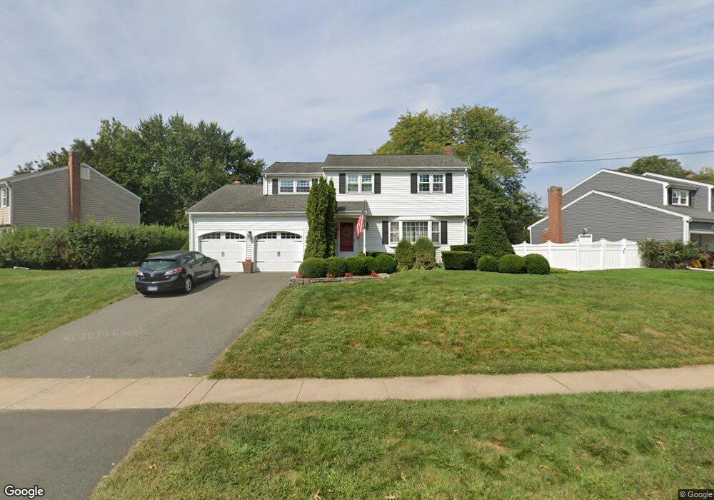
9 King Rd West Hartford, CT 06107
Estimated Value: $666,763 - $721,000
4
Beds
2
Baths
2,112
Sq Ft
$328/Sq Ft
Est. Value
About This Home
This home is located at 9 King Rd, West Hartford, CT 06107 and is currently estimated at $691,941, approximately $327 per square foot. 9 King Rd is a home located in Hartford County with nearby schools including Duffy School, Sedgwick Middle School, and Conard High School.
Ownership History
Date
Name
Owned For
Owner Type
Purchase Details
Closed on
Jul 1, 2009
Sold by
Denton Diane D
Bought by
Brown Gerald E and Brown Lisa I
Current Estimated Value
Home Financials for this Owner
Home Financials are based on the most recent Mortgage that was taken out on this home.
Original Mortgage
$313,600
Outstanding Balance
$199,944
Interest Rate
4.86%
Estimated Equity
$491,997
Create a Home Valuation Report for This Property
The Home Valuation Report is an in-depth analysis detailing your home's value as well as a comparison with similar homes in the area
Home Values in the Area
Average Home Value in this Area
Purchase History
| Date | Buyer | Sale Price | Title Company |
|---|---|---|---|
| Brown Gerald E | $392,000 | -- |
Source: Public Records
Mortgage History
| Date | Status | Borrower | Loan Amount |
|---|---|---|---|
| Open | Brown Gerald E | $12,000 | |
| Open | Brown Gerald E | $313,600 |
Source: Public Records
Tax History Compared to Growth
Tax History
| Year | Tax Paid | Tax Assessment Tax Assessment Total Assessment is a certain percentage of the fair market value that is determined by local assessors to be the total taxable value of land and additions on the property. | Land | Improvement |
|---|---|---|---|---|
| 2025 | $13,958 | $311,710 | $112,350 | $199,360 |
| 2024 | $13,201 | $311,710 | $112,350 | $199,360 |
| 2023 | $12,755 | $311,710 | $112,350 | $199,360 |
| 2022 | $12,680 | $311,710 | $112,350 | $199,360 |
| 2021 | $11,780 | $277,690 | $115,710 | $161,980 |
| 2020 | $10,908 | $260,960 | $108,360 | $152,600 |
| 2019 | $10,908 | $260,960 | $108,360 | $152,600 |
| 2018 | $10,699 | $260,960 | $108,360 | $152,600 |
| 2017 | $10,710 | $260,960 | $108,360 | $152,600 |
| 2016 | $10,194 | $258,020 | $91,000 | $167,020 |
| 2015 | $9,885 | $258,020 | $91,000 | $167,020 |
| 2014 | $9,642 | $258,020 | $91,000 | $167,020 |
Source: Public Records
Map
Nearby Homes
- 50 Tunxis Rd
- 51 Lemay St
- 1925 Boulevard
- 26 Pheasant Hill Dr
- 126 Westminster Dr
- 14 Hedwig Ct
- 7 Buena Vista Rd
- 632 Park Rd
- 117 Tunxis Rd
- 29 Fairwood Farms Dr
- 63 Rumford St
- 69 Fairwood Farms Dr
- 42 Fairwood Farms Dr
- 6 Greenhurst Rd
- 1640 Boulevard
- 236 Ridgewood Rd
- 1028 Farmington Ave Unit 1C
- 2 Arapahoe Rd Unit 313
- 2 Arapahoe Rd Unit 308
- 2 Arapahoe Rd Unit 611
- 15 King Rd
- 3 King Rd
- 21 King Rd
- 19 King Rd
- 21 Westminster Dr
- 23 King Rd
- 14 Westminster Dr
- 18 Westminster Dr
- 10 Westminster Dr
- 25 Westminster Dr
- 22 Westminster Dr
- 25 King Rd
- 125 Sedgwick Rd
- 6 Westminster Dr
- 26 Westminster Dr
- 123 Sedgwick Rd
- 127 Sedgwick Rd
- 29 King Rd
- 29 Westminster Dr
- 28 Westminster Dr