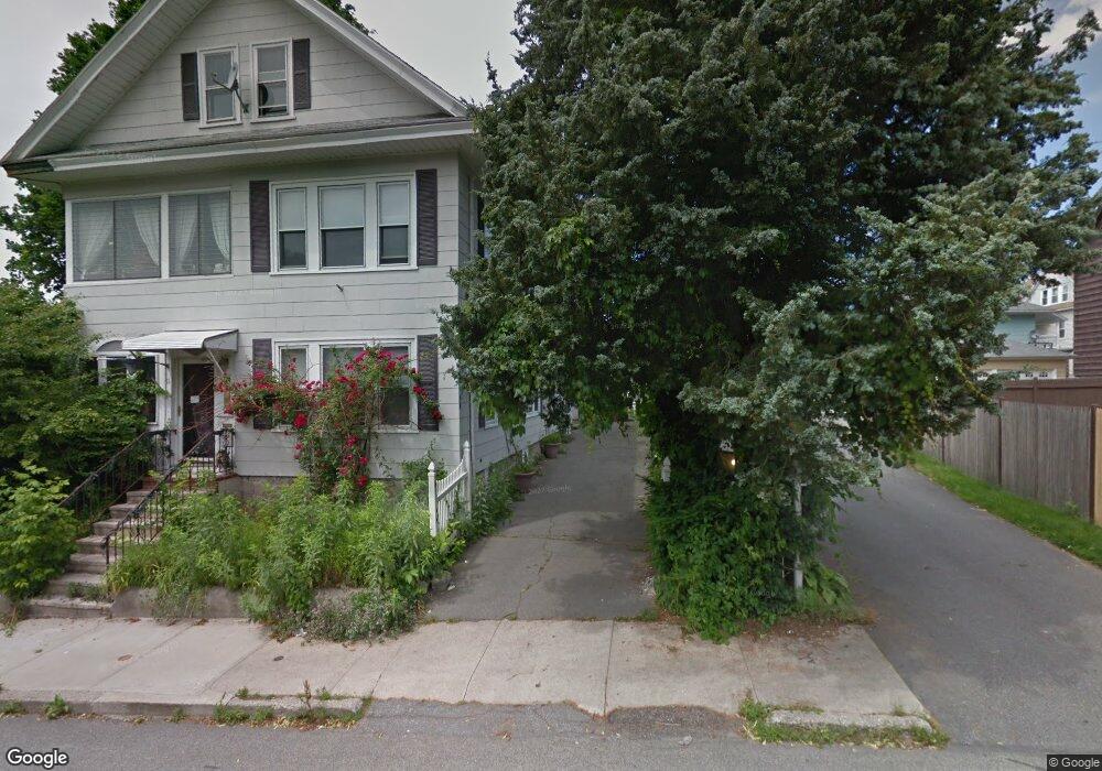
9 King St Unit 11 Methuen, MA 01844
The East End NeighborhoodEstimated Value: $664,000 - $762,000
6
Beds
2
Baths
2,754
Sq Ft
$258/Sq Ft
Est. Value
About This Home
This home is located at 9 King St Unit 11, Methuen, MA 01844 and is currently estimated at $710,770, approximately $258 per square foot. 9 King St Unit 11 is a home located in Essex County with nearby schools including Timony Grammar School, Methuen High School, and Community Day Charter Public School - Gateway.
Ownership History
Date
Name
Owned For
Owner Type
Purchase Details
Closed on
Jul 30, 1999
Sold by
Donovan Raymond E and Bortolino David J
Bought by
Andersen Donna M
Current Estimated Value
Home Financials for this Owner
Home Financials are based on the most recent Mortgage that was taken out on this home.
Original Mortgage
$114,520
Interest Rate
7.61%
Mortgage Type
Purchase Money Mortgage
Purchase Details
Closed on
Apr 12, 1999
Sold by
Grande Judith Mae
Bought by
Donovan Raymond E
Home Financials for this Owner
Home Financials are based on the most recent Mortgage that was taken out on this home.
Original Mortgage
$44,450
Interest Rate
6.83%
Mortgage Type
Purchase Money Mortgage
Create a Home Valuation Report for This Property
The Home Valuation Report is an in-depth analysis detailing your home's value as well as a comparison with similar homes in the area
Home Values in the Area
Average Home Value in this Area
Purchase History
| Date | Buyer | Sale Price | Title Company |
|---|---|---|---|
| Andersen Donna M | $140,000 | -- | |
| Andersen Donna M | $140,000 | -- | |
| Donovan Raymond E | $63,500 | -- | |
| Donovan Raymond E | $63,500 | -- |
Source: Public Records
Mortgage History
| Date | Status | Borrower | Loan Amount |
|---|---|---|---|
| Open | Donovan Raymond E | $216,000 | |
| Closed | Donovan Raymond E | $114,520 | |
| Previous Owner | Donovan Raymond E | $44,450 |
Source: Public Records
Tax History
| Year | Tax Paid | Tax Assessment Tax Assessment Total Assessment is a certain percentage of the fair market value that is determined by local assessors to be the total taxable value of land and additions on the property. | Land | Improvement |
|---|---|---|---|---|
| 2025 | $6,856 | $648,000 | $191,700 | $456,300 |
| 2024 | $6,274 | $577,700 | $174,800 | $402,900 |
| 2023 | $18,618 | $524,900 | $155,400 | $369,500 |
| 2022 | $5,524 | $423,300 | $123,000 | $300,300 |
| 2021 | $17,918 | $401,500 | $116,600 | $284,900 |
| 2020 | $18,630 | $378,400 | $116,600 | $261,800 |
| 2019 | $17,708 | $331,300 | $110,100 | $221,200 |
| 2018 | $16,132 | $307,000 | $103,600 | $203,400 |
| 2017 | $15,023 | $294,700 | $103,600 | $191,100 |
| 2016 | $3,877 | $261,800 | $90,700 | $171,100 |
| 2015 | $3,711 | $254,200 | $90,700 | $163,500 |
Source: Public Records
Map
Nearby Homes
- 39 Swan Ave
- 12 Annette St
- 144 Ferry St
- 18 Erhardt Terrace
- 106 Leroy Ave
- 169 Berkeley St
- 2 Oak Knoll Rd
- 264 E Haverhill St Unit 2
- 129-131 Lexington St
- 192 Union St
- 2 Leslie St
- 37 Albion St
- 68 Ashford St
- 21 Oak St Unit A
- 131A Lawrence St Unit 40
- 89 Newbury St Unit 89B
- 14 Buttonwood Dr
- 7-9 Bennington St
- 94 Summer St
- 82 Oakside Ave
Your Personal Tour Guide
Ask me questions while you tour the home.