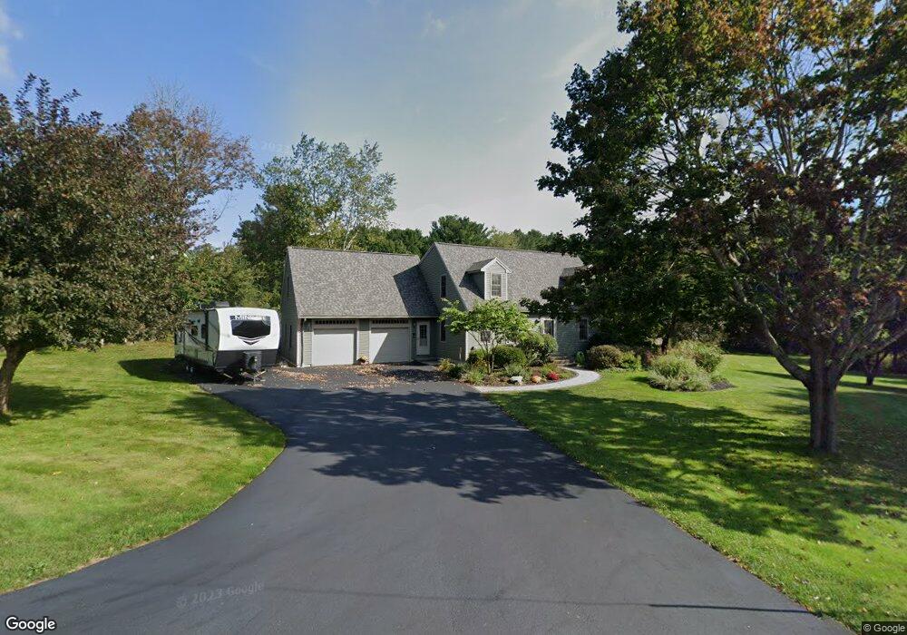
9 Kittredge Rd Spencer, MA 01562
Estimated Value: $385,000 - $633,000
3
Beds
2
Baths
1,877
Sq Ft
$275/Sq Ft
Est. Value
About This Home
This home is located at 9 Kittredge Rd, Spencer, MA 01562 and is currently estimated at $515,473, approximately $274 per square foot. 9 Kittredge Rd is a home located in Worcester County with nearby schools including David Prouty High School.
Ownership History
Date
Name
Owned For
Owner Type
Purchase Details
Closed on
Sep 26, 2024
Sold by
Barber Todd S and Barber Donna M
Bought by
Barber Donna M
Current Estimated Value
Purchase Details
Closed on
May 1, 1992
Sold by
Lussier George
Bought by
Barber Todd S and Barber Donna
Create a Home Valuation Report for This Property
The Home Valuation Report is an in-depth analysis detailing your home's value as well as a comparison with similar homes in the area
Home Values in the Area
Average Home Value in this Area
Purchase History
| Date | Buyer | Sale Price | Title Company |
|---|---|---|---|
| Barber Donna M | -- | None Available | |
| Barber Donna M | -- | None Available | |
| Barber Todd S | $128,000 | -- | |
| Lussier George | $50,000 | -- | |
| Barber Todd S | $128,000 | -- |
Source: Public Records
Mortgage History
| Date | Status | Borrower | Loan Amount |
|---|---|---|---|
| Previous Owner | Barber Todd S | $143,000 | |
| Previous Owner | Barber Todd S | $125,000 | |
| Previous Owner | Barber Todd S | $14,000 |
Source: Public Records
Tax History Compared to Growth
Tax History
| Year | Tax Paid | Tax Assessment Tax Assessment Total Assessment is a certain percentage of the fair market value that is determined by local assessors to be the total taxable value of land and additions on the property. | Land | Improvement |
|---|---|---|---|---|
| 2025 | $55 | $467,800 | $52,300 | $415,500 |
| 2024 | $5,015 | $438,400 | $52,300 | $386,100 |
| 2023 | $4,723 | $391,600 | $52,300 | $339,300 |
| 2022 | $4,643 | $352,800 | $47,400 | $305,400 |
| 2021 | $4,548 | $323,900 | $47,400 | $276,500 |
| 2020 | $4,198 | $297,300 | $47,400 | $249,900 |
| 2019 | $4,035 | $291,100 | $43,100 | $248,000 |
| 2018 | $3,666 | $273,200 | $49,600 | $223,600 |
| 2017 | $3,610 | $258,200 | $47,400 | $210,800 |
| 2016 | $3,391 | $237,300 | $47,400 | $189,900 |
| 2015 | $3,247 | $237,500 | $52,300 | $185,200 |
| 2014 | $3,123 | $237,500 | $52,300 | $185,200 |
Source: Public Records
Map
Nearby Homes
- 111 Northwest Rd
- 15 Northwest Rd
- 50-52 & N Spencer
- 18 B N Spencer Rd
- 13 Washburn Terrace
- 61 Hillsville and Spencer Rd
- 6 Eagleton St
- 4 Eagleton St
- 72 Wire Village Rd
- 16 Old Farm Rd
- 30 Grant St
- 196 N Spencer Rd
- 8 Wilson St
- 157 School St
- 52 Grove St
- 6 Sullivan St
- 108 Paxton Rd
- 12 Crown St
- 130 Paxton Rd
- 13 Grove St
- 7 Kittredge Rd
- 12 Kittredge Rd
- 10 Kittredge Rd
- 5 Kittredge Rd
- 8 Kittredge Rd
- 13 Kittredge Rd
- 14 Kittredge Rd
- 3 Kittredge Rd
- 16 Kittredge Rd
- 15 Kittredge Rd
- 1 Kittredge Rd
- 4 Kittredge Rd
- 79 Northwest Rd
- 77 Northwest Rd
- 18 Kittredge Rd
- 0 N Brookfield Rd
- 2 Kittredge Rd
- 17 Kittredge Rd
- 83 Northwest Rd
- 2 Thornberry Cir