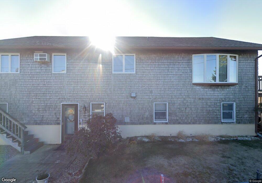
9 L St Unit 2 Newburyport, MA 01950
Estimated Value: $1,181,980 - $1,459,000
4
Beds
3
Baths
3,000
Sq Ft
$440/Sq Ft
Est. Value
About This Home
This home is located at 9 L St Unit 2, Newburyport, MA 01950 and is currently estimated at $1,321,245, approximately $440 per square foot. 9 L St Unit 2 is a home located in Essex County with nearby schools including Francis T. Bresnahan Elementary School, Edward G. Molin Elementary School, and Rupert A. Nock Middle School.
Create a Home Valuation Report for This Property
The Home Valuation Report is an in-depth analysis detailing your home's value as well as a comparison with similar homes in the area
Home Values in the Area
Average Home Value in this Area
Tax History Compared to Growth
Tax History
| Year | Tax Paid | Tax Assessment Tax Assessment Total Assessment is a certain percentage of the fair market value that is determined by local assessors to be the total taxable value of land and additions on the property. | Land | Improvement |
|---|---|---|---|---|
| 2025 | $10,090 | $1,053,200 | $603,200 | $450,000 |
| 2024 | $9,545 | $957,400 | $515,800 | $441,600 |
| 2023 | $9,024 | $840,200 | $407,700 | $432,500 |
| 2022 | $8,938 | $744,200 | $339,800 | $404,400 |
| 2021 | $8,565 | $677,600 | $308,900 | $368,700 |
| 2020 | $8,426 | $656,200 | $308,900 | $347,300 |
| 2019 | $7,966 | $609,000 | $308,900 | $300,100 |
| 2018 | $7,822 | $589,900 | $294,200 | $295,700 |
| 2017 | $7,243 | $538,500 | $280,200 | $258,300 |
| 2016 | $7,140 | $533,200 | $277,100 | $256,100 |
| 2015 | $6,761 | $506,800 | $277,100 | $229,700 |
Source: Public Records
Map
Nearby Homes
- 163 Old Point Rd
- 7 Davoli Way
- 5 Harbor St
- 11 Harbor St
- 12 Barker St
- 4 54th St
- 10 61st St Unit 10
- 12 63rd St
- 11 71st St
- 12 53rd St
- 28 & 30 Plum Island Turnpike
- 11 Sunset Dr
- 65 Plum Island Turnpike
- 2 Sunset Dr
- 10 Meadowview Ln Unit B
- 14 Fordham Way
- 3 Riverview Dr
- 42 Riverview Dr
- 4 Goodwin Ave
- 141 Atlantic Ave