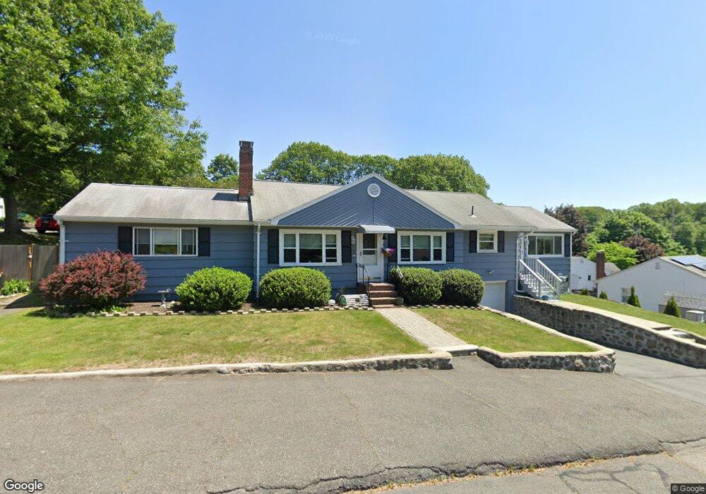
9 Ladd Rd Lynn, MA 01904
Lynn Woods NeighborhoodEstimated Value: $629,000 - $693,000
2
Beds
2
Baths
1,732
Sq Ft
$378/Sq Ft
Est. Value
About This Home
This home is located at 9 Ladd Rd, Lynn, MA 01904 and is currently estimated at $654,835, approximately $378 per square foot. 9 Ladd Rd is a home located in Essex County with nearby schools including Capt. William G. Shoemaker Elementary School, William R. Fallon School, and Pickering Middle School.
Ownership History
Date
Name
Owned For
Owner Type
Purchase Details
Closed on
May 14, 2018
Sold by
Rapoport Lynne B
Bought by
Rapoport Irt and Rapoport
Current Estimated Value
Purchase Details
Closed on
Apr 5, 2007
Sold by
Robinson Lynne B
Bought by
Robinson Lynne B Est and Lynne B Robinson Ret
Purchase Details
Closed on
Apr 18, 2006
Sold by
Robinson Lynne and Robinson Michael
Bought by
Robinson Lynne B
Create a Home Valuation Report for This Property
The Home Valuation Report is an in-depth analysis detailing your home's value as well as a comparison with similar homes in the area
Home Values in the Area
Average Home Value in this Area
Purchase History
| Date | Buyer | Sale Price | Title Company |
|---|---|---|---|
| Rapoport Irt | -- | -- | |
| Rapoport Lynne B | -- | -- | |
| Robinson Lynne B Est | -- | -- | |
| Robinson Lynne B Est | -- | -- | |
| Robinson Lynne B Est | -- | -- | |
| Robinson Lynne B | -- | -- | |
| Robinson Lynne B | -- | -- | |
| Robinson Lynne B | -- | -- |
Source: Public Records
Tax History
| Year | Tax Paid | Tax Assessment Tax Assessment Total Assessment is a certain percentage of the fair market value that is determined by local assessors to be the total taxable value of land and additions on the property. | Land | Improvement |
|---|---|---|---|---|
| 2025 | $6,631 | $640,100 | $238,300 | $401,800 |
| 2024 | $6,154 | $584,400 | $220,400 | $364,000 |
| 2023 | $5,971 | $535,500 | $212,900 | $322,600 |
| 2022 | $5,672 | $456,300 | $178,100 | $278,200 |
| 2021 | $5,589 | $428,900 | $175,100 | $253,800 |
| 2020 | $5,726 | $427,300 | $185,500 | $241,800 |
| 2019 | $5,477 | $383,000 | $160,700 | $222,300 |
| 2018 | $5,569 | $367,600 | $174,600 | $193,000 |
| 2017 | $5,279 | $338,400 | $150,200 | $188,200 |
| 2016 | $4,988 | $308,300 | $137,300 | $171,000 |
| 2015 | $4,822 | $287,900 | $137,300 | $150,600 |
Source: Public Records
Map
Nearby Homes
- 325 Den Quarry Rd
- 217 Cedar Brook Rd
- 13 Ralph Rd
- 54 Harris Rd
- 233 Bartholomew St
- 2 Anchor Rd
- 32 Grant Rd
- 11 Pulver Dr
- 15 York Terrace
- 9 Hermon Rd
- 111 Den Quarry Rd
- 21 Oak Leaf Way
- 26 Joel Cir
- 11 Emerald Dr
- 115 Quinn Rd
- 12 Mansfield St
- 43 Gedney Dr
- 333 Lynnfield St
- 55 Apple Blossom Ln Unit 8
- 55 Apple Blossom Ln
- 14 Ladd Hill Rd
- 5 Ladd Rd
- 23 Ladd Hill Rd
- 10 Ladd Rd
- 353 Cedar Brook Rd
- 15 Ladd Hill Rd
- 369 Cedar Brook Rd
- 6 Ladd Hill Rd
- 3 Ladd Hill Rd
- 347 Cedar Brook Rd
- 7 Ladd Hill Rd
- 32 Ladd Hill Rd
- 360 Cedar Brook Rd
- 373 Cedar Brook Rd
- 20 Sarahs Way
- 366 Cedar Brook Rd
- 352 Cedar Brook Rd
- 37 Ladd Hill Rd
- 372 Cedar Brook Rd
- 40 Ladd Hill Rd
Your Personal Tour Guide
Ask me questions while you tour the home.