9 Lake St Wrentham, MA 02093
Estimated Value: $803,000 - $953,000
2
Beds
3
Baths
1,872
Sq Ft
$464/Sq Ft
Est. Value
About This Home
This home is located at 9 Lake St, Wrentham, MA 02093 and is currently estimated at $867,756, approximately $463 per square foot. 9 Lake St is a home located in Norfolk County with nearby schools including Delaney Elementary School and Charles E Roderick.
Ownership History
Date
Name
Owned For
Owner Type
Purchase Details
Closed on
Apr 23, 2009
Sold by
Balfour Rosanne D and Balfour Douglas Rosanne
Bought by
Douglas Curtis R and Douglas Natalie
Current Estimated Value
Home Financials for this Owner
Home Financials are based on the most recent Mortgage that was taken out on this home.
Original Mortgage
$393,000
Outstanding Balance
$248,306
Interest Rate
4.93%
Mortgage Type
Purchase Money Mortgage
Estimated Equity
$619,450
Create a Home Valuation Report for This Property
The Home Valuation Report is an in-depth analysis detailing your home's value as well as a comparison with similar homes in the area
Home Values in the Area
Average Home Value in this Area
Purchase History
| Date | Buyer | Sale Price | Title Company |
|---|---|---|---|
| Douglas Curtis R | $180,000 | -- |
Source: Public Records
Mortgage History
| Date | Status | Borrower | Loan Amount |
|---|---|---|---|
| Open | Douglas Curtis R | $393,000 |
Source: Public Records
Tax History Compared to Growth
Tax History
| Year | Tax Paid | Tax Assessment Tax Assessment Total Assessment is a certain percentage of the fair market value that is determined by local assessors to be the total taxable value of land and additions on the property. | Land | Improvement |
|---|---|---|---|---|
| 2025 | $10,064 | $868,300 | $457,600 | $410,700 |
| 2024 | $9,797 | $816,400 | $457,600 | $358,800 |
| 2023 | $9,233 | $731,600 | $416,000 | $315,600 |
| 2022 | $8,779 | $642,200 | $369,200 | $273,000 |
| 2021 | $8,155 | $579,600 | $327,800 | $251,800 |
| 2020 | $9,150 | $642,100 | $357,500 | $284,600 |
| 2019 | $9,274 | $656,800 | $385,000 | $271,800 |
| 2018 | $8,901 | $625,100 | $386,600 | $238,500 |
| 2017 | $8,725 | $612,300 | $379,200 | $233,100 |
| 2016 | $8,558 | $599,300 | $368,200 | $231,100 |
| 2015 | $8,600 | $574,100 | $353,900 | $220,200 |
| 2014 | $8,491 | $554,600 | $340,400 | $214,200 |
Source: Public Records
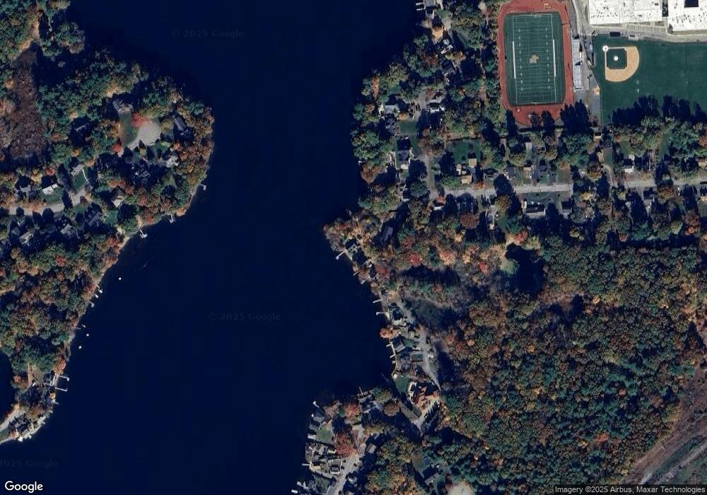
Map
Nearby Homes
- 131 Creek St Unit 7
- 10 Nature View Dr
- 15 Nature View Dr
- 570 Franklin St
- 11 Earle Stewart Ln
- Lot 3 - 14 Earle Stewart Ln
- Lot 1 - Blueberry 2 Car Plan at King Philip Estates
- Lot 8 - Blueberry 2 Car Plan at King Philip Estates
- Lot 5 - Hughes 2 car Plan at King Philip Estates
- Lot 6 - Blueberry 3 Car Plan at King Philip Estates
- Lot 2 - Camden 2 Car Plan at King Philip Estates
- Lot 7 - Cedar Plan at King Philip Estates
- Lot 4 - Hemingway 2 Car Plan at King Philip Estates
- Lot 3 - Blueberry 2 Car Plan at King Philip Estates
- 270 Dedham St
- 1 Lorraine Metcalf Dr
- 319 Taunton St
- 50 Reed Fulton Ave Unit Lot 61
- 362 East St
- 155 Clark Rd Unit 155