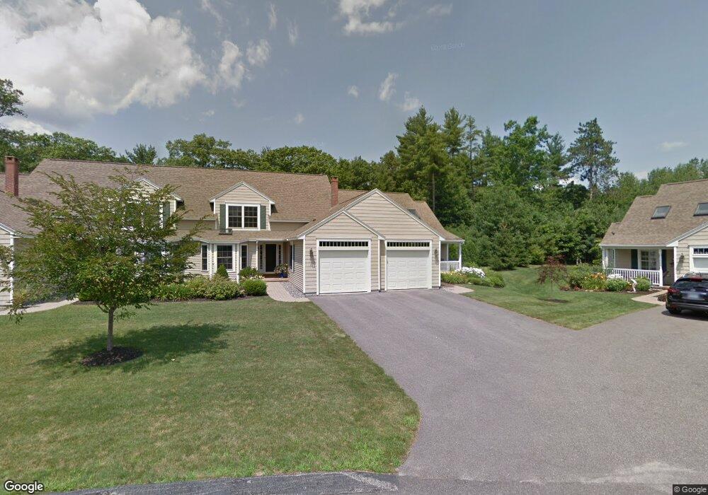
9 Lancaster Ct Unit 13 Kennebunk, ME 04043
Estimated Value: $501,000 - $570,000
2
Beds
3
Baths
1,797
Sq Ft
$306/Sq Ft
Est. Value
About This Home
This home is located at 9 Lancaster Ct Unit 13, Kennebunk, ME 04043 and is currently estimated at $550,119, approximately $306 per square foot. 9 Lancaster Ct Unit 13 is a home located in York County with nearby schools including Kennebunk High School and The New School.
Ownership History
Date
Name
Owned For
Owner Type
Purchase Details
Closed on
Apr 8, 2022
Sold by
Upton Shirley
Bought by
Binette Kathleen V
Current Estimated Value
Home Financials for this Owner
Home Financials are based on the most recent Mortgage that was taken out on this home.
Original Mortgage
$384,800
Outstanding Balance
$355,488
Interest Rate
3.89%
Mortgage Type
Purchase Money Mortgage
Estimated Equity
$194,631
Purchase Details
Closed on
Apr 1, 2008
Sold by
Kasprzak Builders Inc
Bought by
Upton Shirley
Create a Home Valuation Report for This Property
The Home Valuation Report is an in-depth analysis detailing your home's value as well as a comparison with similar homes in the area
Home Values in the Area
Average Home Value in this Area
Purchase History
We collect this data history from publicly available records. To have your information removed, we recommend requesting removal directly through your county’s website.
| Date | Buyer | Sale Price | Title Company |
|---|---|---|---|
| Binette Kathleen V | $481,000 | None Available | |
| Upton Shirley | -- | -- |
Source: Public Records
Mortgage History
We collect this data history from publicly available records. To have your information removed, we recommend requesting removal directly through your county’s website.
| Date | Status | Borrower | Loan Amount |
|---|---|---|---|
| Open | Binette Kathleen V | $384,800 |
Source: Public Records
Tax History
| Year | Tax Paid | Tax Assessment Tax Assessment Total Assessment is a certain percentage of the fair market value that is determined by local assessors to be the total taxable value of land and additions on the property. | Land | Improvement |
|---|---|---|---|---|
| 2025 | $5,744 | $583,100 | $231,200 | $351,900 |
| 2024 | $6,041 | $356,400 | $90,700 | $265,700 |
| 2023 | $5,720 | $356,400 | $90,700 | $265,700 |
| 2022 | $5,203 | $356,400 | $90,700 | $265,700 |
| 2021 | $5,079 | $356,400 | $90,700 | $265,700 |
| 2020 | $4,689 | $356,400 | $90,700 | $265,700 |
| 2019 | $4,901 | $356,400 | $90,700 | $265,700 |
| 2018 | $4,678 | $267,300 | $68,000 | $199,300 |
| 2017 | $4,142 | $267,300 | $68,000 | $199,300 |
| 2016 | $4,250 | $267,300 | $68,000 | $199,300 |
| 2015 | $3,944 | $267,300 | $68,000 | $199,300 |
| 2014 | $3,841 | $267,300 | $68,000 | $199,300 |
Source: Public Records
Map
Nearby Homes
- 63 Shiretowne Common Dr Unit 22
- 16 Dunnhill Dr Unit 26
- 3 Nichols Ln
- 14 Hampton Glen Dr Unit 51
- 29 Hampton Glen Dr Unit 10
- 3 Kensington Dr
- 7 Cambridge Ct
- 33 Stratford Place Unit 33
- 66 Stratford Place Unit 41
- 23 Cascade Cir Unit 22
- 2 Lexington Dr Unit 2
- 10 Lexington Dr Unit 9
- 28 Intervale Rd
- 19 Old Alewive Rd
- 115 Fletcher St
- 18 Garrison Oaks Dr
- 3 Chestnut Ln
- 15 Casey Ln
- 1 Spinnaker Way
- 3 Hardwood Ln
- 9 Lancaster Ct
- 11 Lancaster Ct
- 11 Lancaster Ct Unit 14
- 15 Lancaster Ct
- 17 Lancaster Ct
- 17 Lancaster Ct Unit 16
- 7 Lancaster Ct
- 7 Lancaster Ct Unit 12
- 27 Shiretowne Common Unit 27
- 25 Shiretowne Common Unit 25
- 24 Shiretowne Common Unit 24
- 5 Lancaster Ct
- 3 Lancaster Ct
- 3 Lancaster Ct Unit 14
- 1 Lancaster Ct
- 1 Lancaster Ct Unit 9
- 51 Shiretowne Common Dr
- 51 Shiretowne Common Dr Unit 17
- 53 Shiretowne Common Dr
- 53 Shiretowne Common Dr Unit 53
Your Personal Tour Guide
Ask me questions while you tour the home.