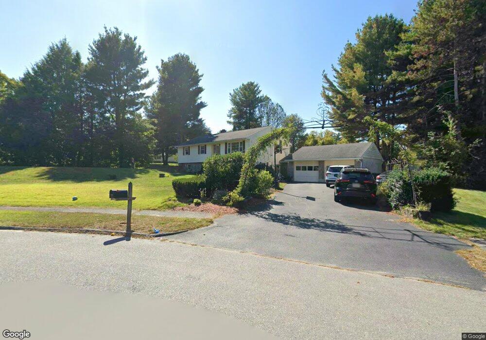
9 Lancaster Meadows West Boylston, MA 01583
Estimated Value: $581,000 - $731,000
4
Beds
3
Baths
1,590
Sq Ft
$400/Sq Ft
Est. Value
About This Home
This home is located at 9 Lancaster Meadows, West Boylston, MA 01583 and is currently estimated at $635,230, approximately $399 per square foot. 9 Lancaster Meadows is a home located in Worcester County with nearby schools including Major Edwards Elementary School and West Boylston Junior/Senior High School.
Ownership History
Date
Name
Owned For
Owner Type
Purchase Details
Closed on
Dec 28, 2007
Sold by
Oconnor Maria and Oconnor Michael J
Bought by
Demember John A and Demember Nicole M
Current Estimated Value
Home Financials for this Owner
Home Financials are based on the most recent Mortgage that was taken out on this home.
Original Mortgage
$222,000
Outstanding Balance
$140,932
Interest Rate
6.27%
Mortgage Type
Purchase Money Mortgage
Estimated Equity
$494,298
Create a Home Valuation Report for This Property
The Home Valuation Report is an in-depth analysis detailing your home's value as well as a comparison with similar homes in the area
Home Values in the Area
Average Home Value in this Area
Purchase History
| Date | Buyer | Sale Price | Title Company |
|---|---|---|---|
| Demember John A | $310,000 | -- |
Source: Public Records
Mortgage History
| Date | Status | Borrower | Loan Amount |
|---|---|---|---|
| Open | Demember John A | $222,000 |
Source: Public Records
Tax History Compared to Growth
Tax History
| Year | Tax Paid | Tax Assessment Tax Assessment Total Assessment is a certain percentage of the fair market value that is determined by local assessors to be the total taxable value of land and additions on the property. | Land | Improvement |
|---|---|---|---|---|
| 2025 | $83 | $599,400 | $131,800 | $467,600 |
| 2024 | $7,662 | $518,400 | $134,000 | $384,400 |
| 2023 | $7,262 | $466,100 | $131,800 | $334,300 |
| 2022 | $7,104 | $401,800 | $131,800 | $270,000 |
| 2021 | $5,814 | $364,400 | $109,100 | $255,300 |
| 2020 | $5,753 | $356,300 | $109,100 | $247,200 |
| 2019 | $6,471 | $343,300 | $109,100 | $234,200 |
| 2018 | $5,150 | $303,100 | $109,100 | $194,000 |
| 2017 | $5,390 | $286,700 | $109,100 | $177,600 |
| 2016 | $4,932 | $267,300 | $101,700 | $165,600 |
| 2015 | $4,757 | $259,400 | $100,900 | $158,500 |
Source: Public Records
Map
Nearby Homes
- 136 Sterling St Unit A3
- 101 Sterling St
- 12 Winthrop St
- 20 Winthrop St
- 21 Myrtle Ave
- 2 Lakeview Ave
- 16 N Main St
- 112 N Main St
- 26 Townsend Dr
- 113 Newton St
- 0 Boutelle Rd
- 223 Worcester Rd
- 152 Worcester St Unit 8
- 61 Boutelle Rd
- 39 Bowen St
- 156 Prospect St
- 62 Maple St
- 1 Harmony Ln Unit 4
- 2 Harmony Ln Unit 1
- 20 Woodside Dr
- 15 Lancaster Meadows
- 237 Lancaster St
- 16 Lancaster Meadows
- 235 Lancaster St
- 243 Lancaster St
- 21 Lancaster Meadows
- 231 Lancaster St
- 12 Lancaster Meadows
- 20 Lancaster Meadows
- 6 Lancaster Meadows
- 225 Lancaster St
- 232 Lancaster St
- 25 Lancaster Meadows
- 228 Lancaster St
- 26 Lancaster Meadows
- 30 Lancaster Meadows
- 222 Lancaster St
- 14 Fairbanks St
- 23 Fairbanks St
- 21 Fairbanks St