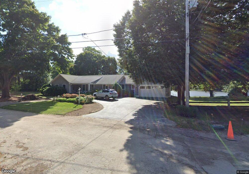
9 Lantern Ln Falmouth, MA 02540
Falmouth Village NeighborhoodEstimated Value: $1,027,000 - $1,121,000
2
Beds
3
Baths
1,916
Sq Ft
$555/Sq Ft
Est. Value
About This Home
This home is located at 9 Lantern Ln, Falmouth, MA 02540 and is currently estimated at $1,063,794, approximately $555 per square foot. 9 Lantern Ln is a home located in Barnstable County with nearby schools including Mullen-Hall School, Lawrence School, and Morse Pond School.
Ownership History
Date
Name
Owned For
Owner Type
Purchase Details
Closed on
Aug 16, 2022
Sold by
Cavicchio Richard S and Rizzi Corinna L
Bought by
Cr Lantern Lane Llc
Current Estimated Value
Purchase Details
Closed on
Aug 25, 2009
Sold by
Elizabeth M Blocker Re and Munson
Bought by
Cavicchio Richard S and Rizzi Corinna L
Create a Home Valuation Report for This Property
The Home Valuation Report is an in-depth analysis detailing your home's value as well as a comparison with similar homes in the area
Home Values in the Area
Average Home Value in this Area
Purchase History
| Date | Buyer | Sale Price | Title Company |
|---|---|---|---|
| Cr Lantern Lane Llc | -- | None Available | |
| Cr Lantern Lane Llc | -- | None Available | |
| Cavicchio Richard S | $435,000 | -- | |
| Cavicchio Richard S | $435,000 | -- |
Source: Public Records
Tax History Compared to Growth
Tax History
| Year | Tax Paid | Tax Assessment Tax Assessment Total Assessment is a certain percentage of the fair market value that is determined by local assessors to be the total taxable value of land and additions on the property. | Land | Improvement |
|---|---|---|---|---|
| 2025 | $5,212 | $887,900 | $428,800 | $459,100 |
| 2024 | $5,059 | $805,500 | $389,800 | $415,700 |
| 2023 | $4,628 | $668,800 | $311,900 | $356,900 |
| 2022 | $4,527 | $562,300 | $258,200 | $304,100 |
| 2021 | $4,437 | $522,000 | $247,000 | $275,000 |
| 2020 | $4,291 | $499,500 | $224,500 | $275,000 |
| 2019 | $4,171 | $487,300 | $224,500 | $262,800 |
| 2018 | $3,995 | $464,500 | $224,500 | $240,000 |
| 2017 | $3,583 | $420,100 | $224,500 | $195,600 |
| 2016 | $3,516 | $420,100 | $224,500 | $195,600 |
| 2015 | $3,432 | $419,000 | $224,500 | $194,500 |
| 2014 | $3,415 | $419,000 | $224,700 | $194,300 |
Source: Public Records
Map
Nearby Homes
- 480 Main St Unit 1
- 110 Dillingham Ave Unit 322
- 110 Dillingham Ave Unit 224
- 22 Alma Rd
- 253 Scranton Ave
- 55 Jericho Path
- 65 Walker St
- 98 Main St
- 98 Main St Unit 1
- 30 Katherine Lee Bates Rd
- 71 Main St
- 33 Oakwood Ave
- 354 Gifford St Unit 5
- 354 Gifford St Unit 2
- 354 Gifford St Unit 6
- 37 Rydal Mount Dr
- 9 Fairmount Ave Unit 1
- 9 Fairmount Ave
- 286 Grand Ave Unit 6