9 Larkspur Way Ellsworth, ME 04605
Estimated Value: $383,030 - $473,000
3
Beds
2
Baths
2,134
Sq Ft
$207/Sq Ft
Est. Value
About This Home
This home is located at 9 Larkspur Way, Ellsworth, ME 04605 and is currently estimated at $442,508, approximately $207 per square foot. 9 Larkspur Way is a home located in Hancock County with nearby schools including Sumner Memorial High School.
Ownership History
Date
Name
Owned For
Owner Type
Purchase Details
Closed on
Oct 24, 2019
Sold by
Toothaker Jeffrey C and Toothaker Chong
Bought by
Taylor Corey M
Current Estimated Value
Home Financials for this Owner
Home Financials are based on the most recent Mortgage that was taken out on this home.
Original Mortgage
$169,750
Outstanding Balance
$149,313
Interest Rate
3.7%
Mortgage Type
New Conventional
Estimated Equity
$293,195
Create a Home Valuation Report for This Property
The Home Valuation Report is an in-depth analysis detailing your home's value as well as a comparison with similar homes in the area
Home Values in the Area
Average Home Value in this Area
Purchase History
| Date | Buyer | Sale Price | Title Company |
|---|---|---|---|
| Taylor Corey M | -- | -- |
Source: Public Records
Mortgage History
| Date | Status | Borrower | Loan Amount |
|---|---|---|---|
| Open | Taylor Corey M | $169,750 |
Source: Public Records
Tax History Compared to Growth
Tax History
| Year | Tax Paid | Tax Assessment Tax Assessment Total Assessment is a certain percentage of the fair market value that is determined by local assessors to be the total taxable value of land and additions on the property. | Land | Improvement |
|---|---|---|---|---|
| 2024 | $5,356 | $306,960 | $32,760 | $274,200 |
| 2023 | $4,783 | $276,460 | $31,395 | $245,065 |
| 2022 | $4,340 | $276,460 | $31,395 | $245,065 |
| 2021 | $4,003 | $222,000 | $27,300 | $194,700 |
| 2020 | $4,135 | $220,300 | $27,300 | $193,000 |
| 2019 | $4,144 | $220,300 | $27,300 | $193,000 |
| 2018 | $4,018 | $220,300 | $27,300 | $193,000 |
| 2017 | $3,925 | $218,400 | $27,300 | $191,100 |
| 2016 | $3,946 | $223,200 | $32,100 | $191,100 |
| 2015 | $3,981 | $224,900 | $33,800 | $191,100 |
| 2014 | $3,700 | $224,900 | $33,800 | $191,100 |
| 2012 | $3,472 | $224,700 | $33,800 | $190,900 |
Source: Public Records
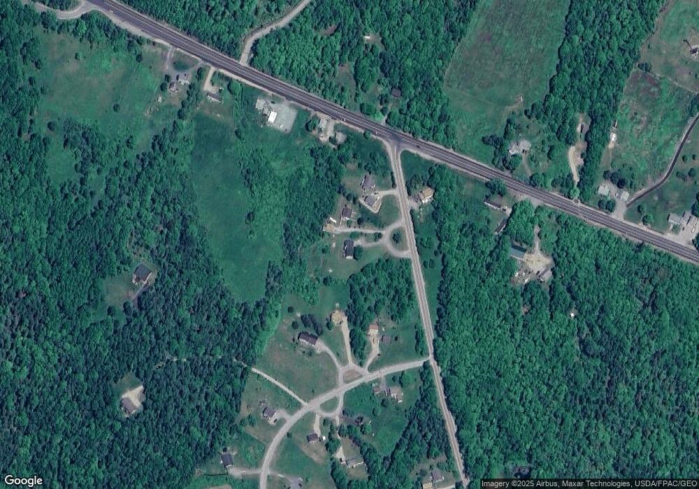
Map
Nearby Homes
- Lot 48-2-8 Mayflower Way
- 1101
- 104 N Bend Rd
- Lot 1-7 Manhattan Way
- 36 Addie Rd
- 4 Addie Rd
- 19 Benton Way
- 755 Bucksport Rd
- 184 Twin Hill Rd
- M035L11-14 Lord Ave
- 664 Bucksport Rd
- 38 Travis Ct
- Lot #1 Bucksport Rd
- 00 Bucksport Rd
- 928 Red Bridge Rd
- 428 Bangor Rd
- 0 Bangor Rd
- 403 Bangor Rd
- 498 Bangor Rd
- 221 Bucksport Rd
- 5 Larkspur Way
- 3 Indigo Way
- lot 4 Larspur Ln
- Lot 4 Larkspur
- 7 Indigo Way
- 5 Mayflower Way
- 7 N Bend Rd
- 936 Bucksport Rd
- 48-2-9 Mayflower Way
- 8 N Bend Rd
- Lot 48-2 Mayflower Way
- 0 Mayflower Way Unit 39 b 21840402
- 0 Mayflower Drive Lot 10
- 0 Mayflower Drive Lot 8
- 0 Mayflower Drive Lot 7
- 0 Mayflower Drive Lot 6
- 0 Mayflower Drive Lot 5
- 0 Mayflower Drive Lot 4
- 0 Mayflower Drive Lot 3
- 0 Mayflower Drive Lot 1