9 Lawrence Ave Unit WEEKLY Westport, MA 02790
Westport Point NeighborhoodEstimated Value: $1,305,000 - $1,693,000
3
Beds
3
Baths
2,647
Sq Ft
$561/Sq Ft
Est. Value
About This Home
This home is located at 9 Lawrence Ave Unit WEEKLY, Westport, MA 02790 and is currently estimated at $1,485,255, approximately $561 per square foot. 9 Lawrence Ave Unit WEEKLY is a home located in Bristol County with nearby schools including Alice A. Macomber Primary School, Westport Elementary School, and Westport Middle-High School.
Ownership History
Date
Name
Owned For
Owner Type
Purchase Details
Closed on
Aug 26, 1994
Sold by
Flechsig Vaughn M
Bought by
Baron Charles H and Baron Dianne M
Current Estimated Value
Create a Home Valuation Report for This Property
The Home Valuation Report is an in-depth analysis detailing your home's value as well as a comparison with similar homes in the area
Home Values in the Area
Average Home Value in this Area
Purchase History
| Date | Buyer | Sale Price | Title Company |
|---|---|---|---|
| Baron Charles H | $182,500 | -- | |
| Baron Charles H | $182,500 | -- |
Source: Public Records
Mortgage History
| Date | Status | Borrower | Loan Amount |
|---|---|---|---|
| Open | Baron Charles H | $305,000 | |
| Closed | Baron Charles H | $315,464 | |
| Closed | Baron Charles H | $350,000 |
Source: Public Records
Tax History Compared to Growth
Tax History
| Year | Tax Paid | Tax Assessment Tax Assessment Total Assessment is a certain percentage of the fair market value that is determined by local assessors to be the total taxable value of land and additions on the property. | Land | Improvement |
|---|---|---|---|---|
| 2025 | $7,748 | $1,040,000 | $607,200 | $432,800 |
| 2024 | $7,371 | $953,600 | $529,900 | $423,700 |
| 2023 | $7,195 | $881,800 | $473,500 | $408,300 |
| 2022 | $5,739 | $784,800 | $423,700 | $361,100 |
| 2021 | $5,739 | $665,800 | $368,100 | $297,700 |
| 2020 | $5,489 | $651,100 | $353,400 | $297,700 |
| 2019 | $5,254 | $635,300 | $337,100 | $298,200 |
| 2018 | $5,252 | $642,800 | $303,900 | $338,900 |
| 2017 | $5,347 | $670,900 | $303,900 | $367,000 |
| 2016 | $5,543 | $700,800 | $309,800 | $391,000 |
| 2015 | $5,096 | $642,600 | $309,800 | $332,800 |
Source: Public Records
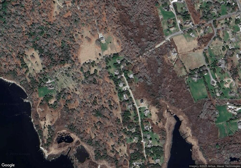
Map
Nearby Homes
- 1881 Main Rd
- 1702J Drift Rd
- 1702 Drift Rd
- 1580 Main Rd
- 0 Reed Rd (Ss)
- 19 Seabury Ln
- 1346 Main Rd Unit B
- 189 Brayton Point Rd
- 99 Sylvia Ln
- 304 Brayton Point Rd
- 255 John Dyer Rd
- 245 John Dyer Rd
- 238-242 E Beach Rd
- 17 Quail Trail
- 225 Hixbridge Rd
- 920 Drift Rd
- Lot 2 Horseneck Rd
- 101 Adamsville Rd
- 505 Long Hwy
- 116 Amy Hart Path
- 9 Lawrence Ave
- 15 Lawrence Ave
- 22 Lawrence Ave
- 10 Lawrence Ave
- 57 Cape Bial Ln
- 23 Lawrence Ave
- 18 Lawrence Ave
- 39 Lawrence Ave
- 38 Lawrence Ave
- 43 Lawrence Ave Unit Weekly
- 43 Lawrence Ave Unit 1
- 43 Lawrence Ave
- 43 Lawrence Ave
- 43 Lawrence Ave Unit SUMMER WEEK
- 44 Lawrence Ave
- 46 Cape Bial Ln
- 48 Lawrence Ave
- 48 Lawrence Ave
- 49 Lawrence Ave
- 1789B Main Rd