9 Lawtons Way Westborough, MA 01581
Estimated Value: $522,000 - $743,000
3
Beds
2
Baths
1,368
Sq Ft
$428/Sq Ft
Est. Value
About This Home
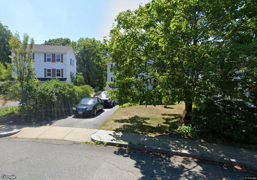
This home is located at 9 Lawtons Way, Westborough, MA 01581 and is currently estimated at $585,450, approximately $427 per square foot. 9 Lawtons Way is a home located in Worcester County with nearby schools including Westborough High School, Westboro Knowledge Beginnings, and Ebridge Montessori School.
Ownership History
Date
Name
Owned For
Owner Type
Purchase Details
Closed on
Jul 1, 2009
Sold by
Walcott Susan L
Bought by
Walcott Susan L and Walcott Stephen F
Current Estimated Value
Home Financials for this Owner
Home Financials are based on the most recent Mortgage that was taken out on this home.
Original Mortgage
$140,000
Outstanding Balance
$89,261
Interest Rate
4.86%
Mortgage Type
Purchase Money Mortgage
Estimated Equity
$496,189
Purchase Details
Closed on
Feb 4, 1993
Sold by
North Hill Homes Rt and Mcbride John
Bought by
Walcott Stephen F and Walcott Susan
Home Financials for this Owner
Home Financials are based on the most recent Mortgage that was taken out on this home.
Original Mortgage
$15,582
Interest Rate
8.1%
Mortgage Type
Purchase Money Mortgage
Create a Home Valuation Report for This Property
The Home Valuation Report is an in-depth analysis detailing your home's value as well as a comparison with similar homes in the area
Home Values in the Area
Average Home Value in this Area
Purchase History
| Date | Buyer | Sale Price | Title Company |
|---|---|---|---|
| Walcott Susan L | -- | -- | |
| Walcott Susan L | -- | -- | |
| Walcott Stephen F | $95,000 | -- |
Source: Public Records
Mortgage History
| Date | Status | Borrower | Loan Amount |
|---|---|---|---|
| Open | Walcott Susan L | $140,000 | |
| Closed | Walcott Susan L | $140,000 | |
| Previous Owner | Walcott Stephen F | $125,000 | |
| Previous Owner | Walcott Stephen F | $15,582 | |
| Previous Owner | Walcott Stephen F | $90,250 | |
| Closed | Walcott Stephen F | $4,000 |
Source: Public Records
Tax History Compared to Growth
Tax History
| Year | Tax Paid | Tax Assessment Tax Assessment Total Assessment is a certain percentage of the fair market value that is determined by local assessors to be the total taxable value of land and additions on the property. | Land | Improvement |
|---|---|---|---|---|
| 2025 | $6,241 | $383,100 | $213,700 | $169,400 |
| 2024 | $5,729 | $349,100 | $189,900 | $159,200 |
| 2023 | $5,584 | $331,600 | $179,100 | $152,500 |
| 2022 | $5,262 | $284,600 | $151,500 | $133,100 |
| 2021 | $3,290 | $278,000 | $144,900 | $133,100 |
| 2020 | $3,068 | $262,700 | $133,000 | $129,700 |
| 2019 | $4,575 | $249,600 | $134,400 | $115,200 |
| 2018 | $3,051 | $232,400 | $129,100 | $103,300 |
| 2017 | $4,137 | $232,400 | $129,100 | $103,300 |
| 2016 | $3,888 | $218,800 | $118,500 | $100,300 |
| 2015 | $3,688 | $198,400 | $105,400 | $93,000 |
Source: Public Records
Map
Nearby Homes
- 8 Stagecoach Cir Unit 8
- 59 Indian Meadow Dr
- 155 Milk St Unit 5
- 196 -198 Turnpike Rd
- 9 Shaker Way
- 52 Treetop Park Unit 52
- 3 Dover Way
- 22 Treetop Park
- 9 Treetop Park
- 19 Treetop Park Unit 19
- 349 Brigham St
- 1 Hamilton Rd
- 5 Chauncy Cir
- 223 South St
- 11 Hillside Rd
- 198 South St
- 185-187 South St
- 14 Mayberry Dr Unit 10
- 7 Mayberry Dr Unit H
- 19 Fisher St