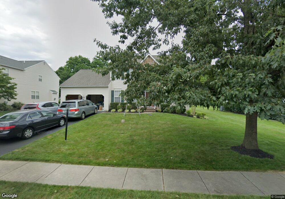
9 Lea Dr Chadds Ford, PA 19317
Concord NeighborhoodEstimated Value: $807,000 - $864,000
4
Beds
3
Baths
2,698
Sq Ft
$306/Sq Ft
Est. Value
About This Home
This home is located at 9 Lea Dr, Chadds Ford, PA 19317 and is currently estimated at $825,925, approximately $306 per square foot. 9 Lea Dr is a home located in Delaware County with nearby schools including Garnet Valley High School, St Cornelius School, and Concord Christian Academy.
Ownership History
Date
Name
Owned For
Owner Type
Purchase Details
Closed on
Jan 14, 2000
Sold by
Fay Development Company Inc
Bought by
Lin Willington and Lin Margaret M C
Current Estimated Value
Home Financials for this Owner
Home Financials are based on the most recent Mortgage that was taken out on this home.
Original Mortgage
$240,000
Outstanding Balance
$76,197
Interest Rate
7.83%
Mortgage Type
Purchase Money Mortgage
Estimated Equity
$749,728
Create a Home Valuation Report for This Property
The Home Valuation Report is an in-depth analysis detailing your home's value as well as a comparison with similar homes in the area
Home Values in the Area
Average Home Value in this Area
Purchase History
| Date | Buyer | Sale Price | Title Company |
|---|---|---|---|
| Lin Willington | $288,294 | Commonwealth Land Title Ins |
Source: Public Records
Mortgage History
| Date | Status | Borrower | Loan Amount |
|---|---|---|---|
| Open | Lin Willington | $240,000 |
Source: Public Records
Tax History
| Year | Tax Paid | Tax Assessment Tax Assessment Total Assessment is a certain percentage of the fair market value that is determined by local assessors to be the total taxable value of land and additions on the property. | Land | Improvement |
|---|---|---|---|---|
| 2025 | $11,415 | $501,370 | $151,450 | $349,920 |
| 2024 | $11,415 | $501,370 | $151,450 | $349,920 |
| 2023 | $11,130 | $501,370 | $151,450 | $349,920 |
| 2022 | $11,007 | $501,370 | $151,450 | $349,920 |
| 2021 | $18,508 | $501,370 | $151,450 | $349,920 |
| 2020 | $9,447 | $239,090 | $239,090 | $0 |
| 2019 | $9,308 | $239,090 | $239,090 | $0 |
| 2018 | $9,165 | $239,090 | $0 | $0 |
| 2017 | $8,978 | $239,090 | $0 | $0 |
| 2016 | $1,312 | $239,090 | $0 | $0 |
| 2015 | $1,339 | $239,090 | $0 | $0 |
| 2014 | $1,312 | $239,090 | $0 | $0 |
Source: Public Records
Map
Nearby Homes
- 3744 Mayfield Ln
- 2302 Century Ln Unit 2302
- 2604 Century Ln Unit 2604
- 233 Sulky Way
- 43 Sharpley Dr
- 204 Sulky Way
- 136 Trotters Lea Ln
- 136A State Line Rd
- 312 Winterset Rd
- 236 Horseshoe Dr
- 309 Delta Rd Unit 166
- 604 Canter Rd Unit 150
- 118 Echo Rd Unit 213
- 507 Canter Rd
- 519 Canter Rd Unit 133
- 20 Winterset Rd
- 86 Summit Ave
- 116 Landis Way N Unit 116
- 720 Berry Rd Unit 95
- 1078 Smithbridge Rd
Your Personal Tour Guide
Ask me questions while you tour the home.