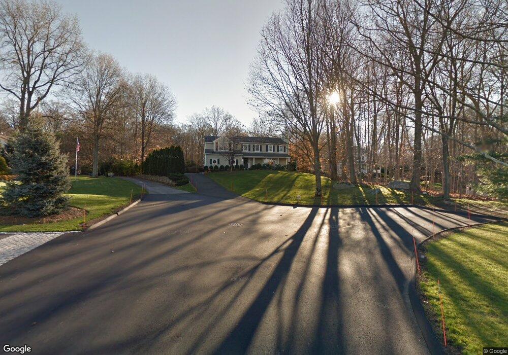
9 Leeds Ln Darien, CT 06820
Estimated Value: $1,554,000 - $2,159,000
4
Beds
4
Baths
3,066
Sq Ft
$639/Sq Ft
Est. Value
About This Home
This home is located at 9 Leeds Ln, Darien, CT 06820 and is currently estimated at $1,959,903, approximately $639 per square foot. 9 Leeds Ln is a home located in Fairfield County with nearby schools including Ox Ridge Elementary School, Middlesex Middle School, and Darien High School.
Ownership History
Date
Name
Owned For
Owner Type
Purchase Details
Closed on
Apr 30, 1999
Sold by
Abate Anthony M and Abate Anna M
Bought by
Holek Charles E and Holek Meleisa L
Current Estimated Value
Purchase Details
Closed on
Oct 21, 1996
Sold by
Quinn Christopher J and Quinn Ana M
Bought by
Abate Anthony M and Abate Anna M
Purchase Details
Closed on
Jun 23, 1993
Sold by
Creative Prop Acquisit
Bought by
Quinn Christopher and Rios Ana
Create a Home Valuation Report for This Property
The Home Valuation Report is an in-depth analysis detailing your home's value as well as a comparison with similar homes in the area
Home Values in the Area
Average Home Value in this Area
Purchase History
| Date | Buyer | Sale Price | Title Company |
|---|---|---|---|
| Holek Charles E | $570,000 | -- | |
| Abate Anthony M | $473,358 | -- | |
| Quinn Christopher | $465,000 | -- |
Source: Public Records
Mortgage History
| Date | Status | Borrower | Loan Amount |
|---|---|---|---|
| Open | Quinn Christopher | $360,000 | |
| Closed | Quinn Christopher | $500,000 |
Source: Public Records
Tax History Compared to Growth
Tax History
| Year | Tax Paid | Tax Assessment Tax Assessment Total Assessment is a certain percentage of the fair market value that is determined by local assessors to be the total taxable value of land and additions on the property. | Land | Improvement |
|---|---|---|---|---|
| 2025 | $16,405 | $1,059,730 | $439,600 | $620,130 |
| 2024 | $15,567 | $1,059,730 | $439,600 | $620,130 |
| 2023 | $15,032 | $853,580 | $338,170 | $515,410 |
| 2022 | $14,707 | $853,580 | $338,170 | $515,410 |
| 2021 | $14,374 | $853,580 | $338,170 | $515,410 |
| 2020 | $13,965 | $853,580 | $338,170 | $515,410 |
| 2019 | $14,058 | $853,580 | $338,170 | $515,410 |
| 2018 | $12,505 | $777,700 | $320,180 | $457,520 |
| 2017 | $12,568 | $777,700 | $320,180 | $457,520 |
| 2016 | $12,264 | $777,700 | $320,180 | $457,520 |
| 2015 | $11,938 | $777,700 | $320,180 | $457,520 |
| 2014 | $11,673 | $777,700 | $320,180 | $457,520 |
Source: Public Records
Map
Nearby Homes
- 865 Hollow Tree Ridge Rd
- 358 Hoyt St
- 139 Jelliff Mill Rd
- 32 Kensett Ln Unit 32
- 72 Kensett Ln
- 1552 Hope St
- 39 Woodway Rd Unit C7
- 561 Middlesex Rd
- 109 Stephen Mather Rd
- 19 Woodway Rd Unit 14
- 95 Columbus Place Unit 6
- 41 Wakemore St
- 77 Putter Dr
- 16 Columbus Place
- 17 Oenoke Place
- 23 Oenoke Place
- 39 Running Brook Ln
- 11 Old Oak Rd
- 1157 Hope St
- 202 Weed St