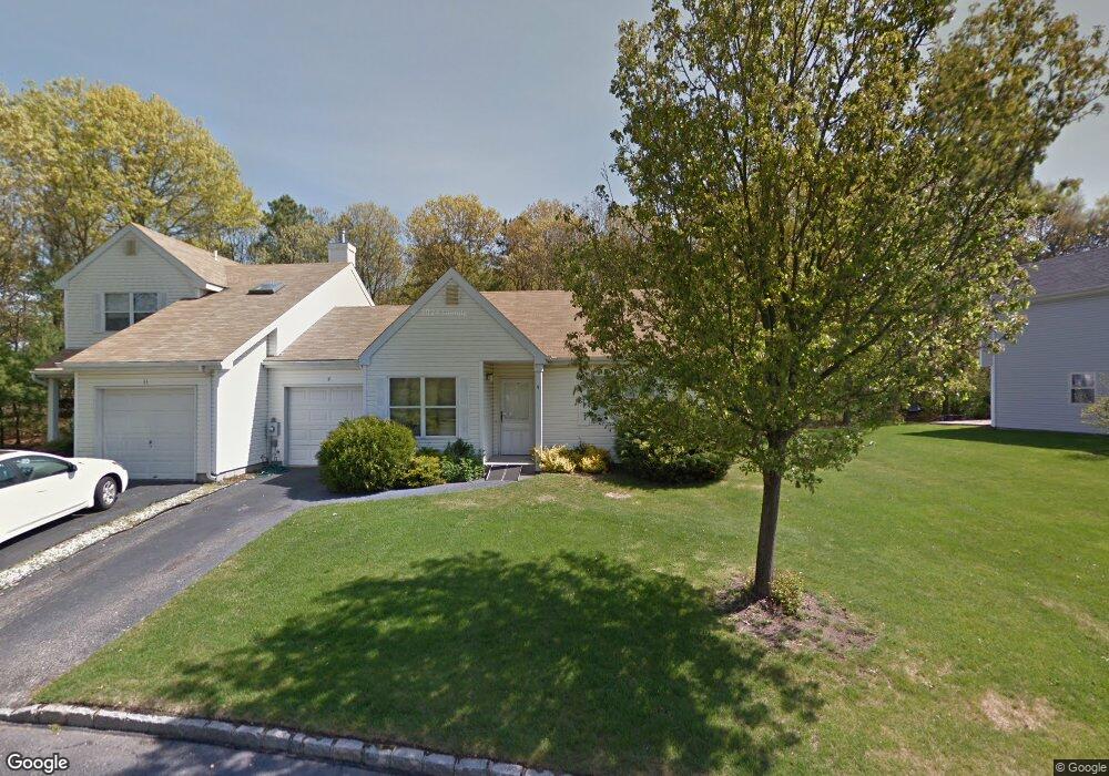
9 Lindsey Ct Holtsville, NY 11742
Estimated Value: $481,416 - $537,000
2
Beds
1
Bath
--
Sq Ft
4,356
Sq Ft Lot
About This Home
This home is located at 9 Lindsey Ct, Holtsville, NY 11742 and is currently estimated at $509,139. 9 Lindsey Ct is a home located in Suffolk County with nearby schools including Tamarac Elementary School, Sachem High School East, and Long Island Baptist Academy.
Ownership History
Date
Name
Owned For
Owner Type
Purchase Details
Closed on
Dec 11, 2014
Sold by
County Of Suffolk
Bought by
Rogers Joslyn W
Current Estimated Value
Home Financials for this Owner
Home Financials are based on the most recent Mortgage that was taken out on this home.
Original Mortgage
$142,000
Interest Rate
3.83%
Mortgage Type
New Conventional
Purchase Details
Closed on
Feb 14, 2014
Sold by
Carpenter Angie M
Bought by
County Of Suffolk
Purchase Details
Closed on
Feb 17, 2007
Create a Home Valuation Report for This Property
The Home Valuation Report is an in-depth analysis detailing your home's value as well as a comparison with similar homes in the area
Home Values in the Area
Average Home Value in this Area
Purchase History
| Date | Buyer | Sale Price | Title Company |
|---|---|---|---|
| Rogers Joslyn W | $18,893 | None Available | |
| County Of Suffolk | -- | -- | |
| -- | -- | -- |
Source: Public Records
Mortgage History
| Date | Status | Borrower | Loan Amount |
|---|---|---|---|
| Previous Owner | Rogers Joslyn W | $142,000 |
Source: Public Records
Tax History Compared to Growth
Tax History
| Year | Tax Paid | Tax Assessment Tax Assessment Total Assessment is a certain percentage of the fair market value that is determined by local assessors to be the total taxable value of land and additions on the property. | Land | Improvement |
|---|---|---|---|---|
| 2024 | $6,067 | $24,200 | $7,600 | $16,600 |
| 2023 | $6,067 | $24,200 | $7,600 | $16,600 |
| 2022 | $3,766 | $24,200 | $7,600 | $16,600 |
| 2021 | $3,766 | $24,200 | $7,600 | $16,600 |
| 2020 | $5,604 | $24,200 | $7,600 | $16,600 |
| 2019 | $5,604 | $0 | $0 | $0 |
| 2018 | -- | $24,200 | $7,600 | $16,600 |
| 2017 | $5,355 | $24,200 | $7,600 | $16,600 |
| 2016 | $7,214 | $24,200 | $7,600 | $16,600 |
| 2015 | -- | $24,200 | $7,600 | $16,600 |
| 2014 | -- | $24,200 | $7,600 | $16,600 |
Source: Public Records
Map
Nearby Homes
- 18 Lindsey Ct
- 23 Storm Dr
- 286 Storm Dr
- 283 Storm Dr
- 257 Storm Dr
- 89 Storm Dr
- 220 Storm Dr
- 219 Storm Dr
- 119 Storm Dr
- 139 Storm Dr
- 270 Singingwood Dr
- 146 Blue Point Rd W
- 80 Burleigh Dr
- 89 Live Oak Dr
- 46 Blue Point Rd E
- 76 Blueberry Ridge Dr
- 185 14th Ave
- 3 Timber Ridge Dr
- 31 Fallen Leaf Rd
- 19 Hampshire Ct