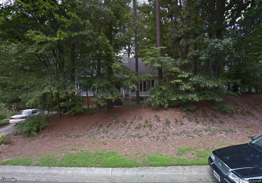
9 Linganore Place Durham, NC 27707
Estimated Value: $371,000 - $517,000
3
Beds
2
Baths
1,756
Sq Ft
$243/Sq Ft
Est. Value
About This Home
This home is located at 9 Linganore Place, Durham, NC 27707 and is currently estimated at $426,273, approximately $242 per square foot. 9 Linganore Place is a home located in Durham County with nearby schools including C. C. Spaulding Elementary, Morehead Montessori, and Sherwood Githens Middle.
Ownership History
Date
Name
Owned For
Owner Type
Purchase Details
Closed on
Feb 24, 2003
Sold by
Timmons Robert B and Timmons Juanita B
Bought by
Timmons Marianna
Current Estimated Value
Home Financials for this Owner
Home Financials are based on the most recent Mortgage that was taken out on this home.
Original Mortgage
$98,150
Interest Rate
5.95%
Create a Home Valuation Report for This Property
The Home Valuation Report is an in-depth analysis detailing your home's value as well as a comparison with similar homes in the area
Purchase History
We collect this data history from publicly available records. To have your information removed, we recommend requesting removal directly through your county’s website.
| Date | Buyer | Sale Price | Title Company |
|---|---|---|---|
| Timmons Marianna | -- | -- |
Source: Public Records
Mortgage History
We collect this data history from publicly available records. To have your information removed, we recommend requesting removal directly through your county’s website.
| Date | Status | Borrower | Loan Amount |
|---|---|---|---|
| Closed | Timmons Marianna | $98,150 |
Source: Public Records
Tax History
| Year | Tax Paid | Tax Assessment Tax Assessment Total Assessment is a certain percentage of the fair market value that is determined by local assessors to be the total taxable value of land and additions on the property. | Land | Improvement |
|---|---|---|---|---|
| 2025 | $4,326 | $436,409 | $153,000 | $283,409 |
| 2024 | $4,138 | $296,653 | $74,855 | $221,798 |
| 2023 | $3,886 | $296,653 | $74,855 | $221,798 |
| 2022 | $3,797 | $296,653 | $74,855 | $221,798 |
| 2021 | $3,779 | $296,653 | $74,855 | $221,798 |
| 2020 | $3,690 | $296,653 | $74,855 | $221,798 |
| 2019 | $3,690 | $296,653 | $74,855 | $221,798 |
| 2018 | $3,710 | $273,515 | $54,440 | $219,075 |
| 2017 | $3,683 | $273,515 | $54,440 | $219,075 |
| 2016 | $3,559 | $291,142 | $54,440 | $236,702 |
| 2015 | $2,520 | $182,032 | $38,862 | $143,170 |
| 2014 | $2,520 | $182,032 | $38,862 | $143,170 |
Source: Public Records
Map
Nearby Homes
- 2111 Stuart Dr
- 6 Chantilly Place
- 4 Chantilly Place
- 2146 Charles St Unit 37
- 2146 Charles St Unit 35
- 2146 Charles St Unit 14
- 208 Forestwood Dr
- 302 Normandy St
- 218 Red Oak Ave
- 1609 Sycamore St
- 212 W Alton St
- 313 W Cornwallis Rd
- 1711 South St
- 124 Parquet St
- 225 W Woodridge Dr
- 125 Nelson St
- 127 Nelson St
- 134 Nelson St
- 2833 Wyeth Ave
- 2216 Chautauqua Ave
- 2209 Parkside Dr
- 11 Linganore Place
- 2211 Parkside Dr
- 2217 Parkside Dr
- 6 Linganore Place
- 2205 Parkside Dr
- 10 Linganore Place
- 15 Linganore Place
- 4 Belgrave Place
- 14 Linganore Place
- 12 Linganore Place
- 2115 Stuart Dr
- 2206 Parkside Dr
- 2212 Parkside Dr
- 2210 Parkside Dr
- 2214 Parkside Dr
- 2216 Parkside Dr
- 2227 Parkside Dr
- 6 Belgrave Place
- 2220 Parkside Dr
Your Personal Tour Guide
Ask me questions while you tour the home.