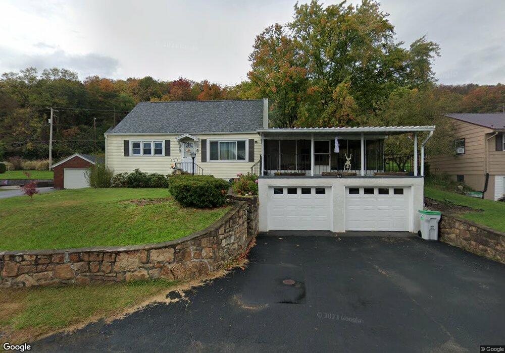
9 Linnet Ln Lock Haven, PA 17745
Estimated Value: $214,000 - $258,000
4
Beds
3
Baths
1,740
Sq Ft
$133/Sq Ft
Est. Value
About This Home
This home is located at 9 Linnet Ln, Lock Haven, PA 17745 and is currently estimated at $231,403, approximately $132 per square foot. 9 Linnet Ln is a home located in Clinton County with nearby schools including Lock Haven Christian School, Lock Haven Catholic Elementary School, and Wordsong Christian School.
Ownership History
Date
Name
Owned For
Owner Type
Purchase Details
Closed on
Dec 23, 2011
Sold by
Helbley Tanis L
Bought by
Kitch Nevin C and Kitch Dana A
Current Estimated Value
Home Financials for this Owner
Home Financials are based on the most recent Mortgage that was taken out on this home.
Original Mortgage
$121,427
Outstanding Balance
$82,945
Interest Rate
3.98%
Estimated Equity
$148,458
Create a Home Valuation Report for This Property
The Home Valuation Report is an in-depth analysis detailing your home's value as well as a comparison with similar homes in the area
Purchase History
| Date | Buyer | Sale Price | Title Company |
|---|---|---|---|
| Kitch Nevin C | $119,000 | None Available |
Source: Public Records
Mortgage History
| Date | Status | Borrower | Loan Amount |
|---|---|---|---|
| Open | Kitch Nevin C | $121,427 |
Source: Public Records
Tax History
| Year | Tax Paid | Tax Assessment Tax Assessment Total Assessment is a certain percentage of the fair market value that is determined by local assessors to be the total taxable value of land and additions on the property. | Land | Improvement |
|---|---|---|---|---|
| 2025 | $3,061 | $124,400 | $22,500 | $101,900 |
| 2024 | $2,998 | $124,400 | $22,500 | $101,900 |
| 2023 | $2,867 | $124,400 | $22,500 | $101,900 |
| 2022 | $2,867 | $124,400 | $22,500 | $101,900 |
| 2021 | $2,886 | $124,400 | $22,500 | $101,900 |
| 2020 | $2,889 | $124,400 | $0 | $0 |
| 2019 | $2,707 | $124,400 | $0 | $0 |
| 2018 | $2,652 | $124,400 | $0 | $0 |
| 2017 | $2,615 | $124,400 | $0 | $0 |
| 2016 | $2,345 | $124,400 | $0 | $0 |
| 2015 | $2,274 | $124,400 | $0 | $0 |
| 2014 | $2,310 | $124,400 | $0 | $0 |
Source: Public Records
Map
Nearby Homes
- 202 Hillside Dr
- 208 Woodward Ave
- 214 Walton Rd
- PARCEL 036 Coudersport Pike
- 13 Hickory Dr
- 11 Forest Dr
- 12 Park Dr
- 519 E Main St
- 652 E Church St
- 652 R E Church St
- 425 Cider Press Rd
- 514 E Church St
- 329 E Church St
- 316 N Grove St
- 6 Cedar Crest Dr
- 5 1/2 McElhattan Ave
- 45 W Bald Eagle St
- 114 W Bald Eagle St
- 0 Pennsylvania 120
- 307 Mackey Ave
Your Personal Tour Guide
Ask me questions while you tour the home.