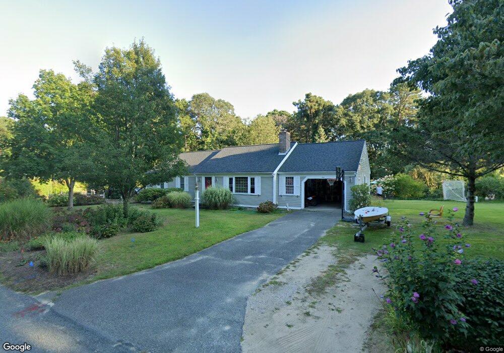
9 Liverpool Dr Yarmouth Port, MA 02675
Yarmouth Port NeighborhoodEstimated Value: $637,000 - $877,000
3
Beds
2
Baths
1,406
Sq Ft
$532/Sq Ft
Est. Value
About This Home
This home is located at 9 Liverpool Dr, Yarmouth Port, MA 02675 and is currently estimated at $748,064, approximately $532 per square foot. 9 Liverpool Dr is a home located in Barnstable County with nearby schools including Dennis-Yarmouth Regional High School.
Ownership History
Date
Name
Owned For
Owner Type
Purchase Details
Closed on
May 1, 2009
Sold by
Webster Birdella B
Bought by
Corsi 2Nd Nicola A and Corsi Natia
Current Estimated Value
Home Financials for this Owner
Home Financials are based on the most recent Mortgage that was taken out on this home.
Original Mortgage
$230,000
Interest Rate
4.86%
Mortgage Type
Purchase Money Mortgage
Purchase Details
Closed on
Oct 22, 1990
Sold by
Innes William A
Bought by
Webster Robert L
Create a Home Valuation Report for This Property
The Home Valuation Report is an in-depth analysis detailing your home's value as well as a comparison with similar homes in the area
Home Values in the Area
Average Home Value in this Area
Purchase History
| Date | Buyer | Sale Price | Title Company |
|---|---|---|---|
| Corsi 2Nd Nicola A | $330,000 | -- | |
| Webster Robert L | $175,000 | -- |
Source: Public Records
Mortgage History
| Date | Status | Borrower | Loan Amount |
|---|---|---|---|
| Open | Webster Robert L | $247,600 | |
| Closed | Webster Robert L | $38,000 | |
| Closed | Webster Robert L | $30,000 | |
| Closed | Corsi 2Nd Nicola A | $230,000 |
Source: Public Records
Tax History Compared to Growth
Tax History
| Year | Tax Paid | Tax Assessment Tax Assessment Total Assessment is a certain percentage of the fair market value that is determined by local assessors to be the total taxable value of land and additions on the property. | Land | Improvement |
|---|---|---|---|---|
| 2025 | $4,955 | $699,900 | $250,500 | $449,400 |
| 2024 | $4,655 | $630,700 | $217,900 | $412,800 |
| 2023 | $4,467 | $550,800 | $183,800 | $367,000 |
| 2022 | $4,192 | $456,600 | $164,600 | $292,000 |
| 2021 | $3,938 | $411,900 | $164,600 | $247,300 |
| 2020 | $3,824 | $382,400 | $161,900 | $220,500 |
| 2019 | $3,538 | $350,300 | $161,900 | $188,400 |
| 2018 | $3,507 | $340,800 | $152,400 | $188,400 |
| 2017 | $3,415 | $340,800 | $152,400 | $188,400 |
| 2016 | $3,401 | $340,800 | $152,400 | $188,400 |
| 2015 | $3,270 | $325,700 | $152,400 | $173,300 |
Source: Public Records
Map
Nearby Homes
- 64 Kates Path
- 34 Kates Path
- 34 Kates Path Unit 34
- 228 Kates Path
- 17 Kates Path Unit A
- 44 Stratford Ln
- 42 John Hall Cartway Unit 42
- 50 John Hall Cartway
- 50 John Hall Cartway Unit 50
- 43 Canterbury Rd
- 7 Forest Gate Unit 7
- 51 Bray Farm Rd N
- 25 Oak Glen Village Unit 25
- 25 Oak Glen
- 30 W Woods
- 30 W Woods Cir Unit 30
- 86 Pompano Rd
- 2 Pine Grove
- 6 Nimble Hill Dr
- 59 Main St Unit 19-2
- 43 Collingwood Dr
- 12 Dundee Ln
- 5 Dundee Dr
- 12 Dundee Dr
- 10 Liverpool Dr
- 53 Collingwood Dr
- 5 Dundee Ln
- 19 Liverpool Dr
- 52 Collingwood Dr
- 10 Cromwell Dr
- 2 Cromwell Dr
- 24 Liverpool Dr
- 61 Collingwood Dr
- 34 Collingwood Dr
- 15 Dundee Ln
- 26 Dundee Ln
- 62 Collingwood Dr
- 26 Dundee Dr
- 16 Cromwell Dr
- 34 Liverpool Dr