9 Lois Place Unit 2 Bloomfield, NJ 07003
Highlights
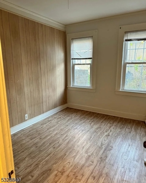
- Wood Flooring
- Formal Dining Room
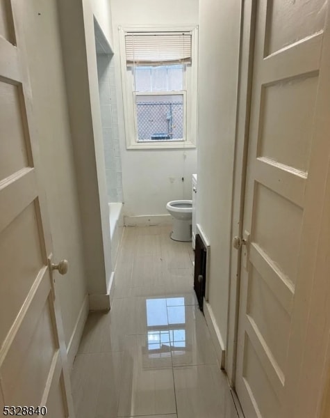
- Bathtub with Shower
- Main Floor Bedroom
- Eat-In Kitchen
- Living Room
About This Home
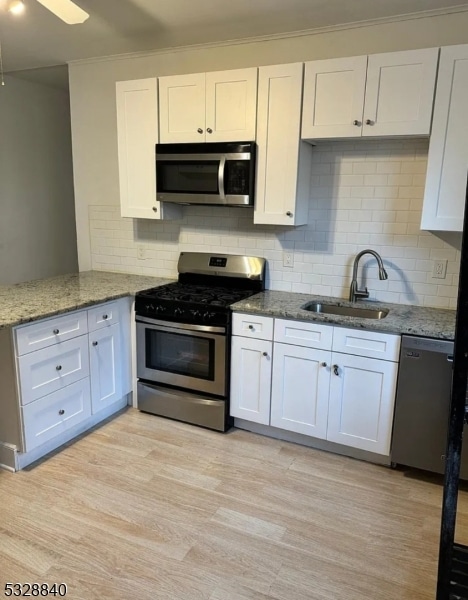
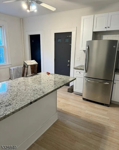
Newly renovated apartment with new appliances and beautiful kitchen. Dishwasher and washer dryer on premises, also one private parking spot is included. Nice size rooms and sunroom that can be used for an office or additional bedroom. Shared backyard. Very convenient location close to all shops, restaurants and transportation. Owner pays for water. Renters responsible for gas and electric. No smoking allowed. Small pets (up to 20 pounds) permitted. One off street parking space. Additional off street parking or garage parking an additional $100/month.
Listing Agent
RONDA MARIE TOLLIVER
TOLLIVER REALTY GROUP LLC Brokerage Phone: 973-775-9066 Listed on: 12/01/2025
Home Details
Home Type
- Single Family
Year Built
- 1924
Interior Spaces
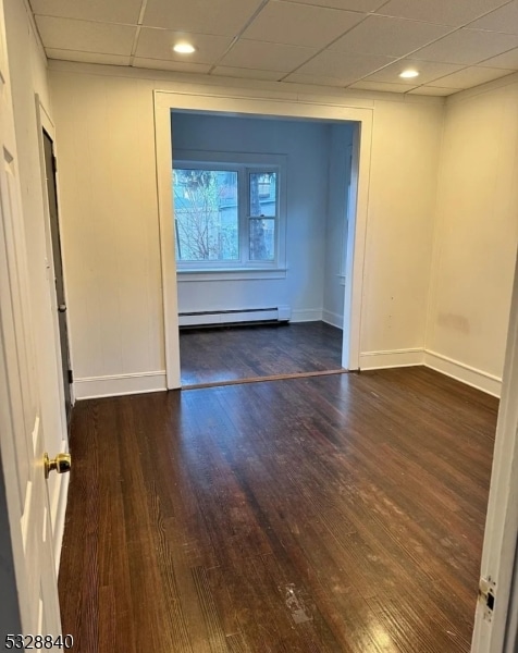
- 1,500 Sq Ft Home
- Blinds
- Living Room
- Formal Dining Room
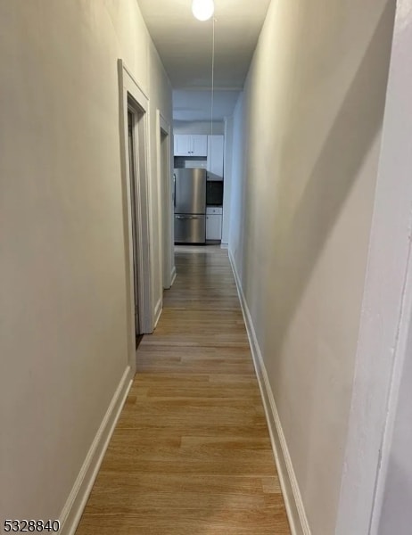
- Wood Flooring
Kitchen
- Eat-In Kitchen
- Gas Oven or Range
- Microwave
- Dishwasher
Bedrooms and Bathrooms
- 2 Bedrooms
- Main Floor Bedroom
- 1 Full Bathroom
- Bathtub with Shower
Laundry
- Laundry in unit
- Dryer
- Washer
Home Security
- Carbon Monoxide Detectors
- Fire and Smoke Detector
Parking
- 1 Parking Space
- Off-Street Parking
Additional Features
- 80 Sq Ft Lot
- Window Unit Cooling System
Community Details
- Pets Allowed
- Pet Size Limit
Listing and Financial Details
- Tenant pays for electric, gas, heat
- Assessor Parcel Number 1602-00578-0000-00017-0000-
Map
Property History
| Date | Event | Price | List to Sale | Price per Sq Ft |
|---|---|---|---|---|
| 12/01/2025 12/01/25 | For Rent | $2,350 | -- | -- |
Source: Garden State MLS
MLS Number: 3999890
APN: 02-00578-0000-00017
Disclaimer: Certain information contained herein is derived from information provided by parties other than Homes.com. All information provided is deemed reliable, but is not guaranteed to be accurate and should be independently verified.
![]() The data relating to real estate for sale on this website comes in part from the IDX Program of Garden State Multiple Listing Service, L.L.C. Real estate listings held by other brokerage firms are marked as IDX Listing.
The data relating to real estate for sale on this website comes in part from the IDX Program of Garden State Multiple Listing Service, L.L.C. Real estate listings held by other brokerage firms are marked as IDX Listing.
Information deemed reliable but not guaranteed.
Copyright © 2025 Garden State Multiple Listing Service, L.L.C. All rights reserved.
Notice: The dissemination of listings on this website does not constitute the consent required by N.J.A.C. 11:5.6.1 (n) for the advertisement of listings exclusively for sale by another broker. Any such consent must be obtained in writing from the listing broker.
This information is being provided for Consumers’ personal, non-commercial use and may not be used for any purpose other than to identify prospective properties Consumers may be interested in purchasing.
- 50 James St Unit 3
- 31 Spring St
- 27 Gillespie Rd
- 366 Hoover Ave Unit 119
- 328 Hoover Ave
- 328-330 Hoover Ave
- 10 Almira St Unit 14
- 10 14almira St
- 322 Hoover Ave Unit 73
- 298 Hoover Ave Unit 28
- 267 Hoover Ave
- 40 Brighton Ave
- 48 Broughton Ave
- 48 Broughton Ave Unit 2
- 40 Mill St Unit 7
- 28 Forest Dr
- 39 Forest Dr
- 33 Oak St
- 170 Pake St
- 36 Clarendon Place
- 145 Baldwin St Unit 2
- 50 James St
- 136 Baldwin St Unit 2
- 19 Spring St Unit 17
- 102 James St
- 414 Broad St
- 12 Gillespie Rd Unit 2nd fl
- 360 Hoover Ave Unit 109
- 363 Hoover Ave
- 22 Chapman St Unit Charming 2-Bedroom Apartm
- 440 Memorial Pkwy
- 90 Gillespie Rd
- 7 Maple St
- 73 Essex Ave
- 273 Hoover Ave Unit 2
- 47 Morris Place Unit 2
- 234 Spruce St Unit 1
- 211 E Passaic Ave
- 5 Mount Vernon Ave Unit 2
- 11 Pilgrim Ct