9 Long Ridge Ln Ipswich, MA 01938
Estimated Value: $1,389,000 - $1,559,000
3
Beds
4
Baths
4,969
Sq Ft
$298/Sq Ft
Est. Value
About This Home
This home is located at 9 Long Ridge Ln, Ipswich, MA 01938 and is currently estimated at $1,480,425, approximately $297 per square foot. 9 Long Ridge Ln is a home located in Essex County with nearby schools including Ipswich High School and Clark School.
Ownership History
Date
Name
Owned For
Owner Type
Purchase Details
Closed on
Jun 21, 2024
Sold by
Brierley Gary S and Brierley Linda
Bought by
Brierley Hldg Ft and Brierley
Current Estimated Value
Purchase Details
Closed on
Sep 24, 2021
Sold by
C P Berry Residences Llc
Bought by
Brierley Gary S and Brierley Linda K
Purchase Details
Closed on
Mar 3, 2014
Sold by
Alkhatib Muntaser A and Khatib Karyn M
Bought by
P Berry Residences L C
Create a Home Valuation Report for This Property
The Home Valuation Report is an in-depth analysis detailing your home's value as well as a comparison with similar homes in the area
Home Values in the Area
Average Home Value in this Area
Purchase History
| Date | Buyer | Sale Price | Title Company |
|---|---|---|---|
| Brierley Hldg Ft | -- | None Available | |
| Brierley Hldg Ft | -- | None Available | |
| Brierley Hldg Ft | -- | None Available | |
| Brierley Gary S | $350,000 | None Available | |
| P Berry Residences L C | $180,000 | -- |
Source: Public Records
Tax History Compared to Growth
Tax History
| Year | Tax Paid | Tax Assessment Tax Assessment Total Assessment is a certain percentage of the fair market value that is determined by local assessors to be the total taxable value of land and additions on the property. | Land | Improvement |
|---|---|---|---|---|
| 2025 | $15,693 | $1,407,400 | $356,200 | $1,051,200 |
| 2024 | $14,643 | $1,286,700 | $357,600 | $929,100 |
| 2023 | $14,296 | $1,168,900 | $305,500 | $863,400 |
| 2022 | $3,081 | $239,600 | $239,600 | $0 |
| 2021 | $2,984 | $225,700 | $225,700 | $0 |
| 2020 | $3,164 | $225,700 | $225,700 | $0 |
| 2019 | $3,327 | $236,100 | $236,100 | $0 |
| 2018 | $2,966 | $208,300 | $208,300 | $0 |
| 2017 | $2,808 | $197,900 | $197,900 | $0 |
| 2016 | $2,320 | $156,200 | $156,200 | $0 |
| 2015 | $1,970 | $145,800 | $145,800 | $0 |
Source: Public Records
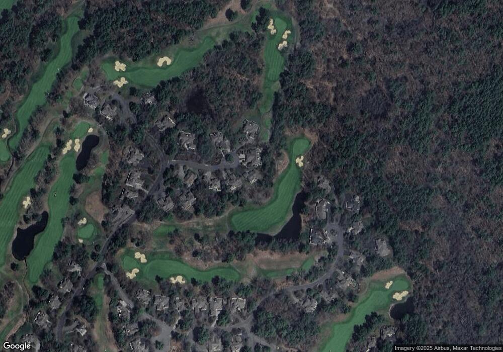
Map
Nearby Homes
- 196 Country Club Way
- 1 Court Ln
- 75 Country Club Way
- 8 Longmeadow Dr Unit 14
- 16 Cedarwood Ln
- 4 Sheppards Way
- 78 Wethersfield St
- 21 Hammond St
- 147 Linebrook Rd
- 79 Spencer Knowles Rd
- 45 Pineswamp Rd
- 480 Newburyport Turnpike
- 460 - 472 Newburyport Turnpike
- 64 Linebrook Rd
- 46 Buttonwood
- 4 Dornell Rd
- 304 & 480 Wethersfield St & Nbpt Tnpk
- 76-78 Daniels Rd
- 128 High St Unit 4
- 38 Kimball Ave Unit 5
- 9 Long Ridge Ln
- 11 Long Ridge Ln
- 7 Long Ridge Ln Unit 200
- 5 Long Ridge Ln
- 12 Long Ridge Ln
- 3 Long Ridge Ln
- 10 Long Ridge Ln
- 6 Long Ridge Ln
- 6 Long Ridge Ln Unit 6
- 6 Long Ridge Ln Unit 1
- 1 Long Ridge Ln
- 31 Choate Ln
- 4 Long Ridge Ln
- 29 Choate Ln
- 29 Choate Ln Unit 29,29
- 28 Hawk Hill Ln
- 30 Hawk Hill Ln
- 27 Choate Ln
- 26 Hawk Hill Ln
- 43 Choate Ln