9 MacChipkay Rd Arundel, ME 04046
Estimated Value: $696,654 - $830,000
3
Beds
3
Baths
2,492
Sq Ft
$308/Sq Ft
Est. Value
About This Home
This home is located at 9 MacChipkay Rd, Arundel, ME 04046 and is currently estimated at $767,914, approximately $308 per square foot. 9 MacChipkay Rd is a home located in York County with nearby schools including Kennebunk High School and School Around Us.
Ownership History
Date
Name
Owned For
Owner Type
Purchase Details
Closed on
May 23, 2011
Sold by
Chilton Kimberly J
Bought by
Chilton Cy and Chilton Robert C
Current Estimated Value
Create a Home Valuation Report for This Property
The Home Valuation Report is an in-depth analysis detailing your home's value as well as a comparison with similar homes in the area
Home Values in the Area
Average Home Value in this Area
Purchase History
| Date | Buyer | Sale Price | Title Company |
|---|---|---|---|
| Chilton Cy | -- | -- |
Source: Public Records
Tax History Compared to Growth
Tax History
| Year | Tax Paid | Tax Assessment Tax Assessment Total Assessment is a certain percentage of the fair market value that is determined by local assessors to be the total taxable value of land and additions on the property. | Land | Improvement |
|---|---|---|---|---|
| 2024 | $5,100 | $300,000 | $61,400 | $238,600 |
| 2023 | $5,100 | $300,000 | $61,400 | $238,600 |
| 2022 | $5,070 | $300,000 | $61,400 | $238,600 |
| 2021 | $5,070 | $300,000 | $61,400 | $238,600 |
| 2020 | $5,019 | $300,000 | $61,400 | $238,600 |
| 2019 | $4,890 | $300,000 | $61,400 | $238,600 |
| 2018 | $4,776 | $300,000 | $61,400 | $238,600 |
| 2017 | $4,650 | $300,000 | $61,400 | $238,600 |
| 2016 | $4,536 | $300,000 | $61,400 | $238,600 |
| 2015 | $4,485 | $300,000 | $61,400 | $238,600 |
| 2014 | $4,350 | $300,000 | $61,400 | $238,600 |
| 2013 | $4,350 | $300,000 | $61,400 | $238,600 |
Source: Public Records
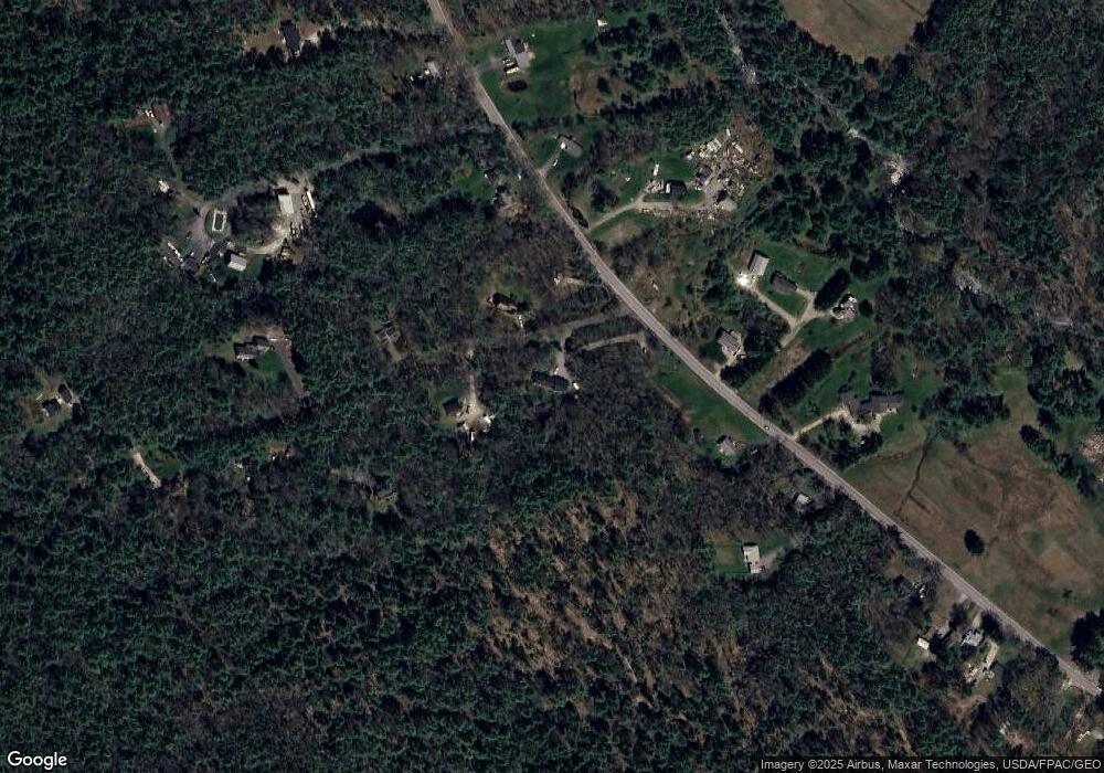
Map
Nearby Homes
- 12 Forest Dr
- 13 Forest Dr
- 2 Forest Dr
- 9 Forest Dr
- TBD Log Cabin
- 8 Tidewater Ct
- 5 Heath Rd
- 00 Arundel Rd
- 39 Powder Mill Dr
- 40 Powder Mill Dr Unit 40
- TBD Arundel Rd
- 0 Old Post Rd Unit 1628980
- 0 Portland Rd Unit 1644264
- 245 Arundel Rd
- 28 River Locks Rd
- 7 Wonderbrook Dr
- 22 River Locks Rd
- TBD Campbell Ln
- 77 North St
- 0 Campbell Ln Unit 1630141
- 143 Sinnott Rd
- 10 MacChipkay Rd
- 21 MacChipkay Rd
- 134 Sinnott Rd
- 149 Sinnott Rd
- 152 Sinnott Rd
- 24 MacChipkay Rd
- 153 Sinnott Rd
- 137 Sinnott Rd
- 29 MacChipkay Rd
- 135 Sinnott Rd
- 132 Sinnott Rd
- 133 Sinnott Rd
- 128 Sinnott Rd
- 159 Sinnott Rd
- 160 Sinnott Rd
- 40 MacChipkay Rd
- 41 MacChipkay Rd
- 124 Sinnott Rd
- 169 Sinnott Rd