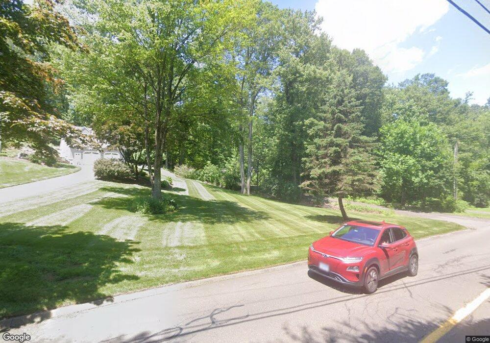
9 Macintosh Dr Oxford, CT 06478
Estimated Value: $613,000 - $763,000
3
Beds
3
Baths
2,031
Sq Ft
$344/Sq Ft
Est. Value
About This Home
This home is located at 9 Macintosh Dr, Oxford, CT 06478 and is currently estimated at $697,886, approximately $343 per square foot. 9 Macintosh Dr is a home located in New Haven County with nearby schools including Quaker Farms School, Oxford Middle School, and Oxford High School.
Ownership History
Date
Name
Owned For
Owner Type
Purchase Details
Closed on
Sep 6, 2005
Sold by
Fletter Mark and Brandolini-Fletter Jodi
Bought by
Bavone Thomas H and Bavone Christine M
Current Estimated Value
Purchase Details
Closed on
Jun 28, 1999
Sold by
Conway Kerry and Conway Tammy
Bought by
Fletter Mark and Fletter Jodi
Purchase Details
Closed on
May 26, 1992
Sold by
Ct South Dev Inc
Bought by
Yannes John L
Create a Home Valuation Report for This Property
The Home Valuation Report is an in-depth analysis detailing your home's value as well as a comparison with similar homes in the area
Home Values in the Area
Average Home Value in this Area
Purchase History
| Date | Buyer | Sale Price | Title Company |
|---|---|---|---|
| Bavone Thomas H | $424,900 | -- | |
| Bavone Thomas H | $424,900 | -- | |
| Fletter Mark | $253,000 | -- | |
| Yannes John L | $76,000 | -- |
Source: Public Records
Mortgage History
| Date | Status | Borrower | Loan Amount |
|---|---|---|---|
| Open | Yannes John L | $285,550 | |
| Closed | Yannes John L | $290,500 |
Source: Public Records
Tax History
| Year | Tax Paid | Tax Assessment Tax Assessment Total Assessment is a certain percentage of the fair market value that is determined by local assessors to be the total taxable value of land and additions on the property. | Land | Improvement |
|---|---|---|---|---|
| 2025 | $6,658 | $332,710 | $80,080 | $252,630 |
| 2024 | $6,034 | $233,800 | $88,900 | $144,900 |
| 2023 | $5,730 | $233,800 | $88,900 | $144,900 |
| 2022 | $7,535 | $233,800 | $88,900 | $144,900 |
| 2021 | $7,114 | $233,000 | $88,900 | $144,100 |
| 2020 | $7,266 | $231,500 | $89,900 | $141,600 |
| 2019 | $5,519 | $231,500 | $89,900 | $141,600 |
| 2018 | $7,026 | $231,500 | $89,900 | $141,600 |
| 2017 | $6,770 | $231,500 | $89,900 | $141,600 |
| 2016 | $5,605 | $231,500 | $89,900 | $141,600 |
| 2015 | $5,945 | $238,200 | $89,900 | $148,300 |
| 2014 | $5,924 | $238,200 | $89,900 | $148,300 |
Source: Public Records
Map
Nearby Homes
- 574 Oxford Rd
- lot1 Deerwood Rd
- 0 Christian St Unit 24096996
- 671 Oxford Rd
- 56 Larkey Rd
- 81 Oneil Rd
- 76 Dorman Rd
- 0 Larkey Rd
- 147 Riggs St
- 10 Country Farm Rd
- 66 Greenbriar Rd
- 334 Oxford Rd
- 134 Shelton Rd
- 24 Scott Rd
- 709 Championship Dr Unit 709
- 40 Plaster House Rd
- 28 Oakcrest Rd
- 19 Good Hill Rd
- 20 Oakcrest Rd
- 284 Chestnut Tree Hill Rd
- 7 Macintosh Dr
- 11 Macintosh Dr
- 8 Macintosh Dr
- 13 Macintosh Dr
- 5 Macintosh Dr
- 6 Macintosh Dr
- 12 Macintosh Dr
- 10 Macintosh Dr
- 15 Macintosh Dr
- 4 Winesap Dr
- 14 Macintosh Dr
- 4 Macintosh Dr
- 6 Winesap Dr
- 3 Winesap Dr
- 17 Macintosh Dr
- 16 Macintosh Dr
- 3 Macintosh Dr
- 5 Winesap Dr
- 0 Riverview Rd Unit 170402122
- 7 Winesap Dr
Your Personal Tour Guide
Ask me questions while you tour the home.