9 Magnolia Ct Succasunna, NJ 07876
Estimated Value: $938,000 - $984,000
--
Bed
--
Bath
3,827
Sq Ft
$250/Sq Ft
Est. Value
About This Home
This home is located at 9 Magnolia Ct, Succasunna, NJ 07876 and is currently estimated at $958,379, approximately $250 per square foot. 9 Magnolia Ct is a home located in Morris County with nearby schools including Lincoln Roosevelt Elementary School, Eisenhower Middle School, and Roxbury High School.
Ownership History
Date
Name
Owned For
Owner Type
Purchase Details
Closed on
Aug 30, 2001
Sold by
Bastarrika Jose
Bought by
Kohner Paul and Kohner Jill
Current Estimated Value
Home Financials for this Owner
Home Financials are based on the most recent Mortgage that was taken out on this home.
Original Mortgage
$230,000
Outstanding Balance
$89,165
Interest Rate
6.91%
Estimated Equity
$869,214
Purchase Details
Closed on
Nov 21, 1997
Sold by
Armont Homes Inc
Bought by
Bastarrika Jose and Bastarrika Jillane
Create a Home Valuation Report for This Property
The Home Valuation Report is an in-depth analysis detailing your home's value as well as a comparison with similar homes in the area
Home Values in the Area
Average Home Value in this Area
Purchase History
| Date | Buyer | Sale Price | Title Company |
|---|---|---|---|
| Kohner Paul | $445,000 | -- | |
| Bastarrika Jose | $269,990 | -- |
Source: Public Records
Mortgage History
| Date | Status | Borrower | Loan Amount |
|---|---|---|---|
| Open | Kohner Paul | $230,000 |
Source: Public Records
Tax History Compared to Growth
Tax History
| Year | Tax Paid | Tax Assessment Tax Assessment Total Assessment is a certain percentage of the fair market value that is determined by local assessors to be the total taxable value of land and additions on the property. | Land | Improvement |
|---|---|---|---|---|
| 2025 | $15,914 | $578,900 | $125,500 | $453,400 |
| 2024 | $14,918 | $578,900 | $125,500 | $453,400 |
| 2023 | $14,918 | $551,300 | $125,500 | $425,800 |
| 2022 | $14,521 | $551,300 | $125,500 | $425,800 |
| 2021 | $14,521 | $551,300 | $125,500 | $425,800 |
| 2020 | $14,494 | $551,300 | $125,500 | $425,800 |
| 2019 | $14,224 | $551,300 | $125,500 | $425,800 |
| 2018 | $13,947 | $323,600 | $80,800 | $242,800 |
| 2017 | $13,873 | $323,600 | $80,800 | $242,800 |
| 2016 | $13,601 | $323,600 | $80,800 | $242,800 |
| 2015 | $13,264 | $323,600 | $80,800 | $242,800 |
| 2014 | $13,054 | $323,600 | $80,800 | $242,800 |
Source: Public Records
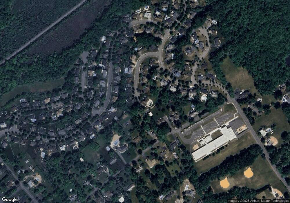
Map
Nearby Homes
- 142 S Hillside Ave
- 6 Henry St
- 3 Beechwood Dr
- 14 Honeyman Dr
- 7 Mountainview Rd
- 50 Henry St
- 17 Unneberg Ave
- 11 Unneberg Ave
- 209 Woods Edge Dr Unit 209
- 219 Woods Edge Dr Unit 219
- 29 Eyland Ave
- 32 Radcliffe Dr
- 30 Woods Edge Dr
- 26 Woods Edge Dr
- 3 Makin Ln
- 6 Perin Place
- 117 Woods Edge Dr
- 94 Woods Edge Dr
- 36 Ridge Rd
- 11 Colonial Way
- 7 Magnolia Ct
- 44 Cornhollow Rd
- 11 Hawthorn Dr
- 14 Magnolia Ct
- 5 Magnolia Ct
- 9 Hawthorn Dr
- 12 Magnolia Ct
- 15 Hawthorn Dr
- 10 Magnolia Ct
- 3 Magnolia Ct
- 42 Cornhollow Rd
- 23 Tamarack Dr
- 21 Tamarack Dr
- 46 Cornhollow Rd
- 7 Hawthorn Dr
- 50 Cornhollow Rd
- 25 Tamarack Dr
- 19 Tamarack Dr
- 8 Magnolia Ct
- 1 Magnolia Ct