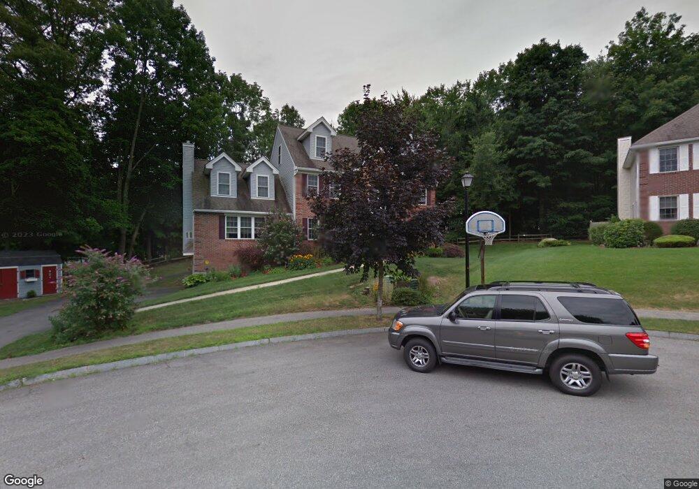
9 Massasoit Ln Haverhill, MA 01835
Central Bradford NeighborhoodEstimated Value: $793,744 - $1,061,000
5
Beds
3
Baths
3,214
Sq Ft
$292/Sq Ft
Est. Value
About This Home
This home is located at 9 Massasoit Ln, Haverhill, MA 01835 and is currently estimated at $938,936, approximately $292 per square foot. 9 Massasoit Ln is a home located in Essex County with nearby schools including Bradford Elementary School, Haverhill High School, and Sacred Heart School.
Ownership History
Date
Name
Owned For
Owner Type
Purchase Details
Closed on
Oct 15, 2018
Sold by
Danehy Kevin T and Danehy Susan
Bought by
Danehy Irt
Current Estimated Value
Purchase Details
Closed on
Aug 18, 2000
Sold by
Premiere Rt
Bought by
Danehy Kevin T and Danehy Susan
Create a Home Valuation Report for This Property
The Home Valuation Report is an in-depth analysis detailing your home's value as well as a comparison with similar homes in the area
Home Values in the Area
Average Home Value in this Area
Purchase History
| Date | Buyer | Sale Price | Title Company |
|---|---|---|---|
| Danehy Irt | -- | -- | |
| Danehy Kevin T | $356,441 | -- |
Source: Public Records
Mortgage History
| Date | Status | Borrower | Loan Amount |
|---|---|---|---|
| Previous Owner | Danehy Kevin T | $255,000 | |
| Previous Owner | Danehy Kevin T | $256,000 | |
| Previous Owner | Danehy Kevin T | $185,300 | |
| Previous Owner | Danehy Kevin T | $100,000 |
Source: Public Records
Tax History
| Year | Tax Paid | Tax Assessment Tax Assessment Total Assessment is a certain percentage of the fair market value that is determined by local assessors to be the total taxable value of land and additions on the property. | Land | Improvement |
|---|---|---|---|---|
| 2025 | $8,161 | $762,000 | $207,200 | $554,800 |
| 2024 | $7,887 | $741,300 | $203,600 | $537,700 |
| 2023 | $7,717 | $692,100 | $203,600 | $488,500 |
| 2022 | $7,414 | $582,900 | $189,000 | $393,900 |
| 2021 | $7,280 | $541,700 | $181,800 | $359,900 |
| 2020 | $7,129 | $524,200 | $174,500 | $349,700 |
| 2019 | $7,008 | $502,400 | $152,700 | $349,700 |
| 2018 | $6,753 | $471,300 | $145,400 | $325,900 |
| 2017 | $6,751 | $450,400 | $145,400 | $305,000 |
| 2016 | $6,812 | $443,500 | $145,400 | $298,100 |
| 2015 | $6,808 | $443,500 | $145,400 | $298,100 |
Source: Public Records
Map
Nearby Homes
- 90 Orchard Hill Rd
- 47 Salem St
- 124 S Park St
- 21 Conover Way
- 10 Winchester St
- 5 S Webster St
- 67 S Central St
- 18 Greenleaf St
- 15 S Central St
- 399 S Main St
- 40 William Ave
- 13 Towne Hill Rd
- 27 Vernon St
- 499 Chadwick Rd
- 41 Sherwood Dr
- 129 S Elm St
- 143 S Elm St
- 552 S Main St Unit 2
- 116 Towne Hill Rd
- 52-58 Washington St Unit BC
Your Personal Tour Guide
Ask me questions while you tour the home.