Estimated Value: $445,849 - $601,000
4
Beds
5
Baths
1,608
Sq Ft
$322/Sq Ft
Est. Value
About This Home
This home is located at 9 Matthew Allen Ct, Troy, IL 62294 and is currently estimated at $518,212, approximately $322 per square foot. 9 Matthew Allen Ct is a home located in Madison County with nearby schools including Silver Creek Elementary School, Triad Middle School, and Triad High School.
Ownership History
Date
Name
Owned For
Owner Type
Purchase Details
Closed on
Jul 30, 2003
Sold by
Buske Glenn A and Buske Velma R
Bought by
Todt Steve and Todt Lisa
Current Estimated Value
Home Financials for this Owner
Home Financials are based on the most recent Mortgage that was taken out on this home.
Original Mortgage
$33,600
Interest Rate
4.95%
Mortgage Type
Unknown
Create a Home Valuation Report for This Property
The Home Valuation Report is an in-depth analysis detailing your home's value as well as a comparison with similar homes in the area
Home Values in the Area
Average Home Value in this Area
Purchase History
| Date | Buyer | Sale Price | Title Company |
|---|---|---|---|
| Todt Steve | $42,000 | Abstracts & Titles Inc |
Source: Public Records
Mortgage History
| Date | Status | Borrower | Loan Amount |
|---|---|---|---|
| Closed | Todt Steve | $33,600 |
Source: Public Records
Tax History Compared to Growth
Tax History
| Year | Tax Paid | Tax Assessment Tax Assessment Total Assessment is a certain percentage of the fair market value that is determined by local assessors to be the total taxable value of land and additions on the property. | Land | Improvement |
|---|---|---|---|---|
| 2024 | $8,477 | $139,380 | $27,440 | $111,940 |
| 2023 | $8,477 | $127,300 | $25,060 | $102,240 |
| 2022 | $7,891 | $115,420 | $22,720 | $92,700 |
| 2021 | $7,222 | $109,110 | $21,480 | $87,630 |
| 2020 | $7,162 | $105,350 | $20,740 | $84,610 |
| 2019 | $7,107 | $103,760 | $20,430 | $83,330 |
| 2018 | $7,075 | $97,630 | $19,220 | $78,410 |
| 2017 | $6,799 | $94,290 | $18,560 | $75,730 |
| 2016 | $6,638 | $94,290 | $18,560 | $75,730 |
| 2015 | $5,752 | $91,240 | $17,960 | $73,280 |
| 2014 | $5,752 | $91,240 | $17,960 | $73,280 |
| 2013 | $5,752 | $91,240 | $17,960 | $73,280 |
Source: Public Records
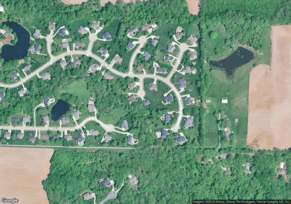
Map
Nearby Homes
- 220 Michael Dr
- 2141 Willow Creek
- 2335 Staunton Rd
- 8748 Wendell Creek Dr
- 0 Lower Marine Rd Unit MIS25066224
- Tbd Lower Marine Rd
- 511 Ruddy Ct
- 8929 Rock Creek Dr
- 2001 Kensington Place
- 106 James Dr
- 2854 Fawn Meadows Ct
- 2016 Richview Dr
- 212 Red Bird St
- 208 Powell St
- 304 Watt St
- 10 Ellington Dr
- 501 Glendale Dr
- 513 Coventry Rd
- 120 Collinsville Rd
- 102 W High St
- 5 Matthew Allen Ct
- 257 Michael Dr
- 152 Oakland Dr
- 2 Matthew Allen Ct
- 156 Oakland Dr
- 1 Matthew Allen Ct
- 260 Michael Dr
- 160 Oakland Dr
- 253 Michael Dr
- 141 Oakland Dr
- 145 Oakland Dr
- 140 Oakland Dr
- 149 Oakland Dr
- 164 Oakland Dr
- 256 Michael Dr
- 157 Oakland Dr
- 137 Oakland Dr
- 153 Oakland Dr
- 249 Michael Dr
- 6 Rachael Ct