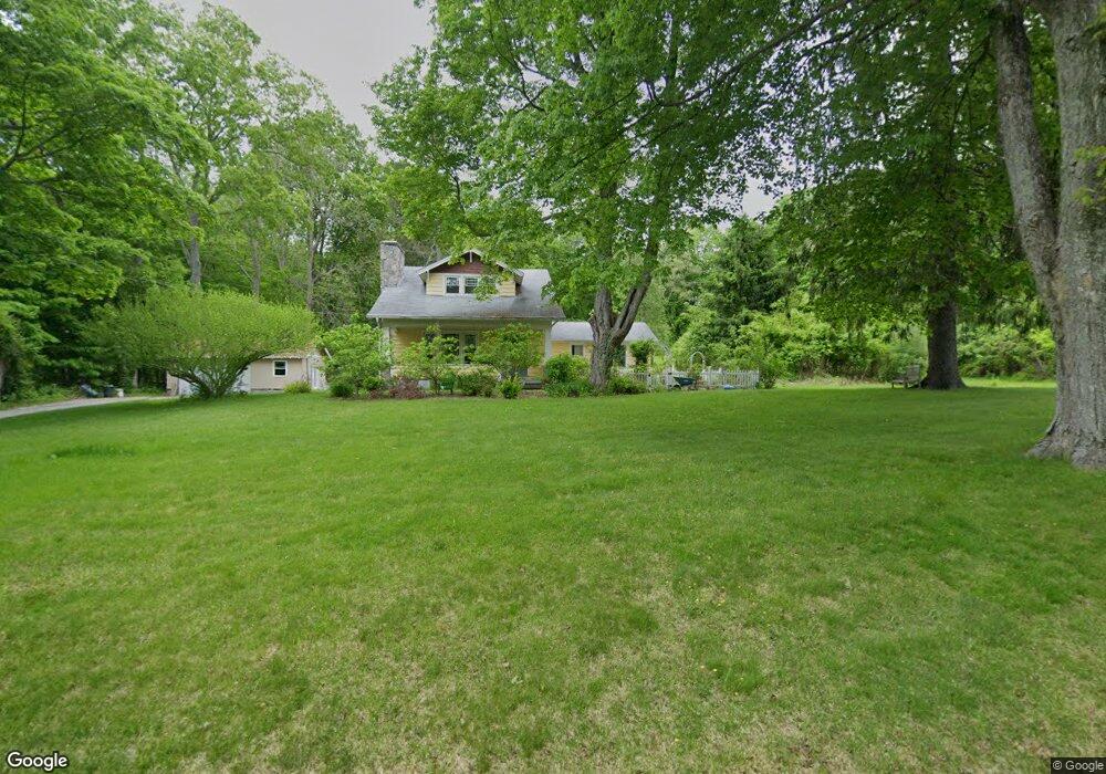
9 Maynard Hill Rd Preston, CT 06365
Estimated Value: $386,000 - $534,000
4
Beds
2
Baths
2,309
Sq Ft
$194/Sq Ft
Est. Value
About This Home
This home is located at 9 Maynard Hill Rd, Preston, CT 06365 and is currently estimated at $447,395, approximately $193 per square foot. 9 Maynard Hill Rd is a home located in New London County with nearby schools including Integrated Day Charter School, St. Joseph School, and St. Patrick Cathedral School.
Ownership History
Date
Name
Owned For
Owner Type
Purchase Details
Closed on
Jul 27, 2000
Sold by
Buck Antonia
Bought by
Stanley Lisa and Stanley Bruce
Current Estimated Value
Home Financials for this Owner
Home Financials are based on the most recent Mortgage that was taken out on this home.
Original Mortgage
$115,000
Interest Rate
8.18%
Create a Home Valuation Report for This Property
The Home Valuation Report is an in-depth analysis detailing your home's value as well as a comparison with similar homes in the area
Home Values in the Area
Average Home Value in this Area
Purchase History
| Date | Buyer | Sale Price | Title Company |
|---|---|---|---|
| Stanley Lisa | $164,500 | -- |
Source: Public Records
Mortgage History
| Date | Status | Borrower | Loan Amount |
|---|---|---|---|
| Open | Stanley Lisa | $28,000 | |
| Open | Stanley Lisa | $127,500 | |
| Closed | Stanley Lisa | $115,000 |
Source: Public Records
Tax History
| Year | Tax Paid | Tax Assessment Tax Assessment Total Assessment is a certain percentage of the fair market value that is determined by local assessors to be the total taxable value of land and additions on the property. | Land | Improvement |
|---|---|---|---|---|
| 2025 | $5,059 | $201,460 | $50,330 | $151,130 |
| 2024 | $4,708 | $201,460 | $50,330 | $151,130 |
| 2023 | $4,624 | $201,460 | $50,330 | $151,130 |
| 2022 | $4,238 | $152,000 | $52,900 | $99,100 |
| 2021 | $4,095 | $152,000 | $52,900 | $99,100 |
| 2020 | $4,089 | $152,000 | $52,900 | $99,100 |
| 2019 | $4,017 | $152,000 | $52,900 | $99,100 |
| 2018 | $3,957 | $152,000 | $52,900 | $99,100 |
| 2017 | $3,907 | $162,800 | $57,200 | $105,600 |
| 2016 | $3,867 | $162,800 | $57,200 | $105,600 |
| 2015 | $3,744 | $162,800 | $57,200 | $105,600 |
| 2014 | $3,767 | $162,800 | $57,200 | $105,600 |
Source: Public Records
Map
Nearby Homes
- 256 Route 2
- 15 Paster Rd
- 7 Halls Mill Rd
- 36 Route 2a
- 104 Route 2a
- 31 Branch Hill Rd
- 381 Route 2
- 14 Abbey Rd
- 16 Abbey Rd
- 991 Shewville Rd
- 11 Willow Ln
- 25 Coachman Pike
- 16 Marlene Dr
- 105 Stonington Rd
- 278 Palmer Street Extension
- 121 Watson Rd
- 3 Holdsworth Rd
- 6 Lake of Isles Rd
- 4 Lake of Isles Rd
- 10 Buttercup Ln
- 6 Maynard Hill Rd
- 12 Maynard Hill Rd
- 298 Miller Rd
- 5 Maynard Hill Rd
- 16 Maynard Hill Rd
- 294 Miller Rd
- 18 Maynard Hill Rd
- 252 Route 2
- 7 Maynard Hill Rd
- 235 Route 2
- 21 Maynard Hill Rd
- 292 Miller Rd
- 244 Route 2
- 293 Miller Rd
- 22 Maynard Hill Rd
- 291 Miller Rd
- 233 Route 2
- 288 Miller Rd
- 25 Maynard Hill Rd
- 289 Miller Rd
Your Personal Tour Guide
Ask me questions while you tour the home.