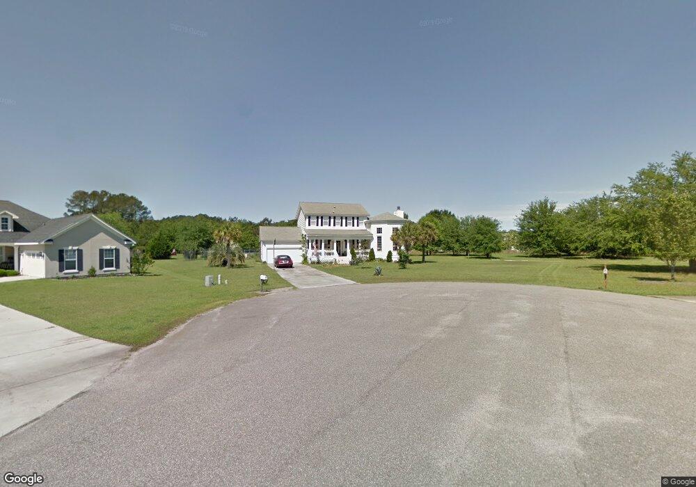
9 Maypop Ct Bluffton, SC 29910
Estimated Value: $478,000 - $662,000
3
Beds
3
Baths
2,046
Sq Ft
$275/Sq Ft
Est. Value
About This Home
This home is located at 9 Maypop Ct, Bluffton, SC 29910 and is currently estimated at $561,869, approximately $274 per square foot. 9 Maypop Ct is a home located in Beaufort County with nearby schools including Bluffton Elementary School, H.E. McCracken Middle School, and May River High School.
Ownership History
Date
Name
Owned For
Owner Type
Purchase Details
Closed on
Jul 16, 2025
Sold by
Hohmann Elizabeth
Bought by
Elizabeth M Hohmann Revocable Living Trust and Hohmann
Current Estimated Value
Purchase Details
Closed on
Sep 30, 2005
Sold by
Vinel Andrea J
Bought by
Hohman Jorg H and Hohman Elizabeth
Home Financials for this Owner
Home Financials are based on the most recent Mortgage that was taken out on this home.
Original Mortgage
$200,000
Interest Rate
5.66%
Mortgage Type
Fannie Mae Freddie Mac
Create a Home Valuation Report for This Property
The Home Valuation Report is an in-depth analysis detailing your home's value as well as a comparison with similar homes in the area
Purchase History
| Date | Buyer | Sale Price | Title Company |
|---|---|---|---|
| Elizabeth M Hohmann Revocable Living Trust | -- | None Listed On Document | |
| Elizabeth M Hohmann Revocable Living Trust | -- | None Listed On Document | |
| Hohman Jorg H | $255,000 | None Available |
Source: Public Records
Mortgage History
| Date | Status | Borrower | Loan Amount |
|---|---|---|---|
| Previous Owner | Hohman Jorg H | $200,000 |
Source: Public Records
Tax History
| Year | Tax Paid | Tax Assessment Tax Assessment Total Assessment is a certain percentage of the fair market value that is determined by local assessors to be the total taxable value of land and additions on the property. | Land | Improvement |
|---|---|---|---|---|
| 2024 | $1,206 | $16,556 | $4,600 | $11,956 |
| 2023 | $1,451 | $16,556 | $4,600 | $11,956 |
| 2022 | $1,336 | $12,432 | $1,720 | $10,712 |
| 2021 | $1,322 | $12,432 | $1,720 | $10,712 |
| 2020 | $1,317 | $12,432 | $1,720 | $10,712 |
| 2019 | $1,283 | $12,432 | $1,720 | $10,712 |
| 2018 | $1,244 | $9,640 | $0 | $0 |
| 2017 | $1,100 | $8,380 | $0 | $0 |
| 2016 | $1,082 | $8,380 | $0 | $0 |
| 2014 | $1,089 | $8,380 | $0 | $0 |
Source: Public Records
Map
Nearby Homes
- 19 Heartstone Cir
- 20 Grande Oaks Dr
- 306 Cold Creek Pass
- 493 Live Oak Walk
- 2 Long Lake Dr
- 474 Live Oak Walk
- 128 Stoney Crossing
- 79 Fording Ct
- 214 Stoney Crossing
- 7 W Morningside Dr
- 10 Anchor Bay Ct
- 229 Stoney Crossing
- 18 Anchor Bay Ct
- 5 Woodland Ct
- 52 Fording Ct
- 16 Anchor Cove Ct
- 21 Braemar Ct
- 20 Fish Dancer Ct
- 202 Fording Trace
- 16 Braemar Ct
- 5 Maypop Ct
- 15 Heartstone Cir
- 17 Heartstone Cir
- 10 Maypop Ct
- 8 Deep Lagoon Ct
- 11 Heartstone Cir
- 39 Grande Oaks Dr
- 10 Deep Lagoon Ct
- 9 Heartstone Cir
- 8 Maypop Ct
- 3 Maypop Ct
- 6 Deep Lagoon Ct
- 21 Heartstone Cir
- 7 Heartstone Cir
- 16 Heartstone Cir
- 5 Heartstone Cir
- 23 Heartstone Cir
- 38 Grande Oaks Dr
- 4 Maypop Ct
- 37 Grande Oaks Dr
Your Personal Tour Guide
Ask me questions while you tour the home.